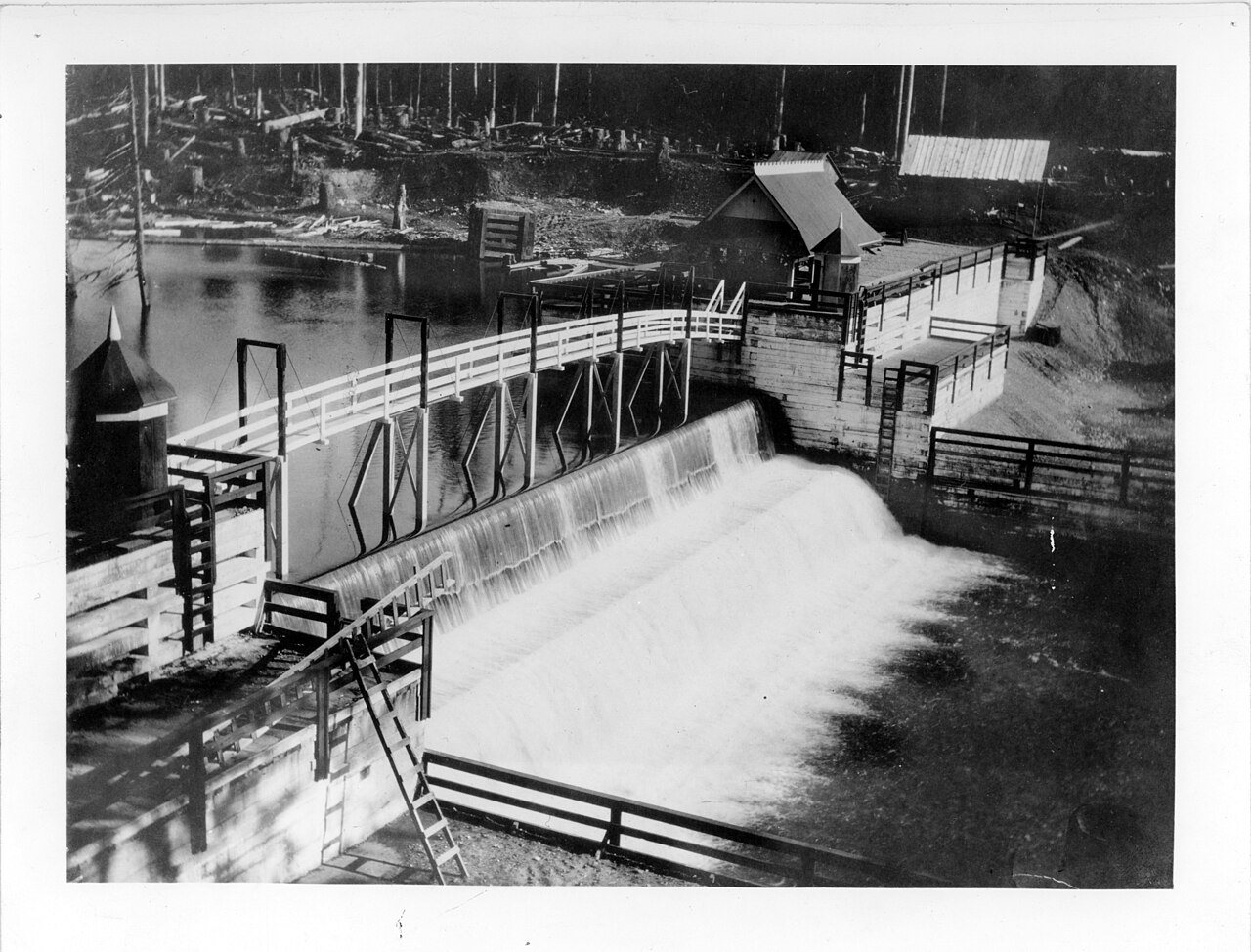
 Seattle Municipal Light and Power Plant · Photo: Seattle Municipal Archives from Seattle, WA · CC BY 2.0
Few parks or trails are on the map in Wilderness Rim
0.2 miles of mapped trail cross Wilderness Rim, 0.3 per square mile of land. 62% of residents live within a half mile of a park.
Ahead of 19% of U.S. towns. What drives it
How much outdoors does Wilderness Rim have?
On conserved land, trails, park land and how close residents live to a park, Wilderness Rim is ahead of 19% of U.S. towns. Trail miles hold the grade up; conserved land pulls it down.
PAD-US, OpenStreetMap (© OpenStreetMap contributors), Census 2025 Gazetteer and 2020 blocks; details in Sources below. How TownRatings grades the outdoors →
Conserved land, trails & bike routes
Tap a number to zoom to a park. Tap a layer to hide it.
The best walking months in Wilderness Rim: May to September
NOAA’s 1991–2020 normals for the town and the daylight at its latitude. Outlined months have long days, highs of 59 to 86 °F and little rain for the place.
| Jan | Feb | Mar | Apr | May | Jun | Jul | Aug | Sep | Oct | Nov | Dec | |
|---|---|---|---|---|---|---|---|---|---|---|---|---|
| Daylight (h) | 8.8 | 10.2 | 11.8 | 13.6 | 15.1 | 15.9 | 15.6 | 14.2 | 12.5 | 10.8 | 9.2 | 8.5 |
| High (°F) | 44 | 46 | 50 | 56 | 63 | 67 | 74 | 74 | 69 | 58 | 48 | 42 |
| Rain (in) | 10.9 | 7.5 | 8.5 | 7.3 | 5.3 | 4.4 | 1.7 | 1.8 | 4.0 | 8.3 | 12.0 | 10.3 |
July is the driest month (1.7 in) and August the warmest (highs of 74 °F). 12.0 inches fall in November, the wettest month. The climate in Wilderness Rim →
Questions about parks and trails in Wilderness Rim
How much of Wilderness Rim is conserved land?
under 1% of its land, against a typical 4% for a Washington town and 4% nationally (PAD-US). Conserved doesn’t always mean open to visitors: easements are usually private land.
Is there public land near Wilderness Rim?
51,551 acres of parks and open public land lie inside Wilderness Rim or within 10 miles of it (PAD-US), almost none of it inside the town line.
How much outdoors does Wilderness Rim have?
Ahead of 19% of U.S. towns on the Outdoors grade. The grade combines the share of land that is conserved, miles of mapped trail per square mile of land, park acres per 1,000 residents and the share of residents within a half mile of a park. It’s a character grade, so it isn’t part of the overall grade. How it works.
Trail talk
Conditions, parking and favorite walks from Wilderness Rim neighbors.
Where this page comes from
Conserved and public land: USGS Protected Areas Database of the United States (PAD-US), service updated July 2026. Parks, trails, playgrounds, beaches and other places: OpenStreetMap (© OpenStreetMap contributors, ODbL), map data as of 2026-10-28. Land and water area: Census 2025 Gazetteer. Residents near a park: 2020 Census blocks. National Register: National Park Service. How TownRatings grades the outdoors →