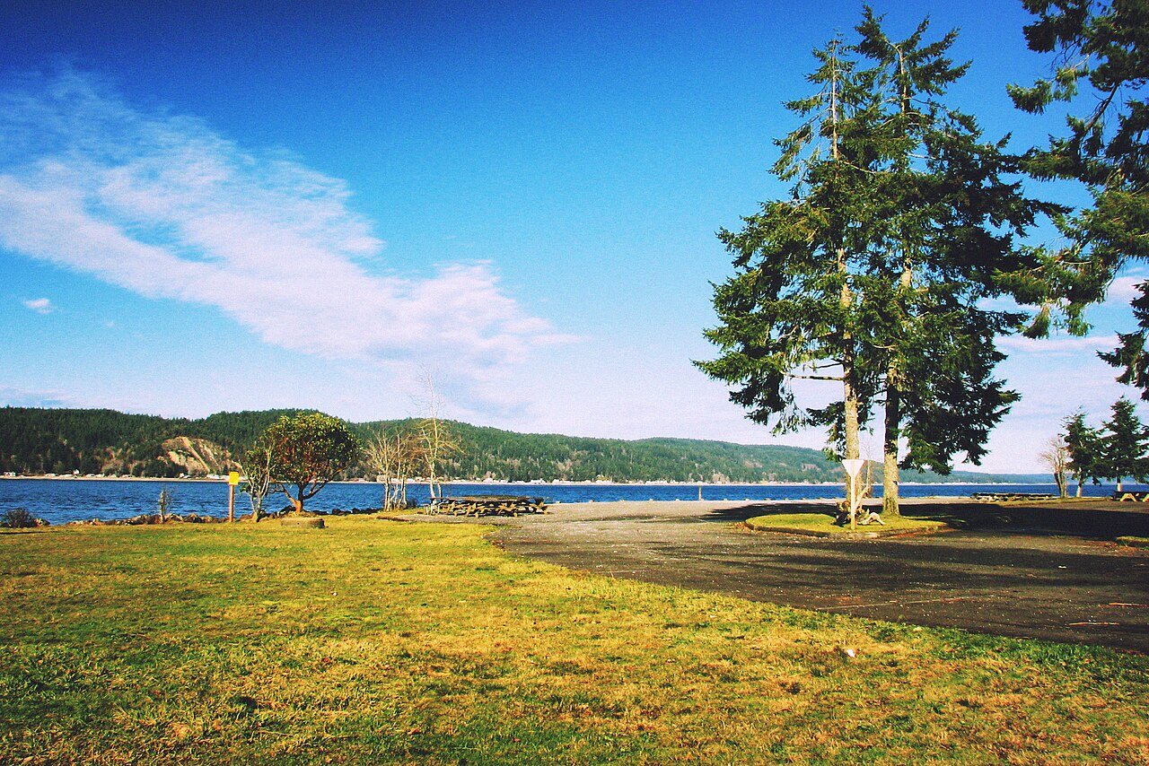
Twanoh State Park · Photo: Steven Pavlov · CC BY-SA 4.0
–Not graded
History · Union
Union dates to 1858
Most of Union was built recently: 6% of its homes predate 1940 and the median home dates from 1981. Below: 6 old photos and papers, maps from 1943 on, and old-book passages.
The Hood Canal basin is the indigenous territory of several neighboring Native American communities, including the Skokomish and Squaxin peoples.
In the 1830s, white fur traders built a blockhouse on the bluff where Union is today. Settlers arrived in the area in the 1840s, with the future Union City site being claimed in 1852 by Thomas Webb or Wells. The town of Union was founded and named in 1858 by merchants Willson and Anderson.
Passages that mention Union, cut from the printed page as they were published.
Centennial history of Missouri (the center state) one hundred years in the Union, 1820-19211921 · page 393Read the page →
Read the text
In May. iii%3, Mr. Frauenthal entered the aervlce of the Union Depot Company In the telegnph department of the old Union depot at Twelfth and Poplar atreete, where he was steadily promoted to higher responsibilities in the telegraph and ticket departments. In 1893 be accepted a position with the Wabash Western Railway Company In a capacity preparatory to fitting him for the information bureau of the St. Louie Union atation, then In procees of oon«tractton« On the opening of the Union atatlon, September S. 1894. he was given Charge of the tnfonnattoa bureau and nnder his unique direction It becann t'lfirst successful organized bureau for the dissemina-
Text read by machine from the scan; it may contain errors.
Scans and text from the Internet Archive. Books published in 1930 or earlier, which are in the public domain.
Timeline
Union, 1858 to 1943
Woven from the archive, old maps, post office records, the National Register and the people born here.
Nothing in the archives for these yearsWeddings on Main Street, storms, parades, school pictures, the old store. If it’s in your family album, it belongs here.
Founding dates: Wikidata, Wikipedia, the U.S. post office records of Blevins & Helbock (CC0) and the Census. Homes by year built: Census ACS 2020–24. National Register of Historic Places: National Park Service (list of May 22, 2026). Old photos, postcards and papers: Wikimedia Commons, the Library of Congress and other public archives, credited on each item’s page. Maps: U.S. Geological Survey historical topographic maps (via Esri) and Sanborn fire-insurance maps (Library of Congress). History text and census tables: Wikipedia (CC BY-SA 4.0). Places that used to be: USGS Geographic Names Information System (2021). How TownRatings grades history →
From Wikimedia Commons (7), Wikipedia, U.S. Geological Survey historical maps, the US Post Offices dataset (Blevins & Helbock), the USGS Geographic Names Information System and old county and town histories (Internet Archive). Archive images are copied here with their credits and licenses, shown on each photo’s page. Refreshed monthly.


 1880
 1880
 c. 1905
 2010


