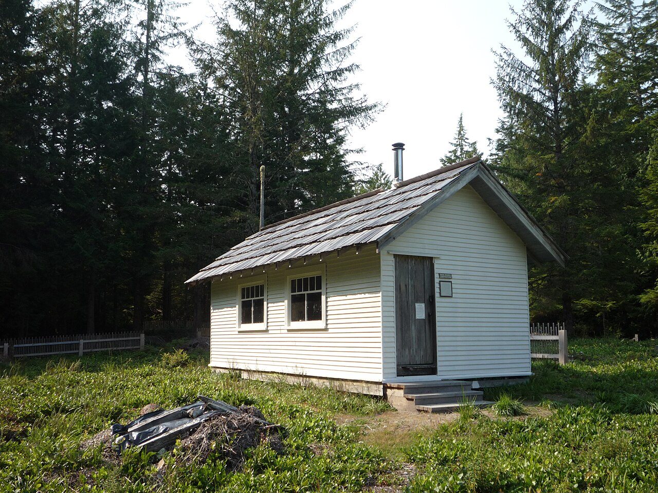
Peter Roose Homestead · Photo: Dog Walking Girl · CC BY-SA 3.0
–Not graded
History · Neah Bay
Neah Bay’s post office opened in 1874
Most of Neah Bay was built recently: 8% of its homes predate 1940 and the median home dates from 1985. Below: 6 old photos and papers and maps from 1938 on.
The name "Neah" refers to the Makah Chief Dee-ah, pronounced Neah in the Klallam language. The town is named for the water body Neah Bay, which acquired its name in the early 19th century. A number of names were used for the bay before it was established as Neah Bay. In August 1788 Captain Charles Duncan, a British trader, charted a bay at the location of Neah Bay, but did not give it a name. In 1790 Manuel Quimper took possession of the bay for Spain and named it "Bahía de Núñez Gaona" in honor of Alonso Núñez de Haro y Peralta, viceroy of New Spain. In 1792 Salvador Fidalgo began to build a Spanish fort on Neah Bay, but the project failed within the year and the cannon and supplies were transported to the more northerly colony of Santa Cruz de Nuca. While Fidalgo was working on the fort George Vancouver charted but did not stop at the bay. American traders called Neah Bay "Poverty Cov…
Nothing in the archives for these yearsWeddings on Main Street, storms, parades, school pictures, the old store. If it’s in your family album, it belongs here.
Founding dates: Wikidata, Wikipedia, the U.S. post office records of Blevins & Helbock (CC0) and the Census. Homes by year built: Census ACS 2020–24. National Register of Historic Places: National Park Service (list of May 22, 2026). Old photos, postcards and papers: Wikimedia Commons, the Library of Congress and other public archives, credited on each item’s page. Maps: U.S. Geological Survey historical topographic maps (via Esri) and Sanborn fire-insurance maps (Library of Congress). History text and census tables: Wikipedia (CC BY-SA 4.0). Places that used to be: USGS Geographic Names Information System (2021). How TownRatings grades history →
From Wikimedia Commons (6), Wikipedia, Wikidata and Wikipedia for famous people, U.S. Geological Survey historical maps, the US Post Offices dataset (Blevins & Helbock) and the USGS Geographic Names Information System. Archive images are copied here with their credits and licenses, shown on each photo’s page. Refreshed monthly.


 c. 1900
 c. 1900
 1900

