
Large log in shingle mill, Mumby Lumber and Shingle Company, Malone, ca. 1930, c. 1930
Malone’s story
114 years in pictures
The archive holds 11 old photos and papers going back to 1930 and 3 maps from 1941 on.
- 1912Malone is settled
Each edition grades its towns against each other only.
Population 518: a town settled in 1912.
Only one of the 286 Washington towns we compare has a higher home-ownership rate than Malone. Malone’s concentration of trails is 4.0 miles per square mile, above both the Washington town median (0.8) and the median of U.S. towns (0.4). Capitol State Forest, at 2,718 acres with 20 miles of trail, is the biggest park or preserve. Malone has fewer than 1,000 residents, too few for fair grades; the figures below are still real.
The archive holds 11 old photos and papers going back to 1930 and 3 maps from 1941 on.
In a town this size, neighbors are the best guide. Ask them anything.
Ordered by what stands out in Malone.
On expected storm and flood damage, Malone sits above 88% of U.S. communities. 60% of the town’s expected losses from natural hazards come from inland flooding, followed by earthquakes at 35%. Federal aid has come to Malone households in 3 declared disasters; the latest was in 2009.
FEMA disaster declarations and aid · FEMA National Risk Index · OpenFEMA
The median commute is under 23 miles. In Malone, the typical household income is $118,000. The top destinations are Olympia (9%), Lacey (6%) and Seattle (5%).
| Malone | Washington towns | U.S. towns | |
|---|---|---|---|
| Median household income | $118,000 | $98,000 | $80,000 |
| Average trip to work | 23 minutes | 27 minutes | 25 minutes |
Census LEHD 2023 · ACS
Malone’s midsummer high stands at 77°F.
NOAA U.S. Climate Normals, 1991–2020
In Malone, 22% of adults say their health is fair or poor. Only 6 of the 286 Washington towns we compare have a higher share of adults who smoke cigarettes than Malone.
| Malone | Washington towns | U.S. towns | |
|---|---|---|---|
| Yearly checkup (CDC PLACES) | 70% | 71% | 79% |
| Sleep under 7 hours (CDC PLACES) | 40% | 33% | 36% |
| Depression (CDC PLACES) | 29% | 26% | 23% |
| Frequent physical distress (CDC PLACES) | 16% | 13% | 14% |
| What stands out | Malone | WA |
|---|---|---|
| More adults with COPD | 8.5% | 5.1% |
| More smokers | 16.5% | 10.1% |
| More older adults who have lost all their teeth | 13.9% | 9% |
CDC PLACES 2025 · modeled estimates for adults · CMS · HRSA
Among 273 Washington towns, just 10 have a lower share of conserved land than Malone. There are 36 miles of trail across 1 park or preserve.
| Biggest places to walk | Trails | Acres |
|---|---|---|
| 1. Capitol State Forest | 20 mi | 2,718 |
Trails & parks © OpenStreetMap contributors · Conserved land: USGS PAD-US
Museums, parks, gardens and other places to visit around Malone. Close and well known come first.
 Big draw36 mi National ParkOlympic National Park3.6M visitors a year
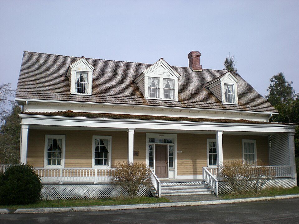 37 mi MuseumFort Steilacoom
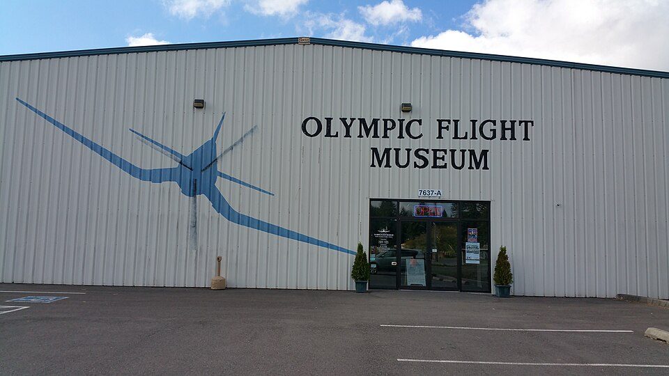 19 mi MuseumOlympic Flight Museum39 mi MuseumMcChord Air Museum
 20 mi MuseumDaniel R. Bigelow House
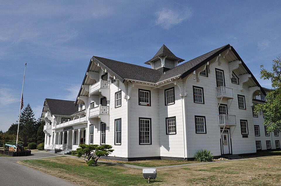 34 mi MuseumLewis Army Museum
Olympic National Park: Wsiegmund, CC BY 2.5 · Fort Steilacoom: Ben Cody, Public domain · Olympic Flight Museum: Articseahorse, CC BY-SA 4.0 · Daniel R. Bigelow House: OHS&BHM, CC BY-SA 3.0 · Lewis Army Museum: Joe Mabel, CC BY-SA 3.0
Malone is unincorporated, so Grays Harbor County and regional agencies provide most services.
EPA SDWIS (Oct 9, 2026) · HIFLD + EIA-861 2025 · Census 2020 ZCTAs · NCES 2024–25 · registration: vote.gov, updated Sep 30, 2026.
Where Malone’s working residents go each day. Line width shows the share.
Census LEHD 2023
None within 15 miles of Malone; the nearest are
About 0 of every 100 Malone residents are enrolled in college, against 6 across Washington.
Census-designated place in Washington, United States
Malone is an unincorporated community and census-designated place (CDP) in Grays Harbor County, Washington, United States. The population was 468 at the 2020 census. Prior to 2010 it was part of the Malone-Porter CDP; Malone and Porter are now separate CDPs. They are located just off U.S. Route 12, southeast of Elma and northwest of Oakville, and along a shortline that is part of the Puget Sound and Pacific Railroad.
From Wikipedia, licensed CC BY-SA 4.0 · facts via Wikidata (CC0)
Short answers, built from the data on this page.
Malone has fewer than 1,000 residents, too few for fair grades; the figures below are still real.
Ask a question, answer one, post a photo or an event. Free, and the parts only a neighbor would know are the parts worth reading.


