
Kapowsin, Washington - boardwalk to the island, 1920
Kapowsin’s story
123 years in pictures
The archive holds 1 old photo or paper going back to 1920 and 2 maps from 1956 on.
- 1903Kapowsin is settled
Each edition grades its towns against each other only.

Population 466: a town settled in 1903.
Kapowsin’s average trip to work is 45 minutes, against 27 minutes in Washington’s towns and 25 minutes across U.S. towns. Only one of the 286 Washington towns we compare has a higher home-ownership rate than Kapowsin. Kapowsin has fewer than 1,000 residents, too few for fair grades; the figures below are still real.
In a town this size, neighbors are the best guide. Ask them anything.
The archive holds 1 old photo or paper going back to 1920 and 2 maps from 1956 on.
Kapowsin is unincorporated, so Pierce County and regional agencies provide most services.
EPA SDWIS (Oct 9, 2026) · HIFLD + EIA-861 2025 · Census 2020 ZCTAs · NCES 2024–25 · registration: vote.gov, updated Sep 30, 2026.
Ordered by what stands out in Kapowsin.
Half of commuters travel less than 23 miles. The share of residents in Kapowsin who live below the poverty line: 5.6%. The top destinations are Tacoma (13%), Seattle (7%) and Puyallup (7%).
Census LEHD 2023 · ACS
84% of Kapowsin’s expected losses from natural hazards come from avalanches, followed by earthquakes at 7%. On expected storm and flood damage, Kapowsin sits above 71% of U.S. communities. 4 flood insurance claims have been paid locally since 1986.
FEMA flood insurance claims · FEMA National Risk Index · OpenFEMA
NOAA U.S. Climate Normals, 1991–2020
Among adults in Kapowsin, 72% had a checkup this year. In Kapowsin, 28% of adults have been diagnosed with depression.
| Kapowsin | Washington towns | U.S. towns | |
|---|---|---|---|
| Depression (CDC PLACES) | 28% | 26% | 23% |
| Yearly checkup (CDC PLACES) | 72% | 71% | 79% |
| Sleep under 7 hours (CDC PLACES) | 37% | 33% | 36% |
| Obesity (CDC PLACES) | 38% | 33% | 35% |
| What stands out | Kapowsin | WA |
|---|---|---|
| More older adults who have lost all their teeth | 13.1% | 9% |
| More adults with obesity | 37.5% | 30.6% |
| More adults with arthritis | 29.7% | 24.4% |
CDC PLACES 2025 · modeled estimates for adults · CMS · HRSA
The trail density for Kapowsin comes to 0.3 miles per square mile. Count the trails in 2 parks and preserves and they come to 1.4 miles.
| Kapowsin | Washington towns | U.S. towns | |
|---|---|---|---|
| Miles of trail per square mile | 0.3 miles per square mile | 0.8 | 0.4 |
| Conserved land | 3.8% | 4% | 4.3% |
| Biggest places to walk | Trails | Acres |
|---|---|---|
| 1. Lake Kapowsin Water Access | 0.1 mi | 11 |
| 2. Lake Whitman Public Access | — | 1 |
Trails & parks © OpenStreetMap contributors · Conserved land: USGS PAD-US
Zillow Home Value Index · Redfin Data Center
Museums, parks, gardens and other places to visit around Kapowsin. Close and well known come first.
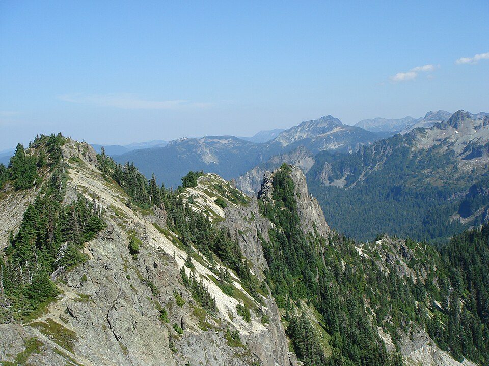 12 mi National ParkMount Rainier National Park1.6M visitors a year
 21 mi Stadium & arenaTacoma Dome
 21 mi Theme parkWild Waves Theme Park
 38 mi MuseumThe Museum of Flight400K visitors a year4 mi Zoo & aquariumNorthwest Trek Wildlife Park
 35 mi Ski areaCrystal Mountain86 runs · 2,389 ft vertical
Mount Rainier National Park: Ricardo Martins from Gent, Belgium, CC BY 2.0 · Tacoma Dome: Broran28, Public domain · Wild Waves Theme Park: Jessica Spengler from Hove, United Kingdom, CC BY 2.0 · The Museum of Flight: Fawcett5 at English Wikipedia, Public domain · Crystal Mountain: ZhengZhou, CC BY-SA 3.0
None within 15 miles of Kapowsin; the nearest are
About 9 of every 100 Kapowsin residents are enrolled in college, against 6 across Washington.
Where Kapowsin’s working residents go each day. Line width shows the share.
Census LEHD 2023
Census-designated place in Washington, United States
Kapowsin is a census-designated place located approximately 25 miles (38 kilometers) southeast of Tacoma in Pierce County, Washington, United States. The 2020 Census placed the population at 372. Kapowsin, originally Kapousen Precinct, was named for its shallow lake. The ancient glacial drainage channel provides a nearly level connection between the Puyallup and Nisqually Rivers, and formed a natural travel route at the base of the Cascade foothills. Chief Kapowsin was a fictional leader with an iron fist who lived on the lake's shores, a folklore told by the Nisqually tribe that lived in the nearby village of bacálabc (or bišál; southwest of Eatonville) prior to the area being settled in...
From Wikipedia, licensed CC BY-SA 4.0 · facts via Wikidata (CC0)
Short answers, built from the data on this page.
Kapowsin has fewer than 1,000 residents, too few for fair grades; the figures below are still real.


