138 years in pictures
Census counts: 803 in 2000, 907 in 2020. The archive holds 18 old photos and papers going back to 1912 and 5 maps from 1936 on.
1 place on the National Register of Historic Places.
- 1888Brinnon is settled

Each edition grades its towns against each other only.

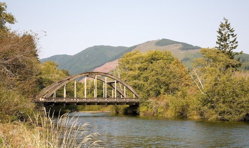
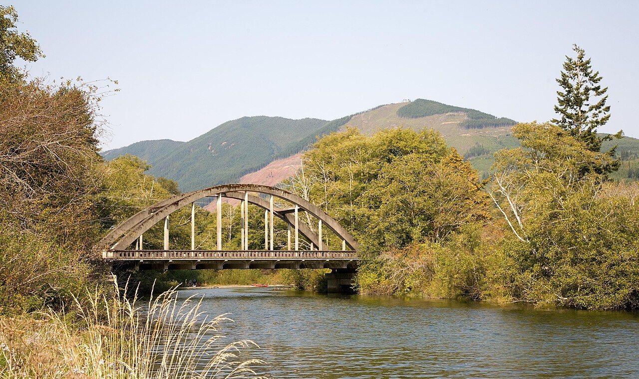
5.8% of residents are under 18 in Brinnon, where Washington’s towns sit at 22% and U.S. towns at 22%. Of the 286 Washington towns we compare, none has a higher median age than Brinnon. 20% of the land in Brinnon is conserved, above both Washington’s towns (4%) and U.S. towns (4.3%). Duckabush River Bridge and North Hamma Hamma River Bridge is on the National Register of Historic Places. Brinnon has fewer than 1,000 residents, too few for fair grades; the figures below are still real.
Where Brinnon beats most towns.
In a town this size, neighbors are the best guide. Ask them anything.
Census counts: 803 in 2000, 907 in 2020. The archive holds 18 old photos and papers going back to 1912 and 5 maps from 1936 on.
1 place on the National Register of Historic Places.
Museums, parks, gardens and other places to visit around Brinnon. Close and well known come first.
Big draw27 mi LookoutSpace Needle
Big draw10 mi National ParkOlympic National Park3.6M visitors a year
Big draw26 mi Stadium & arenaClimate Pledge Arena
Big draw28 mi Stadium & arenaLumen Field
28 mi Stadium & arenaT-Mobile Park
28 mi Ancient siteSeattle UndergroundSpace Needle: Another Believer, CC BY-SA 4.0 · Olympic National Park: Wsiegmund, CC BY 2.5 · Climate Pledge Arena: Sea Cow, CC BY-SA 4.0 · Lumen Field: "Smart Destinations", GoSeattleCard.com, and Go Seattle Card Blog, CC BY-SA 2.0 · T-Mobile Park: MyName (Cacophony), CC BY-SA 3.0 · Seattle Underground: Mark Hursh, CC BY-SA 3.0
Brinnon is unincorporated, so Jefferson County and regional agencies provide most services.
EPA SDWIS (Oct 9, 2026) · HIFLD + EIA-861 2025 · Census 2020 ZCTAs · NCES 2024–25 · registration: vote.gov, updated Sep 30, 2026.
Ordered by what stands out in Brinnon.
Its one school is below. The Brinnon School District runs its public schools. The town’s only public school teaches 72 students.
| School | Level | Students | Letter |
|---|---|---|---|
| Brinnon ElementaryLargest public elementary schoolGrades K–8 | Grades K–8 | 72 | – |
NCES · EDFacts
Expected storm and flood damage is higher than in 91% of U.S. communities. FEMA puts 54% of Brinnon’s expected hazard losses down to inland flooding, and 35% to earthquakes. Federal disaster aid has reached households in Brinnon once, in 2003.
FEMA disaster declarations and aid · FEMA National Risk Index · OpenFEMA
Brinnon: 90% of households are owner-occupiers.
Census ACS, 2020–24 · Zillow Home Value Index · Redfin Data Center
Half the trips to work are shorter than 33 miles. The share of residents in Brinnon who live below the poverty line: 17%. Commuting out is the norm here: 7% of working residents work locally. In Brinnon, the typical household income is $63,000.
| Brinnon | Washington towns | U.S. towns | |
|---|---|---|---|
| Below the poverty line | 17% | 7.9% | 9.6% |
| Median household income | $63,000 | $98,000 | $80,000 |
| Average trip to work | 30 minutes | 27 minutes | 25 minutes |
Census LEHD 2023 · ACS
The biggest place to walk is Dosewallips State Park, 423 acres with 3.6 miles of trail. 13 miles of trail wind through 5 parks and preserves. The density of trails for Brinnon comes to 1.3 miles per square mile.
| Biggest places to walk | Trails | Acres |
|---|---|---|
| 1. Dosewallips State Park | 3.6 mi | 423 |
| 2. Duckabush Wildlife Area | — | 44 |
| 3. Triton Cove State Park | — | 29 |
Trails & parks © OpenStreetMap contributors · Conserved land: USGS PAD-US
NOAA U.S. Climate Normals, 1991–2020
25% of adults get no exercise outside work in Brinnon. Among 286 Washington towns, just 9 have a higher share of adults who smoke cigarettes than Brinnon. Of 31 CDC measures, Brinnon beats the Washington average on 4 and trails it on 13.
| Brinnon | Washington towns | U.S. towns | |
|---|---|---|---|
| Diabetes (CDC PLACES) | 18% | 9.8% | 12% |
| High blood pressure (CDC PLACES) | 48% | 31% | 35% |
| Binge drink (CDC PLACES) | 12% | 17% | 16% |
| Fair or poor health (CDC PLACES) | 27% | 17% | 19% |
| What stands out | Brinnon | WA |
|---|---|---|
| Fewer binge drinkers | 11.9% | 16.6% |
| More adults treating high blood pressure | 80.3% | 70.7% |
| More adults with COPD | 12.2% | 5.1% |
CDC PLACES 2025 · modeled estimates for adults · CMS · HRSA
1 within 15 miles of the center of Brinnon
About 12 of every 100 Brinnon residents are enrolled in college, against 6 across Washington.
Where Brinnon’s working residents go each day. Line width shows the share.
Census LEHD 2023
Census-designated place in Washington, United States
Brinnon is a census-designated place (CDP) in Jefferson County, Washington, United States. The population was 907 at the 2020 census. The community is named for Ewell P. Brinnon, who in the late 1850s took a donation land claim at the mouth of the Duckabush River. Its known landmarks include Dosewallips State Park, Triton Cove State Park, Murhutt Falls, and Black Point Marina. Brinnon is also adjacent to Camp Parsons, the oldest Boy Scout camp west of the Mississippi River.
From Wikipedia, licensed CC BY-SA 4.0 · facts via Wikidata (CC0)
Short answers, built from the data on this page.
Brinnon has fewer than 1,000 residents, too few for fair grades; the figures below are still real.
