AltoonaWA
A town of 43, settled in 1901.
Is Altoona a good place to live?
Altoona’s July high is 70°F, below both the Washington town median (77°F) and the median of U.S. towns (85°F). Among 286 Washington towns, just 5 have a higher age of the median resident than Altoona. Columbia River Gillnet Boat is on the National Register of Historic Places. Altoona has fewer than 1,000 residents, too few for fair grades; the figures below are still real.
Altoona lives by the ocean
Coastal flooding makes up 16% of the storm damage FEMA expects here.
FEMA National Risk Index · OpenFEMA · OpenStreetMap
Moving to Altoona: who provides what
Altoona is unincorporated, so Wahkiakum County and regional agencies provide most services.
EPA SDWIS (Oct 9, 2026) · HIFLD + EIA-861 2025 · Census 2020 ZCTAs · NCES 2024–25 · registration: vote.gov, updated Sep 30, 2026.
The data
Ordered by what stands out in Altoona.
Top of a very high hazard risk in Altoona: tsunamis
Storm and flood damage is expected to run higher than in 86% of U.S. communities. Of the losses FEMA expects in Altoona, 34% come from tsunamis and 30% from inland flooding.
FEMA National Risk Index · OpenFEMA
In Altoona, expect mild winters and pleasant summers
The town’s January low stands at 36°F, close to Washington’s towns (35°F) and above U.S. towns (22°F).
Typical low → high °F
NOAA U.S. Climate Normals, 1991–2020
Compared with most of Washington and the rest of the country, more of Altoona’s adults have diabetes
Altoona beats the Washington average on 6 of 31 CDC measures and trails it on 14. No town among the 286 in Washington we compare has a higher share of adults who have high blood pressure than Altoona. In addition, just over two fifths of Altoona adults have obesity. Only 2 of the 286 Washington towns we compare have a lower share of adults who binge drink than Altoona.
| Altoona | Washington towns | U.S. towns | |
|---|---|---|---|
| Diabetes (CDC PLACES) | 18% | 9.8% | 12% |
| Frequent physical distress (CDC PLACES) | 19% | 13% | 14% |
| Binge drink (CDC PLACES) | 11% | 17% | 16% |
| High blood pressure (CDC PLACES) | 50% | 31% | 35% |
| What stands out | Altoona | WA |
|---|---|---|
| Fewer binge drinkers | 10.8% | 16.6% |
| Fewer adults facing housing insecurity | 8.3% | 9.9% |
| More adults with COPD | 11.2% | 5.1% |
CDC PLACES 2025 · modeled estimates for adults · CMS · HRSA
0% of Altoona is conserved land
Altoona’s density of trails stands at 0.2 miles per square mile. 1.7 miles of trail.
Trails & parks © OpenStreetMap contributors · Conserved land: USGS PAD-US
Fort Clatsop and 12 more within 40 miles
Museums, parks, gardens and other places to visit around Altoona. Close and well known come first.
 16 mi LandmarkFort Clatsop
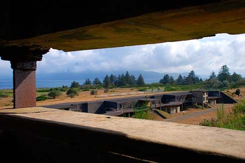 17 mi LandmarkFort Stevens
 11 mi LandmarkAstoria Column
 30 mi LighthouseTillamook Rock Light
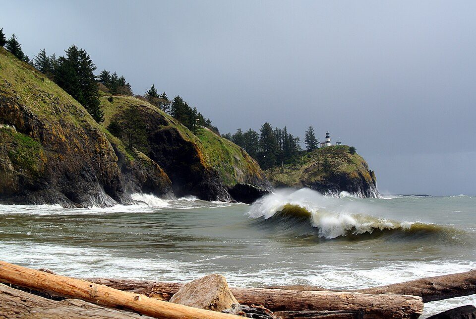 22 mi State parkCape Disappointment State Park
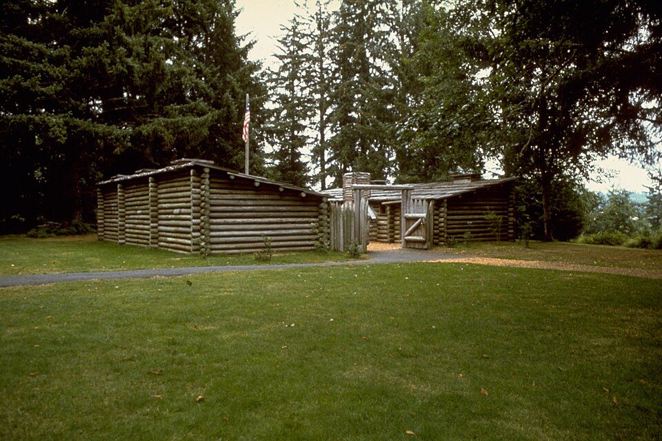 11 mi National Historical ParkLewis and Clark National Historical Park244K visitors a year
Photo credits
Fort Clatsop: Glenn Scofield Williams from USA, CC BY 2.0 · Fort Stevens: Gary Halvorson, Oregon State Archives, Attribution · Astoria Column: The original uploader was Decumanus at English Wikipedia., CC BY-SA 3.0 · Tillamook Rock Light: Jwyoung, CC BY-SA 4.0 · Cape Disappointment State Park: Adbar, CC BY-SA 3.0 · Lewis and Clark National Historical Park: National Park Service Digital Image Archives, Public domain


Everything we know about Altoona
Colleges nearby
1 within 15 miles of the center of Altoona
About 0 of every 100 Altoona residents are enrolled in college, against 6 across Washington.
43 people, and everyone knows the way
In a town this size, neighbors are the best guide. Ask them anything.
About Altoona
CDP in Washington, United States
Altoona is a census-designated place (CDP) in Wahkiakum County, Washington, approximately 27 miles northwest of the town of Cathlamet. As of the 2020 census, Altoona had a population of 56. The CDP includes the communities of Carlson Landing and Dahlia.
From Wikipedia, licensed CC BY-SA 4.0 · facts via Wikidata (CC0)
- Area
- 5.1 sq mi
- Elevation
- 495 ft
- Area code
- 360
Questions about Altoona
Short answers, built from the data on this page.
Is Altoona, WA a good place to live?
Altoona has fewer than 1,000 residents, too few for fair grades; the figures below are still real.