Wikipedia doesn’t have a history of South Royalton yet. The photos, dates and memories neighbors add here are how it gets written.
South Royalton is an unincorporated village and census-designated place (CDP) in the town of Royalton, Windsor County, Vermont, United States. As of the 2020 census, South Royalton had a population of 654. South Royalton is the largest community in the town. It is home to the Vermont Law School. The central portion of the village is a historic district, listed on the National Register of Historic Places as the South Royalton Historic District. The Joseph Smith Birthplace Memorial is located approximately two miles to the east. South Royalton is the town pictured in the opening credits of the WB television show Gilmore Girls.
Its first post office opened in 1850. Between the 2010 and 2020 censuses its population fell from 694 to 654 (-6%).
Intro from Wikipedia. Population: U.S. Census Bureau.
By decade
South Royalton, decade by decade
4 decades in the archive, from the 1870s to the 1910s. Scroll each row; tap a photo for its story.
Nothing in the archives for these yearsWeddings on Main Street, storms, parades, school pictures, the old store. If it’s in your family album, it belongs here.
Fire insurance maps drew every building, what it was made of and what it was used for, so insurers could price the risk of fire. Pick a year, then a sheet.
Sanborn Map Company, via the Library of Congress. Editions published in 1930 or earlier, which are in the public domain.
From the old history books
What they wrote about South Royalton in 1891
Passages that mention South Royalton, cut from the printed page as they were published.
History of Windsor county, Vermont1891 · page 777Read the page →
Read the text
The churches of South Royalton village are two in number, a Congregational and a Methodist. The Methodist Society has been in existence many years in the town, although its church home at the South village is comparatively new. Formerly the society had a chapel at Royalton village. The South Royalton Congregational Church Society was formed in 1868, and an offshoot, practically, from the mother church at the other village. The church edifice on the park was built in 1868.
Text read by machine from the scan; it may contain errors.
Scans and text from the Internet Archive. Books published in 1930 or earlier, which are in the public domain.
Timeline
South Royalton, 1870 to 1981
Woven from the archive, old maps, post office records, the National Register and the people born here.
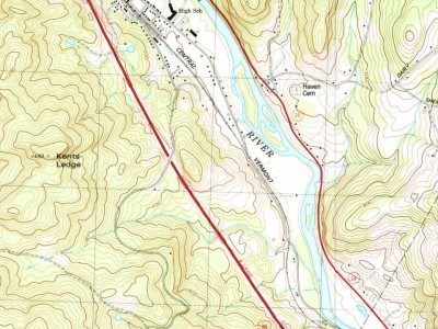
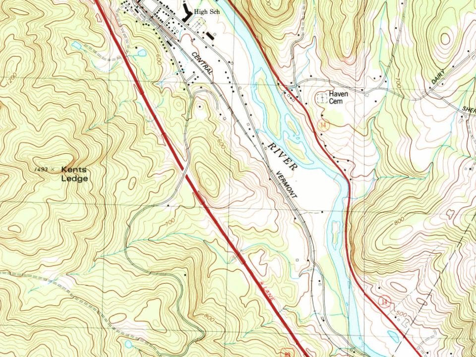
The U.S. Geological Survey’s map of South Royalton.
1981South Royalton sheet · 1:24,000
U.S. Geological Survey historical topographic maps (public domain), via Esri’s collection of the scans. The red ring marks the center of South Royalton.
Then & now
Stand where they stood
No then-and-now pairs yet. Take a photo from the same spot as an old one and they appear here side by side.
Retake this viewSouth Royalton in 1870s, 1870
Find the spot, match the angle, and add your photo. It becomes the first then-and-now pair on South Royalton’s page.
Founding dates: Wikidata, Wikipedia, the U.S. post office records of Blevins & Helbock (CC0) and the Census. Homes by year built: Census ACS 2020–24. National Register of Historic Places: National Park Service (list of May 22, 2026). Old photos, postcards and papers: Wikimedia Commons, the Library of Congress and other public archives, credited on each item’s page. Maps: U.S. Geological Survey historical topographic maps (via Esri) and Sanborn fire-insurance maps (Library of Congress). History text and census tables: Wikipedia (CC BY-SA 4.0). Places that used to be: USGS Geographic Names Information System (2021). How TownRatings grades history →
From Wikimedia Commons (12), Wikidata and Wikipedia for famous people, U.S. Geological Survey historical maps, Sanborn fire insurance maps (Library of Congress) and old county and town histories (Internet Archive). Archive images are copied here with their credits and licenses, shown on each photo’s page. Refreshed monthly.


 1870
 1878
 1886
 1902
 1903
 1907
 1909
 c. 1911
 c. 1911
 c. 1911
 c. 1911
 c. 1911