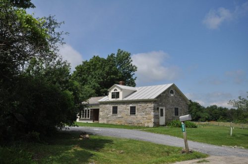
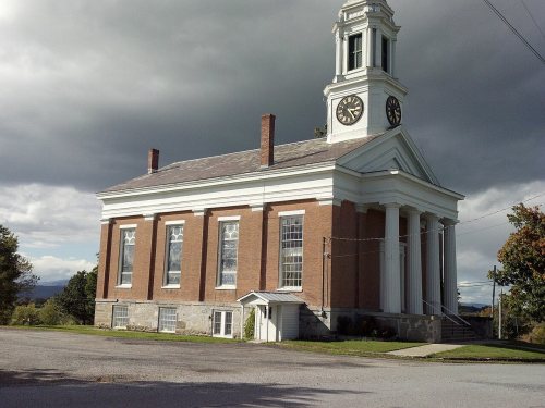
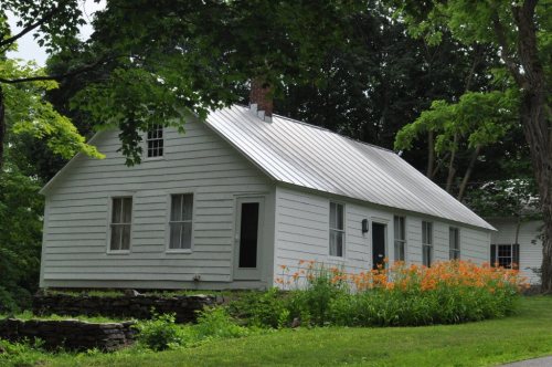
8 places in town are on the National Register, among them two historic districts with 12 buildings between them. Below: maps from 1894 on and the census since 1790.
Founding year: Wikidata. First post office: 1806.The full story ↓
History grade
What drives Shoreham’s History grade
On its age, its old homes and the National Register, Shoreham is more historic than 95% of U.S. towns. All 3 inputs are above most U.S. towns; its age ranks highest and its National Register listings lowest.
A
HistoryA character grade: shown, never part of Shoreham’s overall grade.
Vermont towns list more on the Register than most of the country (a typical Vermont town has 147 per 10,000 residents, the U.S. 2.4), so Shoreham’s 165 sits above most of its state (67% of Vermont towns have fewer) while its 21 historic buildings outnumber those of 80% of U.S. towns.
NoteThe founding year comes from Wikidata alone; no second source gives 1761.
How sure. Graded on any two of the three inputs instead, the letter would range from A to A+. The pre-1940 share is a Census survey estimate (±8.2 points).
Founding year: Wikidata (other dates in Quick answers). Homes: Census ACS 2020–24. National Register: National Park Service, May 2026 list; each listing counted once (boundary changes and added documentation belong to their listing), and a historic district counts its contributing buildings. How TownRatings grades history →
What stands out about Shoreham’s past
Read from the archive, the National Register and the record. The page puts what stands out first.
Early in the morning of May 10, 1775, American and Green Mountain Boy militias under the command of Ethan Allen and Benedict Arnold sailed across Lake Champlain from Hand's Cove, in what is today Shoreham, to take part in the Capture of Fort Ticonderoga.
Passages that mention Shoreham, cut from the printed page as they were published.
History of the town of Shoreham, Vermont1861 · page 46Read the page →
Read the text
Voted, To lay out a third division of one hundred acres to each right or share of land in the township of Shoreham, to be laid out in parallel lines with the lines of the lots that are laid out in the first division, adjoining the lots laid out in the first division.
Text read by machine from the scan; it may contain errors.
History of the town of Shoreham, Vermont1861 · page 13Read the page →
Read the text
condition, ho returned to Castleton and reported what he had seen and heard. Allen immediately despatched Maj. Beach as a messenger to collect men, to meet his party at a place since known as Hand's Point, in the town of Shoreham. Beach went on foot to Butland, Pittsford, Brandon, Middlebury, Whiting and Shoreham, making a circuit of sixty miies in twenty-four hours. "While in Castleton, Allen was joined by Arnold, who claimed the command of the party by a commission, as he said, from Massachusetts ; but
Text read by machine from the scan; it may contain errors.
History of Addison county Vermont, with illustrations and biographical sketches of some of its prominent men and pioneers1886 · page 617Read the page →
Read the text
more, in equal width with the other lots for their draft in said division, in proportion to one right of twenty-six acres as above mentioned. Voted, Mr. Daniel Hemenway be a superintendent to oversee the business of laying out of lands voted to be laid out by the Proprietors of Shoreham. Voted, Thomas Rowley, esq., to be the surveyor to lay out the lands voted to be laid out in Shoreham and his wages to be one dollar each day while in service. Voted, To lay a tax of five Spanish Milled Dollars on each right or share of land in Shoreham, to defray the charges of laying out the lands now voted to be laid
Text read by machine from the scan; it may contain errors.
Scans and text from the Internet Archive. Books published in 1930 or earlier, which are in the public domain.
Timeline
Shoreham, 1761 to 1918
Woven from the archive, old maps, post office records, the National Register and the people born here.
In 1761, according to Wikidata. Shoreham’s post office opened in 1806, and the first U.S. census counted 721 people here in 1790.
How does Shoreham rank for history?
Shoreham is more historic than 95% of U.S. towns. The History grade combines the town’s founding era, the share of homes built before 1940 and its National Register listings. It’s a character grade, so it isn’t part of the overall grade. How it works.
What is on the National Register in Shoreham?
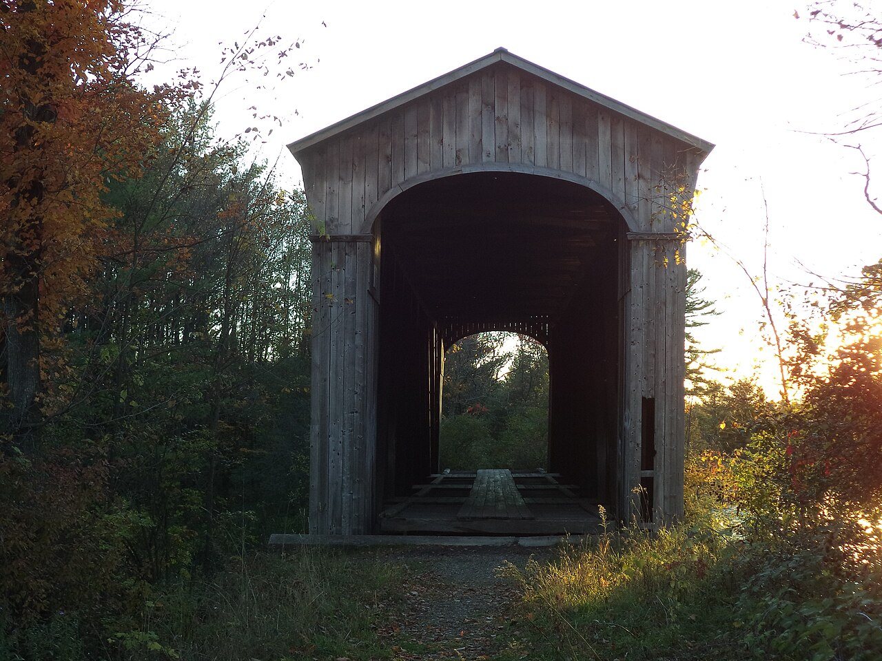
8 listings: 5 buildings, 2 historic districts, the Witherell Farm and the Colonel Ephraim and Sarah Doolittle Farm, with 12 contributing buildings, and 1 structure. 21 historic buildings in all.
How old are the homes in Shoreham?
26% of Shoreham’s homes were built before 1940 (Census estimate, ±8.2 points), against a typical 22% for a Vermont town; the median home was built in 1979.
Founding dates: Wikidata, Wikipedia, the U.S. post office records of Blevins & Helbock (CC0) and the Census. Homes by year built: Census ACS 2020–24. National Register of Historic Places: National Park Service (list of May 22, 2026). Old photos, postcards and papers: Wikimedia Commons, the Library of Congress and other public archives, credited on each item’s page. Maps: U.S. Geological Survey historical topographic maps (via Esri) and Sanborn fire-insurance maps (Library of Congress). History text and census tables: Wikipedia (CC BY-SA 4.0). Places that used to be: USGS Geographic Names Information System (2021).
From Wikimedia Commons (11), Wikidata (1), the National Register of Historic Places (8), Wikipedia, Wikidata and Wikipedia for famous people, U.S. Geological Survey historical maps, U.S. Census counts (via Wikipedia), the US Post Offices dataset (Blevins & Helbock), the USGS Geographic Names Information System and old county and town histories (Internet Archive). Archive images are copied here with their credits and licenses, shown on each photo’s page. Refreshed monthly.
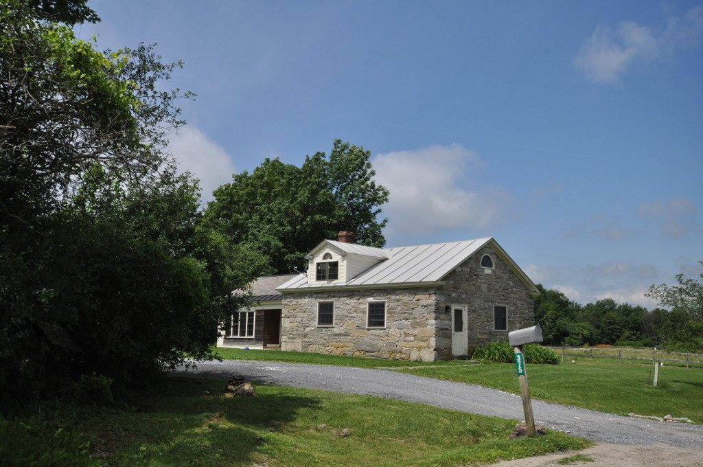


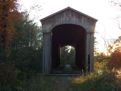
 2016
 2016
 2016
 2012
 2012
 2012
 2010
 2008
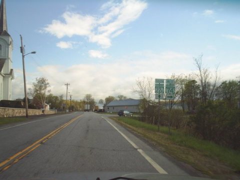 2005
 2005
 2004