Guest, Sign inJoin

Post to Pomfret

We’ll email a one-tap link to publish your post. No password, and nothing is public until you click it.
Already a member? Sign in
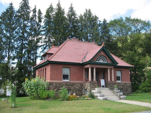
2006 library Pomfret Vermont 241047150
Vermont›Windsor County

PomfretVT

Home to 2 places on the National Register of Historic Places.

6 bordering townsMap →
Photo: Jared and Corin · CC BY-SA 2.0
Photo of Pomfret

Pomfret, VT · Photo: Jared and Corin · CC BY-SA 2.0 · Source ↗

Is Pomfret a good place to live?

Only 2 of the 72 Vermont towns we compare have a lower share of working residents who work in town than Pomfret. 24% of the land in Pomfret is conserved, above both Vermont’s towns (14%) and U.S. towns (4.3%). The biggest place to walk is Green Mountain National Forest, 1,421 acres with 12.4 miles of trail. Pomfret has fewer than 1,000 residents, too few for fair grades; the figures below are still real.

What makes Pomfret stand out

Where Pomfret beats most towns.

Small town

940 people, and everyone knows the way

In a town this size, neighbors are the best guide. Ask them anything.

Nearby towns
SharonWoodstockBarnardHartfordRoyaltonBridgewaterSharonWoodstockBarnardHartfordRoyaltonBridgewaterPomfret
Isaac M. Raymond Farm
Isaac M. Raymond Farm · National Register of Historic Places
Pomfret’s story

189 years in pictures

The archive holds 5 old photos and papers going back to 1850.

2 places on the National Register of Historic Places.

  • 1837Pomfret is settled
Explore the history →
Nearby attractions

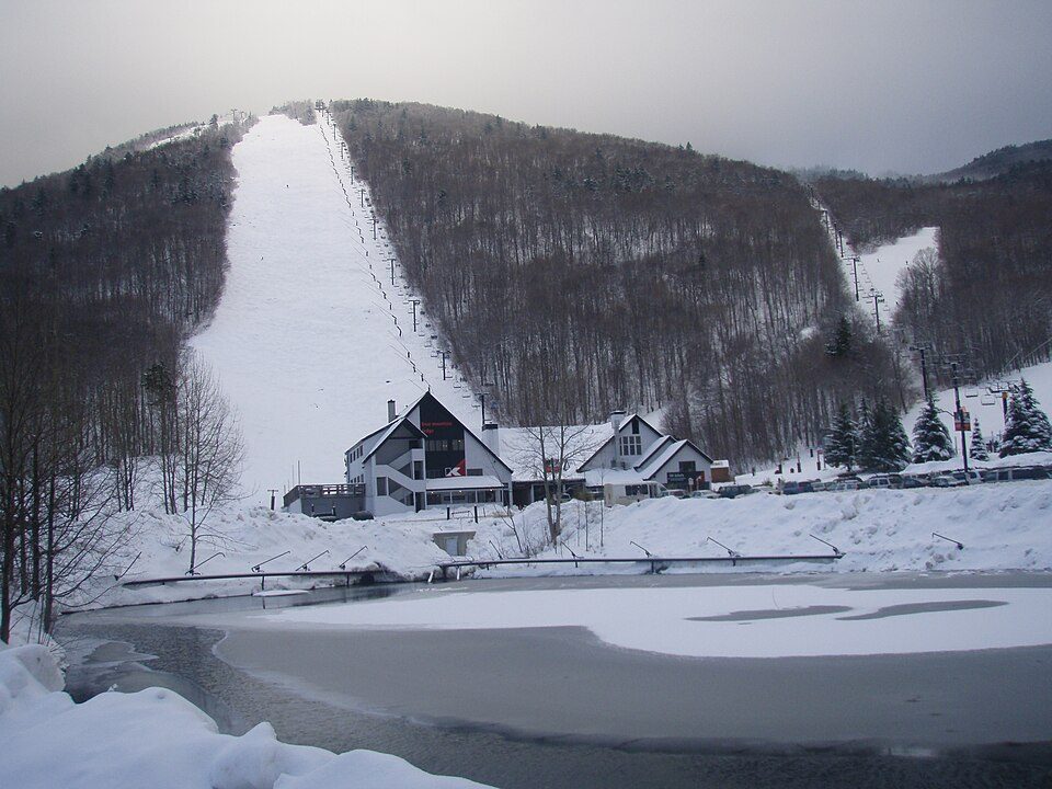
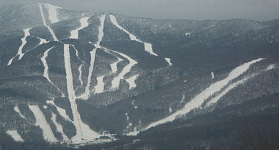
Killington Resort and 27 more within 40 miles

Museums, parks, gardens and other places to visit around Pomfret. Close and well known come first.

All 61 attractions →
Sources: National Park Service · ski areas © OpenSkiMap / OpenStreetMap contributors · Wikidata · Wikipedia readership · photos via Wikimedia Commons
Photo credits

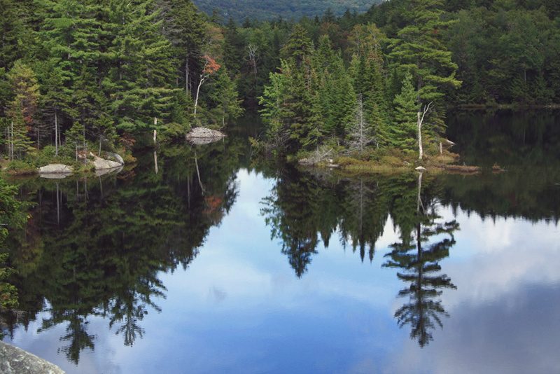
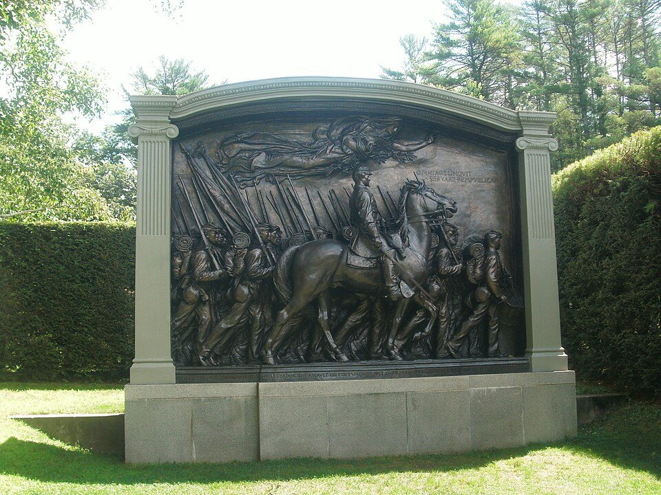
Killington Resort: NHRHS2010, CC BY-SA 3.0 · Saskadena Six: Jared C. Benedict, CC BY-SA 4.0 · Okemo Mountain: Jrclark (talk), CC BY-SA 3.0 · Sugarbush Resort: Mrtrek1701 at English Wikipedia, CC BY-SA 3.0 · Green Mountain National Forest: Brian W. Schaller, FAL · Saint-Gaudens National Historical Park: Ser Amantio di Nicolao, CC BY-SA 3.0

Getting set up

Moving to Pomfret: who provides what

Who provides power, water and the rest in Pomfret, and how to reach them.

The full setup list →
PowerGreen Mountain Power23.3¢/kWh · EIA 2025HIFLD · EIA
Internet4 providers98% of addresses get 100/20 MbpsFCC
Trash & dumpNot on file yetWe don’t have Pomfret’s trash rules yet
SchoolsMountain Views Unified Union School DistrictMountain Views Supervisory Union2 districts serve Pomfret; which school depends on your address and gradeNCES
Register to voteOnlineIn Vermont you can register online up to and including Election Day, in person up to and including Election Day, or by mail (received by Election Day).vote.gov
Who runs elections herePomfret Town ClerkThe town itself; contacts on the Handbook page.FVAP, Nov 2025
ZIP codes05053, 05067, 05091, 0506805053 32% · 05067 25% · 05091 24% · 05068 15%Census 2020

EPA SDWIS (Oct 9, 2026) · HIFLD + EIA-861 2025 · Census 2020 ZCTAs · NCES 2024–25 · registration: vote.gov, updated Aug 3, 2026.

The data

Ordered by what stands out in Pomfret.

Housing

Pomfret’s typical home value is about $689K

The typical Pomfret home is worth about $689,000, up 1.7% in a year, 76% above the Vermont typical home. 81% of Pomfret households own their home, against 75% in Vermont’s towns and 73% across U.S. towns.

$689KZillow home value
PomfretVermont townsU.S. towns
Households that own their home81%75%73%
Median rent$1,170 a month$1,135 a month$1,185 a month

Typical home value

Pomfret$689K
Vermont$392K
+1.7%
value change, 1 year

Census ACS, 2020–24 · Zillow Home Value Index · Redfin Data Center

Schools

The schools Pomfret’s kids attend

Its public schools are run by the Mountain Views Unified Union School District #76. Its one school is below.

SchoolLevelStudentsLetter
Prosper Valley SchoolLargest public middle schoolGrades 5–6Grades 5–690–

NCES · EDFacts

Outdoors

Conserved land covers 23.8% of Pomfret

38 miles of trail in 3 parks and preserves. The trail density in Pomfret is 1.0 miles per square mile.

23.8%conserved
23.8%
conserved · 5,992 of 25,145 acres
38 mi
of trails · 1 per sq mi
Biggest places to walkTrailsAcres
1. Green Mountain National Forest12.4 mi1,421
2. Amity Pond Natural Area2.4 mi200
3. White River Ledges Natural Area1.3 mi103

Trails & parks © OpenStreetMap contributors · Conserved land: USGS PAD-US

Climate

Pomfret has snowy winters and pleasant summers

Pomfret has cold, snowy winters and pleasant summers. Pomfret’s July high is 79°F.

76″snow a winter

Typical low → high °F

Winter12–31°
Spring30–53°
Summer53–77°
Fall36–57°
Oct 1
typical first frost
May 13
typical last frost
+1.8°
vs. the 20th-century average

NOAA U.S. Climate Normals, 1991–2020

Work & commute

Most working residents commute out of Pomfret

Most working residents leave Pomfret for work: only 4% work in town. Since 2013, Pomfret has added 169 jobs, to 340 in 2023. 5.8% of Pomfret residents live below the poverty line.

4%work in town
PomfretVermont townsU.S. towns
Below the poverty line5.8%9.5%9.6%
Average trip to work24 minutes23 minutes25 minutes

Where working residents work

In Pomfret4%
Lebanon12%
Hartford12%
Woodstock11%
Royalton8%
13 mi
median commute distance
340
jobs based in Pomfret
Balanced
jobs vs. working residents

Census LEHD 2023 · ACS

Health

How healthy Pomfret is

Pomfret beats the Vermont average on 11 of 31 CDC measures and trails it on 2. 9.7% of adults smoke cigarettes in Pomfret.

PomfretVermont townsU.S. towns
Smoke cigarettes (CDC PLACES)9.7%12%14%
Obesity (CDC PLACES)28%30%35%
Sleep under 7 hours (CDC PLACES)30%30%36%
Food insecurity (CDC PLACES)7%9.5%14%
31 measures vs. Vermont
11 better18 too close to call2 worse
What stands outPomfretVT
Fewer adults facing food insecurity7%9.2%
Fewer adults without reliable transportation4.9%6.4%
More adults who have had cancer12.5%9.9%
White River JCT VA Medical Center
6.8 mi away · emergency room
None
primary care, dental or mental-health shortage

CDC PLACES 2025 · modeled estimates for adults · CMS · HRSA

Natural hazards

Pomfret faces a moderate natural-hazard risk, led by inland flooding

Expected storm and flood damage is higher than in 58% of U.S. communities.

58risk score of 100
FEMA risk score
58Moderate riskLowerHigher
Inland flooding
7
federal disasters paid out here

FEMA National Risk Index · OpenFEMA

Keep exploring

Everything we know about Pomfret

19pages on Pomfret
After high school

Colleges nearby

2 within 15 miles of the center of Pomfret

Landmarks

2 places in Pomfret on the National Register of Historic Places.

All landmarks →

Famous people from Pomfret

7 notable people were born in Pomfret.

See all 7 →

About Pomfret

Town in Vermont, United States

Pomfret is a town in Windsor County, Vermont, United States. The population was 916 at the 2020 census.

From Wikipedia, licensed CC BY-SA 4.0 · facts via Wikidata (CC0)

Area
40 sq mi
Elevation
1,499 ft
ZIP code
05067
Area code
802

Questions about Pomfret

Short answers, built from the data on this page.

Is Pomfret, VT a good place to live?

Pomfret has fewer than 1,000 residents, too few for fair grades; the figures below are still real. Home to 2 places on the National Register of Historic Places.

What is Pomfret, VT known for?

7 notable people were born here, including Judah Dana and Dana Stone.