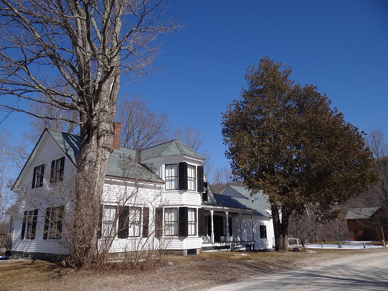
217 years in pictures
Census counts: 106 in 1790, a low of 106 in 1790, 641 in 2020. The archive holds 10 old photos and papers going back to 1840 and 3 maps from 1911 on.
3 places on the National Register of Historic Places.
- 1809Plymouth is settled
Each edition grades its towns against each other only.

Home to 3 places on the National Register of Historic Places.
Only 1 of the 72 Vermont towns we compare have a lower July high than Plymouth. 47% of the land in Plymouth is conserved, above both Vermont’s towns (14%) and U.S. towns (4.3%). The biggest place to walk is Coolidge State Forest, 6,556 acres with 19.6 miles of trail. Plymouth has fewer than 1,000 residents, too few for fair grades; the figures below are still real.
Where Plymouth beats most towns.
In a town this size, neighbors are the best guide. Ask them anything.
Census counts: 106 in 1790, a low of 106 in 1790, 641 in 2020. The archive holds 10 old photos and papers going back to 1840 and 3 maps from 1911 on.
3 places on the National Register of Historic Places.
Museums, parks, gardens and other places to visit around Plymouth. Close and well known come first.
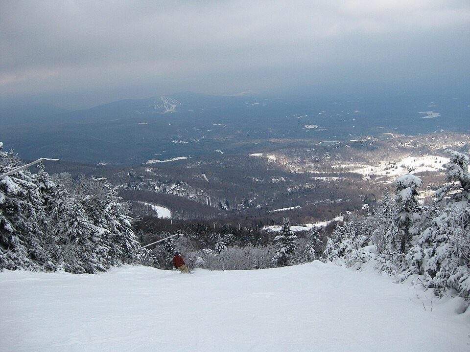
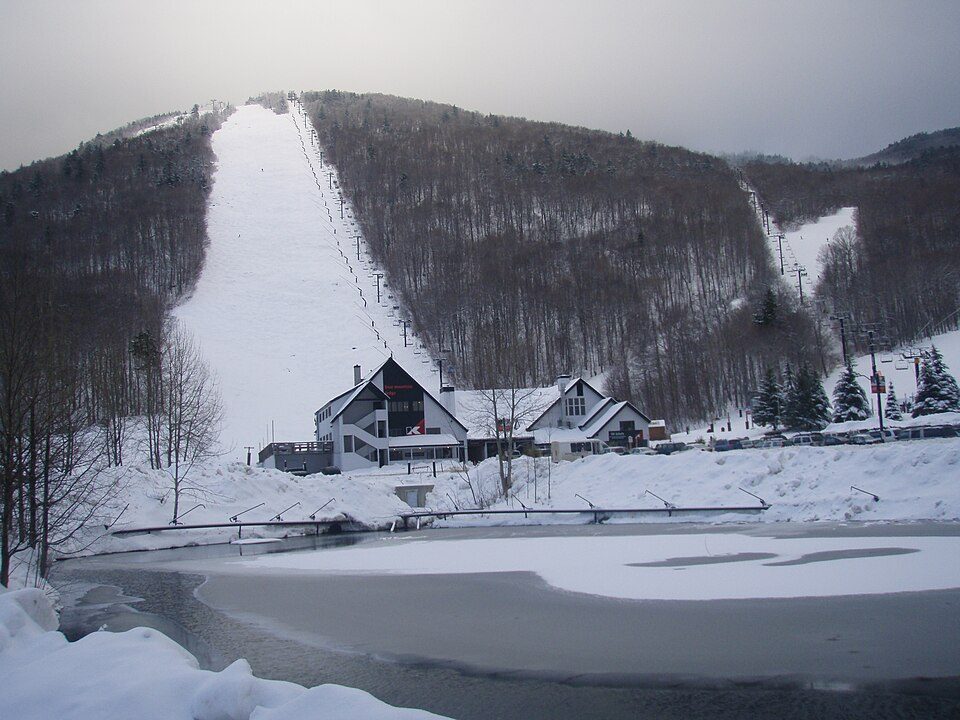
9 mi Ski areaKillington Resort184 runs · 3,031 ft vertical
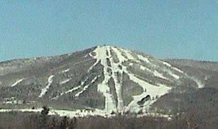
7 mi Ski areaOkemo Mountain119 runs · 2,165 ft vertical
30 mi Ski areaStratton Mountain Resort106 runs · 1,899 ft vertical
39 mi Ski areaMount Snow119 runs · 1,648 ft vertical
13 mi Ski areaPico Mountain Resort68 runs · 1,947 ft vertical
23 mi Ski areaBromley Mountain Ski Resort;Bromley Mountain67 runs · 1,297 ft verticalKillington Resort: NHRHS2010, CC BY-SA 3.0 · Okemo Mountain: Jrclark (talk), CC BY-SA 3.0 · Stratton Mountain Resort: Rudi Riet from Washington, DC, United States, CC BY-SA 2.0 · Mount Snow: William J Sisti from Morristown, NJ, USA, CC BY-SA 2.0 · Pico Mountain Resort: petersent, Public domain · Bromley Mountain Ski Resort;Bromley Mountain: Jrclark (talk), CC BY-SA 3.0
Who provides power, water and the rest in Plymouth, and how to reach them.
EPA SDWIS (Oct 9, 2026) · HIFLD + EIA-861 2025 · Census 2020 ZCTAs · NCES 2024–25 · registration: vote.gov, updated Aug 3, 2026.
Ordered by what stands out in Plymouth.
41 miles of trail in 5 parks and preserves. Plymouth’s trail density is 0.9 miles per square mile, above both the Vermont town median (0.6) and the median of U.S. towns (0.4).
| Biggest places to walk | Trails | Acres |
|---|---|---|
| 1. Coolidge State Forest | 19.6 mi | 6,556 |
| 2. Arthur Davis Wildlife Management Area | 4.5 mi | 2,409 |
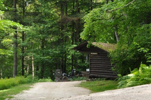
| 3. Camp Plymouth State Park | 1.3 mi | 308 |
Trails & parks © OpenStreetMap contributors · Conserved land: USGS PAD-US
Most working residents leave Plymouth for work: only 6% work in town. 2.8% of residents live below the poverty line in Plymouth. Jobs based in Plymouth grew to 194 in 2023, 33 more than in 2013.
| Plymouth | Vermont towns | U.S. towns | |
|---|---|---|---|
| Below the poverty line | 2.8% | 9.5% | 9.6% |
| Working residents who work in town | 6.3% | 16% | 8% |
| Work from home | 16% | 15% | 11% |
| Average trip to work | 23 minutes | 23 minutes | 25 minutes |
Census LEHD 2023 · ACS
Expected storm and flood damage is higher than in 68% of U.S. communities. Since 1981, 15 flood insurance claims have been paid out in Plymouth.
FEMA flood insurance claims · FEMA National Risk Index · OpenFEMA
Plymouth has cold, snowy winters and pleasant summers, with plenty of rain. The January low in Plymouth is 8°F.
NOAA U.S. Climate Normals, 1991–2020
The typical Plymouth home is worth about $466,000, up 2.7% in a year, 19% above the Vermont typical home.
| Plymouth | Vermont towns | U.S. towns | |
|---|---|---|---|
| Households that own their home | 78% | 75% | 73% |
| Median rent | $1,299 a month | $1,135 a month | $1,185 a month |
Zillow Home Value Index · Redfin Data Center
Plymouth beats the Vermont average on 6 of 31 CDC measures and trails it on 1. 30% of Plymouth adults sleep under 7 hours. Only 6 of the 72 Vermont towns we compare have a lower share of adults who binge drink than Plymouth.
| Plymouth | Vermont towns | U.S. towns | |
|---|---|---|---|
| Sleep under 7 hours (CDC PLACES) | 30% | 30% | 36% |
| Obesity (CDC PLACES) | 29% | 30% | 35% |
| Food insecurity (CDC PLACES) | 7.4% | 9.5% | 14% |
| Yearly checkup (CDC PLACES) | 75% | 76% | 79% |
| What stands out | Plymouth | VT |
|---|---|---|
| Fewer adults without reliable transportation | 5.1% | 6.4% |
| Fewer adults facing food insecurity | 7.4% | 9.2% |
| More adults who have had cancer | 11.5% | 9.9% |
CDC PLACES 2025 · modeled estimates for adults · CMS · HRSA
None within 15 miles of Plymouth; the nearest are
About 4 of every 100 Plymouth residents are enrolled in college, against 7 across Vermont.
47% of the town is conserved land, across 5 parks and preserves.
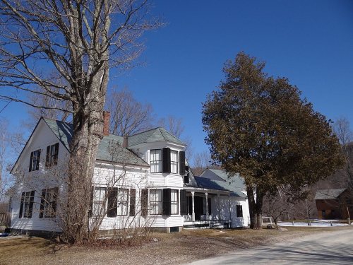
3 places in Plymouth on the National Register of Historic Places.
5 notable people were born in Plymouth.
Town in Vermont, United States
Plymouth is a town in Windsor County, Vermont, United States. The population was 641 at the 2020 census. Calvin Coolidge, the 30th president of the United States, was born and raised in Plymouth and is buried there in the Plymouth Notch cemetery. The State of Vermont Division for Historic Preservation owns and maintains the Coolidge Homestead and the village of Plymouth Notch.
From Wikipedia, licensed CC BY-SA 4.0 · facts via Wikidata (CC0)
Short answers, built from the data on this page.
Plymouth has fewer than 1,000 residents, too few for fair grades; the figures below are still real. Home to 3 places on the National Register of Historic Places.
5 notable people were born here, including William W. Stickney and John Calvin Coolidge, Sr..