Henry Covered Bridge
About Henry Covered Bridge
Henry Covered Bridge was added to the National Register of Historic Places on Aug 28, 1973. It was among the first 6 of Bennington’s 30 listings, with two others the same day. The Register lists it for its engineering and transportation, at the state level. The listing covers 1 acre.
PDFRead the original nominationThe form that put it on the Register, with its history, photos and a map · 104 MB · National Archives↗1840 to today
- 1840Built
- 1973Added to the National Register of Historic Places
- 2026On the Register for 53 years
Make it a walk: 2 landmarks in about 10 minutes
Northwest of Bennington off VT 67A, in Bennington, VT · about 0.3 miles on foot, as the crow flies
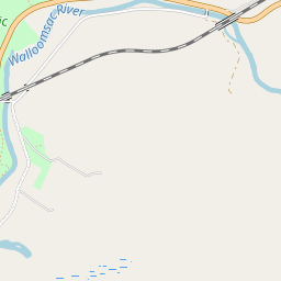


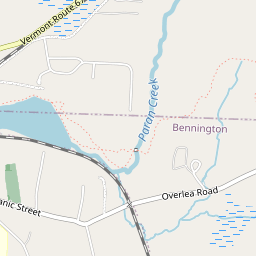



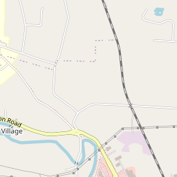


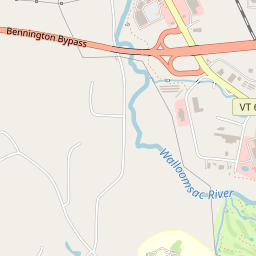

- 1Henry Covered BridgeStart here
- 2William Henry HouseGeorgian · 0.3 mi on
7 more Register listings within 2 miles
★ National Historic Landmark · D district · B building · S site. Each opens its own page.
Memories of Henry Covered Bridge
The record says what it is. Neighbors know what it means.
Your answer becomes a post in Town Square.
Questions about Henry Covered Bridge
Is Henry Covered Bridge on the National Register of Historic Places?
Yes. It was added on Aug 28, 1973 (Register number 73000187).
Is Henry Covered Bridge a National Historic Landmark?
No. It is on the National Register; Vermont has 19 National Historic Landmarks. The nearest is Bennington Battlefield, 3 miles away.
Can you visit Henry Covered Bridge?
Our record doesn’t say whether it is open to visitors. Many listed buildings are private, so it may only be seen from the street.
Where can I read the history of Henry Covered Bridge?
In its National Register nomination, the form that put it on the Register: a 104 MB PDF at the National Archives, linked on this page.
Sources: National Park Service, National Register of Historic Places (05/22/2026) · National Archives catalog record 84285041 · Wikidata. Map tiles © OpenStreetMap contributors.