Waterford dates to 1733, and 90% of its homes were built before 1940
1 place in town is on the National Register, among them the Waterford Historic District, a National Historic Landmark, and a historic district. Below: 8 old photos and papers and maps from 1944 on.
Waterford was established around 1733 by Amos Janney, a Quaker from Bucks County, Pennsylvania. Janney purchased 400 acres (1.6 km2) on the south fork of Catoctin Creek and established a grist mill and saw mill in the area in the 1740s. Due to the success of the mills, the settlement became known as "Janney's Mill." The town grew quickly as a center of commerce for growers of grain.
Nothing in the archives for these yearsWeddings on Main Street, storms, parades, school pictures, the old store. If it’s in your family album, it belongs here.
Founding dates: Wikidata, Wikipedia, the U.S. post office records of Blevins & Helbock (CC0) and the Census. Homes by year built: Census ACS 2020–24. National Register of Historic Places: National Park Service (list of May 22, 2026). Old photos, postcards and papers: Wikimedia Commons, the Library of Congress and other public archives, credited on each item’s page. Maps: U.S. Geological Survey historical topographic maps (via Esri) and Sanborn fire-insurance maps (Library of Congress). History text and census tables: Wikipedia (CC BY-SA 4.0). Places that used to be: USGS Geographic Names Information System (2021). How TownRatings grades history →
From Wikimedia Commons (17), the Library of Congress (1), the National Register of Historic Places (1), Wikipedia, Wikidata and Wikipedia for famous people, U.S. Geological Survey historical maps, the US Post Offices dataset (Blevins & Helbock) and the USGS Geographic Names Information System. Archive images are copied here with their credits and licenses, shown on each photo’s page. Refreshed monthly.


 ★ Landmark
 1933
 1933
 1933
 1933
 1933
 Date?
 2018
 2012
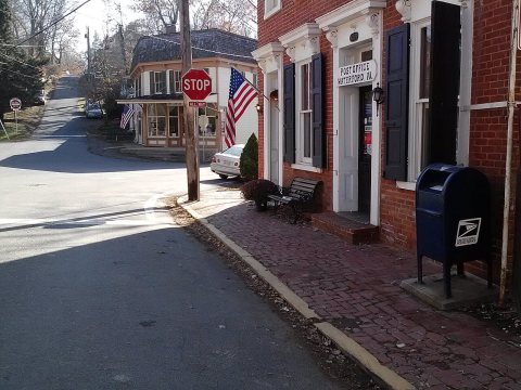 2012
 2012
 2012
 2012
 2012
 2012
 2008
 2008


