
Mt. Torry Furnace · National Register of Historic Places
Sherando’s story
173 years in pictures
The archive holds 3 maps from 1943 on.
1 place on the National Register of Historic Places.
- 1853Sherando is settled
Each edition grades its towns against each other only.
A town of 281, settled in 1853.
8.9% of adults 25 and older hold a bachelor’s degree or more in Sherando, where Virginia’s towns sit at 44% and U.S. towns at 29%. Only 10 of the 254 Virginia towns we compare have a lower July high than Sherando. 43% of the land in Sherando is conserved, above both the Virginia town median (4.7%) and the median of U.S. towns (4.3%). The biggest place to walk is George Washington National Forest, 4,137 acres with 8 miles of trail. Sherando has fewer than 1,000 residents, too few for fair grades; the figures below are still real.
In a town this size, neighbors are the best guide. Ask them anything.
The archive holds 3 maps from 1943 on.
1 place on the National Register of Historic Places.
Museums, parks, gardens and other places to visit around Sherando. Close and well known come first.
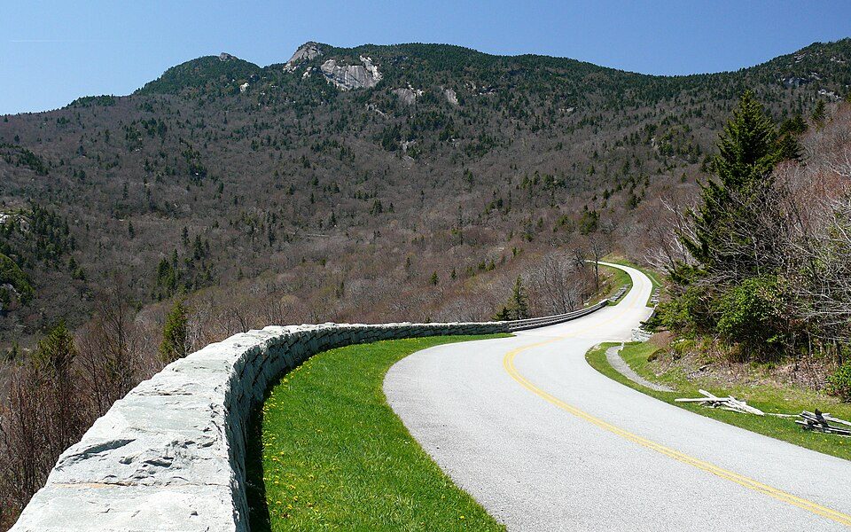 2 mi ParkwayBlue Ridge Parkway16.5M visitors a year
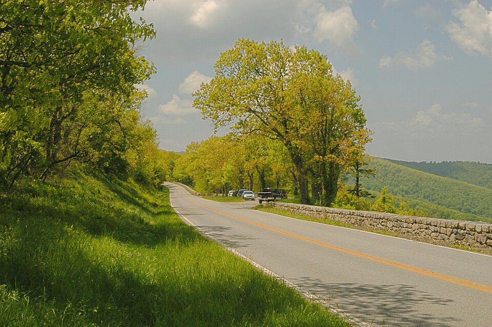 5 mi National ParkShenandoah National Park1.7M visitors a year
 24 mi Stadium & arenaScott Stadium
 24 mi Stadium & arenaJohn Paul Jones Arena
 35 mi National forestGeorge Washington and Jefferson National Forests
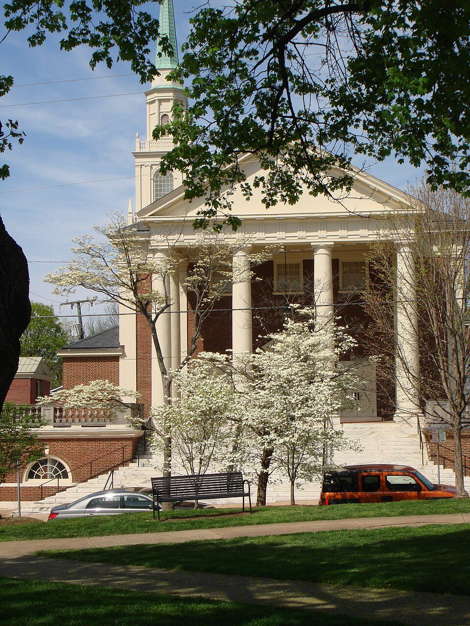 25 mi GardenMarket Street Park
Blue Ridge Parkway: Ken Thomas, Public domain · Shenandoah National Park: Image copyright 2005 by user G. Edward Johnson (user Lorax) and released under t, CC BY-SA 3.0 · Scott Stadium: Mak7912, CC BY-SA 3.0 · John Paul Jones Arena: Bob Mical, CC BY 2.0 · George Washington and Jefferson National Forests: Aneta Kaluzna, CC BY-SA 2.5 · Market Street Park: Chad Fennell, CC BY 2.0
Sherando is unincorporated, so Augusta County and regional agencies provide most services.
EPA SDWIS (Oct 9, 2026) · HIFLD + EIA-861 2025 · Census 2020 ZCTAs · NCES 2024–25 · registration: vote.gov, updated Sep 30, 2026.
Ordered by what stands out in Sherando.
8.2 miles of trail in 1 park or preserve. Sherando’s trail density is 1.2 miles per square mile.
| Biggest places to walk | Trails | Acres |
|---|---|---|
| 1. George Washington National Forest | 8 mi | 4,137 |
Trails & parks © OpenStreetMap contributors · Conserved land: USGS PAD-US
Most working residents leave Sherando for work: only 1% work in town. Since 2013, Sherando has lost 71 jobs, to 19 in 2023. The top destinations are Waynesboro (19%), Stuarts Draft (9%) and Verona (7%).
| Sherando | Virginia towns | U.S. towns | |
|---|---|---|---|
| Working residents who work in town | 0.9% | 4.9% | 8% |
| Average trip to work | 24 minutes | 27 minutes | 25 minutes |
Census LEHD 2023 · ACS
The FEMA risk score in Sherando is 75 of 100.
FEMA National Risk Index · OpenFEMA
Sherando has chilly winters and pleasant summers. July afternoons reach 83°, January nights drop to 24° and about 22 inches of snow falls in a winter.
NOAA U.S. Climate Normals, 1991–2020
Sherando beats the Virginia average on 7 of 32 CDC measures and trails it on 3. 39% of Sherando adults have obesity.
| Sherando | Virginia towns | U.S. towns | |
|---|---|---|---|
| Obesity (CDC PLACES) | 39% | 34% | 35% |
| Depression (CDC PLACES) | 25% | 22% | 23% |
| High blood pressure (CDC PLACES) | 37% | 33% | 35% |
| Binge drink (CDC PLACES) | 14% | 14% | 16% |
| What stands out | Sherando | VA |
|---|---|---|
| Fewer older adults who have lost all their teeth | 7.7% | 11.1% |
| Fewer adults facing a utility shut-off | 5% | 7.1% |
| More adults who have had cancer | 10.1% | 7.7% |
CDC PLACES 2025 · modeled estimates for adults · CMS · HRSA
89% of households own their home in Sherando.
Census ACS, 2020–24 · Zillow Home Value Index · Redfin Data Center
1 within 15 miles of the center of Sherando
About 0 of every 100 Sherando residents are enrolled in college, against 7 across Virginia.
Where Sherando’s working residents go each day. Line width shows the share.
Census LEHD 2023
CDP in Virginia, United States
Sherando is a census-designated place (CDP) in Augusta County, Virginia, United States. As of the 2020 census, Sherando had a population of 696. It is part of the Staunton–Waynesboro Micropolitan Statistical Area.
From Wikipedia, licensed CC BY-SA 4.0 · facts via Wikidata (CC0)
Short answers, built from the data on this page.
Sherando has fewer than 1,000 residents, too few for fair grades; the figures below are still real.


