Round Hill’s post office opened in 1858, and 30% of its homes were built before 1940
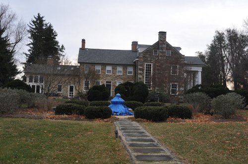
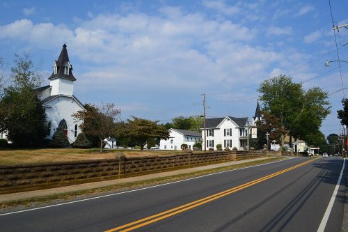
2 places in town are on the National Register, among them a historic district with 204 buildings. Below: 5 old photos and papers, maps from 1944 on, and the census since 1890.
Round Hill was incorporated on February 5, 1900. From 1874 to 1900, the settlement had been the terminus of a Washington and Ohio rail line that ultimately became the Washington and Old Dominion Railroad. The railway allowed agricultural products to be brought into Washington, D.C., and allowed the residents of the District to escape to the surrounding countryside for holidays. Many of the town's older residences were originally boarding houses, inns, and taverns where people would go upon arrival. The town was considered a convenient destination as it lies close to the Shenandoah River (7 miles/11.3 km distant), the Shenandoah National Park (30 miles/48 km), the Appalachian Trail (4 miles/6.4 km), Harpers Ferry (15 miles/24 km), the Chesapeake and Ohio Canal National Historic Park (12 miles/19 km), and the paved Washington & Old Dominion Railroad Trail (3 miles/4.8 km).
Nothing in the archives for these yearsWeddings on Main Street, storms, parades, school pictures, the old store. If it’s in your family album, it belongs here.
Founding dates: Wikidata, Wikipedia, the U.S. post office records of Blevins & Helbock (CC0) and the Census. Homes by year built: Census ACS 2020–24. National Register of Historic Places: National Park Service (list of May 22, 2026). Old photos, postcards and papers: Wikimedia Commons, the Library of Congress and other public archives, credited on each item’s page. Maps: U.S. Geological Survey historical topographic maps (via Esri) and Sanborn fire-insurance maps (Library of Congress). History text and census tables: Wikipedia (CC BY-SA 4.0). Places that used to be: USGS Geographic Names Information System (2021). How TownRatings grades history →
From Wikimedia Commons (6), the Library of Congress (5), the National Register of Historic Places (2), Wikipedia, U.S. Geological Survey historical maps, U.S. Census counts (via Wikipedia), the US Post Offices dataset (Blevins & Helbock) and the USGS Geographic Names Information System. Archive images are copied here with their credits and licenses, shown on each photo’s page. Refreshed monthly.




 1920
 1920
 1920
 1920
 2022
 2013
 2012
 2008
 2008
 2007


