Petersburg dates to 1748, and 17% of its homes were built before 1940
More historic than 96% of U.S. towns · #7 of 253 in Virginia. What drives it
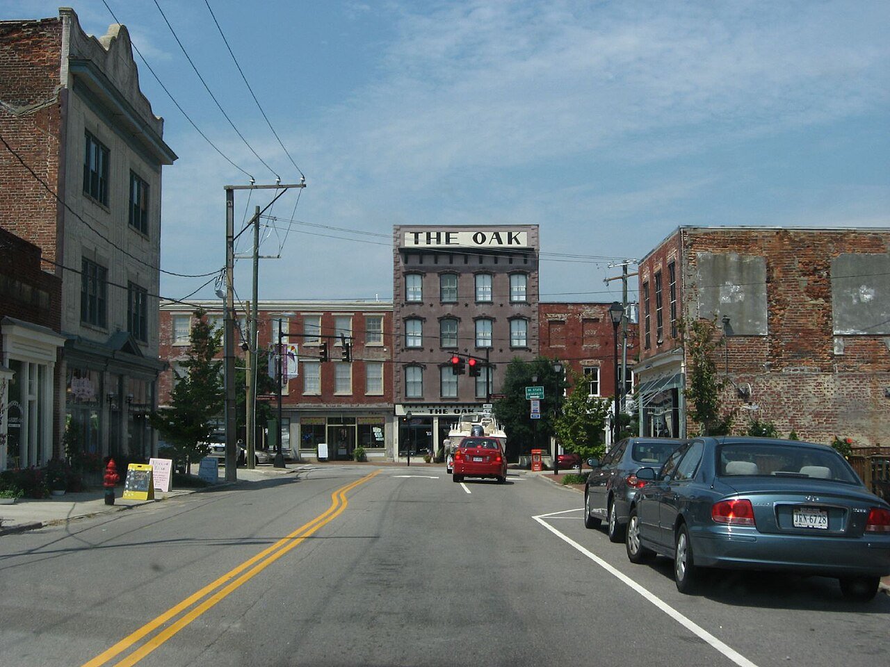
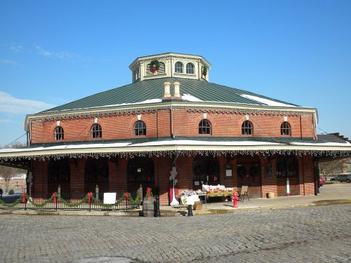
49 places in town are on the National Register, among them 2 National Historic Landmarks and ten historic districts with 1,972 buildings between them. Below: 3 old photos and papers, maps from 1885 on, and the census since 1790.
On its age, its old homes and the National Register, Petersburg is more historic than 96% of U.S. towns, #7 of 253 in Virginia. All 3 inputs are above most U.S. towns; its age ranks highest and its share of homes from before 1940 lowest.
A+
HistoryA character grade: shown, never part of Petersburg’s overall grade.
Virginia towns list more on the Register than most of the country (a typical Virginia town has 3.6 per 10,000 residents, the U.S. 2.4), so Petersburg’s 655 sits above most of its state (93% of Virginia towns have fewer) while its 2,195 historic buildings outnumber those of 99% of U.S. towns.
NoteThe founding year comes from Wikidata alone; no second source gives 1748.
How sure. Graded on any two of the three inputs instead, the letter would range from A to A+. The pre-1940 share (±2.1 points) is firm at this size.
Founding year: Wikidata (other dates in Quick answers). Homes: Census ACS 2020–24. National Register: National Park Service, May 2026 list; each listing counted once (boundary changes and added documentation belong to their listing), and a historic district counts its contributing buildings. How TownRatings grades history →
What stands out about Petersburg’s past
Read from the archive, the National Register and the record. The page puts what stands out first.
The country’s official list of buildings and places worth saving. 2 are National Historic Landmarks, the highest tier. Boundary changes and added documentation are counted with their listing.
National Park Service, National Register of Historic Places. Photos from Wikimedia Commons, credited on each place’s page.
Places that used to be
Old corners, places now gone and burying grounds
Old hamlets and crossroads still carry their names on the map.
Hamlets and corners on the map
BatterseaBattlefield ParkBerkeley ManorBlandfordBurnsideCamelotCountry Aire Mobile Home ParkDunedinGreenwood FarmsHeightsHickory Hill Mobile Home ParkKennelworthLakemontLakewoodOakhurstParkviewPembrokePine GardensPocahontasRamblewoodSpring Garden Mobile Home ParkWalnut HillWalnut Hill GardensWestbourne
Archaeological excavations at Pocahontas Island found evidence of a prehistoric Native American settlement dated to 6,500 BCE, the early third of the Archaic Period (8,000 to 1,000 BCE). Succeeding cultures of indigenous peoples lived in the area for thousands of years before European exploration and colonization.
When the English arrived in Virginia in 1607, the region was occupied by the Appamatuck, a significant tribe of the Powhatan Confederacy. They were governed by a weroance, King Coquonosum, and by his sister, Queen Oppussoquionuske. This Algonquian-speaking people later had a town at Rohoic Creek (formerly known as Rohowick or Indian Towne Run). Present-day Petersburg developed to the east.
Passages that mention Petersburg, cut from the printed page as they were published.
Historical and industrial guide to Petersburg, Virginia1884 · page 81Read the page →
Read the text
In the year 1824 the General Assembly passed an Act providing for the incorporation of the "Lower Appomattox Company," a company which still exists, the city of Petersburg being the sole owner of all the stock under an Act of Assembly passed in 1S51, This Company was only required to obtain a depth sufficient for the navigation of vessels drawing six feet of water to entitle the Company to collect tolls. Organizing at once, the Company called to its service as engineer a foreigner, Mr. Albert Stein, to whom we have referred, and under his direction was done the first sys-
Text read by machine from the scan; it may contain errors.
Historical and industrial guide to Petersburg, Virginia1884 · page 64Read the page →
Read the text
In December, 1865, the Petersburg Iron Works Company was incorporated ; in 1866 the Commercial Insurance and Savings Bank of Petersburg was chartered. In 1870 the City was authorized to issue bonds in the sum of $300,000, at a rate of interest not exceeding 12 per cent, for municipal purposes. In July of the same year, the Petersburg and Richmond Steamboat Company w?s chartered.
Text read by machine from the scan; it may contain errors.
Scans and text from the Internet Archive. Books published in 1930 or earlier, which are in the public domain.
Timeline
Petersburg, 1748 to 2006
Woven from the archive, old maps, post office records, the National Register and the people born here.
Every edition of the U.S. Geological Survey’s map of Petersburg. Tap a year, or press play to watch the town change.
1894Petersburg sheet · 1:62,500
U.S. Geological Survey historical topographic maps (public domain), via Esri’s collection of the scans. The red ring marks the center of Petersburg.
Every building
Petersburg, building by building, 1885–1915
Fire insurance maps drew every building, what it was made of and what it was used for, so insurers could price the risk of fire. Pick a year, then a sheet.
In 1748, according to Wikidata. the first U.S. census counted 2,828 people here in 1790.
How does Petersburg rank for history?
Petersburg is more historic than 96% of U.S. towns, #7 of 253 in Virginia. The History grade combines the town’s founding era, the share of homes built before 1940 and its National Register listings. It’s a character grade, so it isn’t part of the overall grade. How it works.
What is on the National Register in Petersburg?
49 listings, 2 of them National Historic Landmarks: 32 buildings, among them the Exchange Building (a National Historic Landmark since 1971), 15 historic districts with 1,972 contributing buildings, and 2 sites. 2,195 historic buildings in all.
How old are the homes in Petersburg?
17% of Petersburg’s homes were built before 1940 (Census estimate, ±2.1 points), against a typical 1.9% for a Virginia town; the median home was built in 1970.
Founding dates: Wikidata, Wikipedia, the U.S. post office records of Blevins & Helbock (CC0) and the Census. Homes by year built: Census ACS 2020–24. National Register of Historic Places: National Park Service (list of May 22, 2026). Old photos, postcards and papers: Wikimedia Commons, the Library of Congress and other public archives, credited on each item’s page. Maps: U.S. Geological Survey historical topographic maps (via Esri) and Sanborn fire-insurance maps (Library of Congress). History text and census tables: Wikipedia (CC BY-SA 4.0). Places that used to be: USGS Geographic Names Information System (2021).
From Wikimedia Commons (3), Wikidata (3), the National Register of Historic Places (49), Wikipedia, Wikidata and Wikipedia for famous people, U.S. Geological Survey historical maps, U.S. Census counts (via Wikipedia), the USGS Geographic Names Information System, Sanborn fire insurance maps (Library of Congress) and old county and town histories (Internet Archive). Archive images are copied here with their credits and licenses, shown on each photo’s page. Refreshed monthly.


 ★ Landmark
 ★ Landmark



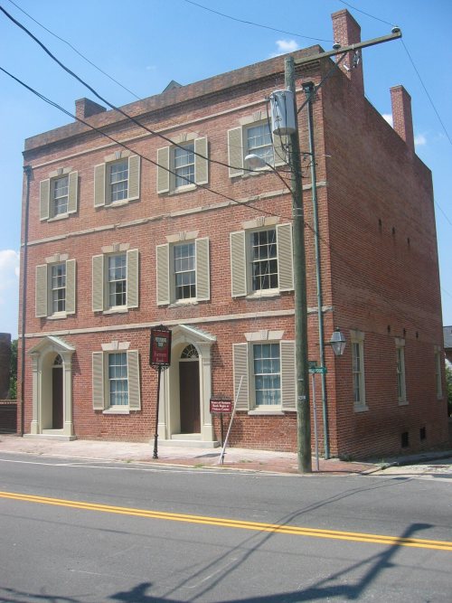


 c. 1860
 1861


