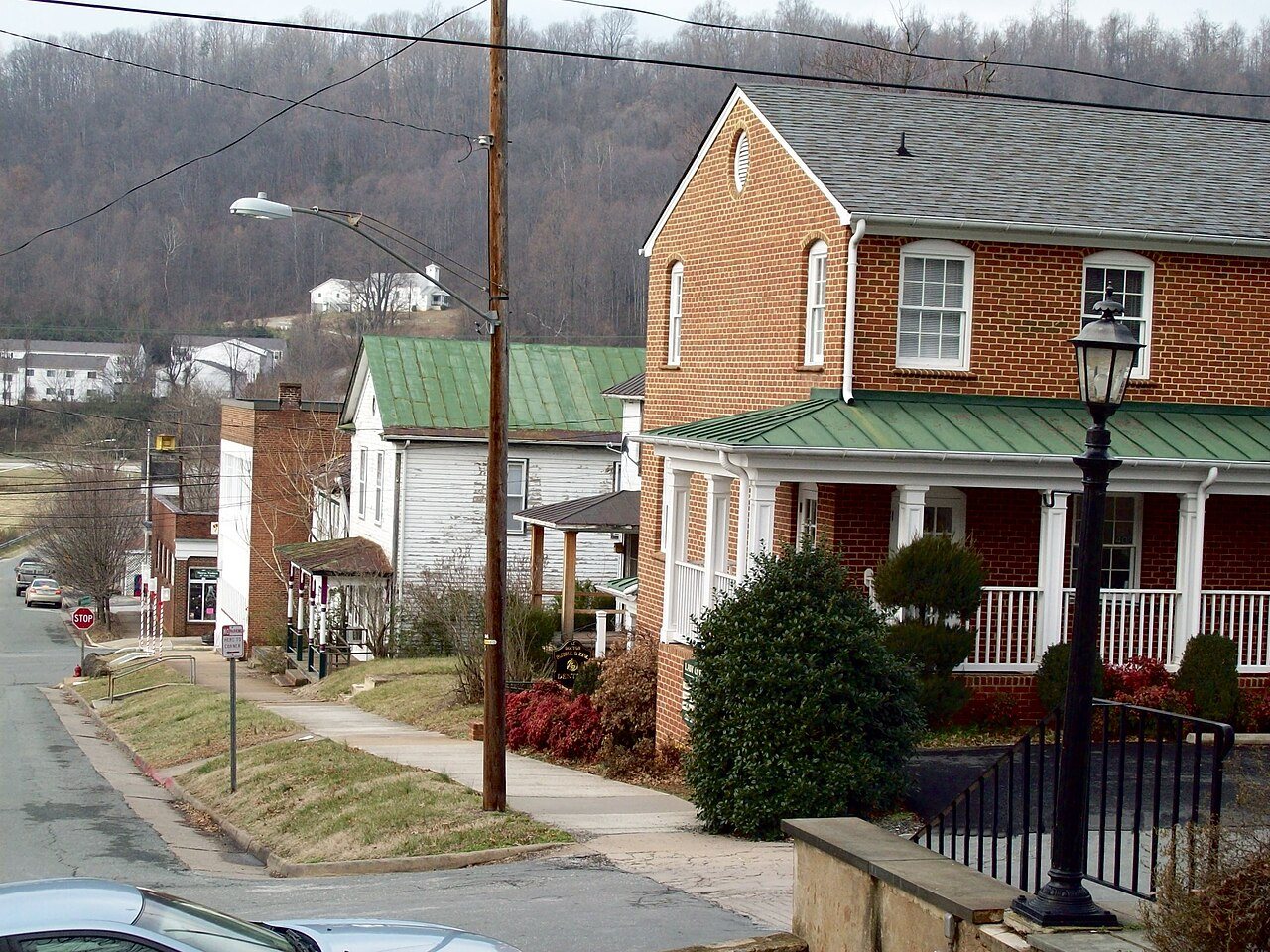
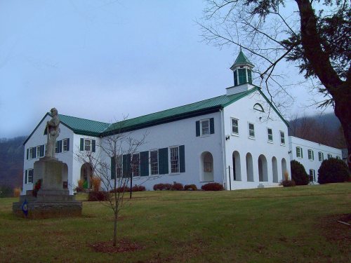
The town was formed in 1807 and has been the county seat of Nelson County since 1809 when the courthouse was built in the center of town. The original 30-acre parcel of land on which the town sits was given by the Loving family, a very influential family over the years of the town's history. The town is dominated by the courthouse in the center of town with a grid pattern of streets surrounding it. Front, Second, and Spring streets (which are now Route 29) run in a north–south direction, while Main and Pleasant streets run in an east–west direction. The layout of the town was designed by George W. Varnum and the original design is still present today with very few alterations.
Founding dates: Wikidata, Wikipedia, the U.S. post office records of Blevins & Helbock (CC0) and the Census. Homes by year built: Census ACS 2020–24. National Register of Historic Places: National Park Service (list of May 22, 2026). Old photos, postcards and papers: Wikimedia Commons, the Library of Congress and other public archives, credited on each item’s page. Maps: U.S. Geological Survey historical topographic maps (via Esri) and Sanborn fire-insurance maps (Library of Congress). History text and census tables: Wikipedia (CC BY-SA 4.0). Places that used to be: USGS Geographic Names Information System (2021). How TownRatings grades history →
From Wikimedia Commons (6), the National Register of Historic Places (3), Wikipedia, Wikidata and Wikipedia for famous people, the US Post Offices dataset (Blevins & Helbock) and the USGS Geographic Names Information System. Archive images are copied here with their credits and licenses, shown on each photo’s page. Refreshed monthly.




 2016
 2009
 2008
 2008
 2008
 2008