116 years in pictures
Census counts: 17,786 in 2000, 20,072 in 2020. The archive holds 24 old photos and papers going back to 1861 and 7 maps from 1913 on.
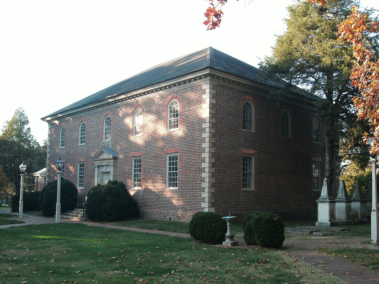
2 places on the National Register of Historic Places.
- 1910Lorton is settled
Each edition grades its towns against each other only.

Home to 20,991 people, the town was settled in 1910.
Much to like here, and you pay for it. Its strongest is walkability (A): it is more walkable than 95% of U.S. towns. At B+ overall, Lorton is better than 74% of U.S. towns and ranks 116th of 249 in Virginia. Health is another plus: it is healthier than 82% of U.S. towns. The drawback is cost of living (D): the typical home is worth about $647K, 5.1 years of the Washington metro’s $127K median household income. This Virginia town has 2 places on the National Register. Laurel Hill Park, at 54 acres with 1.8 miles of trail, is the biggest park or preserve. The town’s going rate for rent is $2,548 a month, where Virginia’s towns sit at $1,760 a month and U.S. towns at $1,185 a month.
Figures: health, CDC PLACES · home values, Zillow · incomes, Census ACS, 2020–24 · National Register of Historic Places · OpenStreetMap.
Where Lorton beats most towns.
Where Lorton’s working residents go each day. Line width shows the share.
Census LEHD 2023
Each subject compared with towns across the country (schools within Virginia), ordered by how far Lorton is from typical.
How TownRatings grades towns →
Census counts: 17,786 in 2000, 20,072 in 2020. The archive holds 24 old photos and papers going back to 1861 and 7 maps from 1913 on.
2 places on the National Register of Historic Places.
Museums, parks, gardens and other places to visit around Lorton. Close and well known come first.
Big draw17 mi National park siteWhite House311K visitors a year
Big draw16 mi National MemorialWashington Monument204K visitors a year
Big draw15 mi LandmarkArlington National Cemetery
Big draw15 mi LandmarkUnited States Triumphal Arch
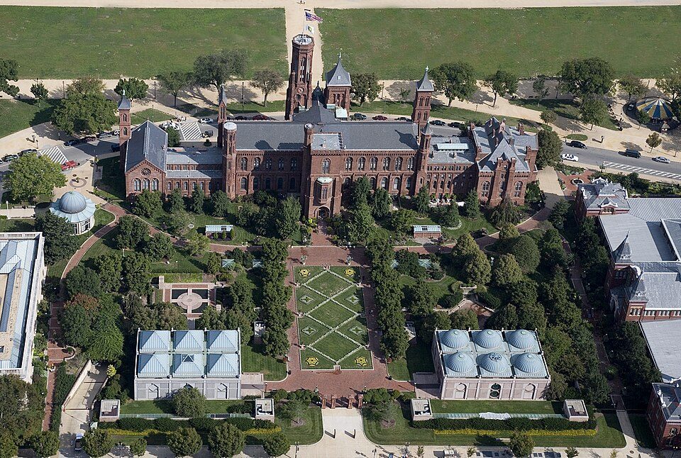
Big draw17 mi MuseumSmithsonian Institution30.0M visitors a year
Big draw16 mi National MemorialLincoln Memorial7.7M visitors a yearWhite House: This image or media was taken or created by Matt H. Wade. To see his entire port, CC BY-SA 3.0 · Washington Monument: Oren Rozen, CC BY-SA 4.0 · Arlington National Cemetery: Protoant, Public domain · United States Triumphal Arch: Hstoops, CC0 · Smithsonian Institution: Highsmith, Carol M., 1946-, photographer, Public domain · Lincoln Memorial: Aerial_view_of_Lincoln_Memorial_-_east_side.jpg: Carol M. Highsmith derivative w, Public domain
Lorton is unincorporated, so Fairfax County and regional agencies provide most services.
EPA SDWIS (Oct 9, 2026) · HIFLD + EIA-861 2025 · Census 2020 ZCTAs · NCES 2024–25 · registration: vote.gov, updated Sep 30, 2026.
Ordered by what stands out in Lorton.
Lorton carries more natural-hazard risk than most of Virginia (mostly inland flooding), but it scores below Mason Neck and its other neighbors on health and has property taxes about twice the Virginia norm.
The median property tax bill is $6,119, against $2,790 across Virginia, another input to its cost-of-living grade.
Lorton: 64% of households own their home. Zillow values the typical Lorton home at about $647,000, up 1.1% in a year, 57% above the Virginia typical home. A home in Lorton typically sold within 32 days of listing.
| Lorton | Virginia towns | U.S. towns | |
|---|---|---|---|
| Median rent | $2,548 a month | $1,760 a month | $1,185 a month |
| Households that own their home | 64% | 68% | 73% |
Census ACS, 2020–24 · Zillow Home Value Index · Redfin Data Center
Its one school is below. Public schools: the Fairfax County Public Schools. Enrollment at Lorton’s public school: 745 students.
| School | Level | Students | Letter |
|---|---|---|---|
| Lorton Station ElementaryLargest public elementary schoolGrades PK–6 | Grades PK–6 | 745 | C+ |
NCES · EDFacts · graded within VA on state tests and graduation
All 3 graded neighbors score healthier than that grade, from Mason Neck (A) to Laurel Hill (A+). Against the 3,686 U.S. towns with household incomes like Lorton’s, it is less healthy than 59%: its national edge comes with its incomes.
Among adults in Lorton, 28% have obesity. The town does better than the Virginia average on 11 of 32 CDC measures and worse on 1.
| Lorton | Virginia towns | U.S. towns | |
|---|---|---|---|
| Depression (CDC PLACES) | 18% | 22% | 23% |
| Binge drink (CDC PLACES) | 13% | 14% | 16% |
| Obesity (CDC PLACES) | 28% | 34% | 35% |
| Frequent mental distress (CDC PLACES) | 14% | 16% | 17% |
| What stands out | Lorton | VA |
|---|---|---|
| Fewer older adults who have lost all their teeth | 7.7% | 11.1% |
| Fewer adults with COPD | 4.5% | 6.2% |
| Fewer adults screened for colon cancer | 62.8% | 67.4% |
CDC PLACES 2025 · modeled estimates for adults · CMS · HRSA
There are 3.9 miles of trail across 10 parks and preserves. The density of trails in Lorton is 0.7 miles per square mile.
| Lorton | Virginia towns | U.S. towns | |
|---|---|---|---|
| Miles of trail per square mile | 0.7 miles per square mile | 0.7 | 0.4 |
| Conserved land | 5.2% | 4.6% | 4.3% |
| Biggest places to walk | Trails | Acres |
|---|---|---|
| 1. Laurel Hill Park | 1.8 mi | 54 |
| 2. Lower Potomac Park | — | 27 |
| 3. Mason Neck West Park | 0.1 mi | 26 |
Trails & parks © OpenStreetMap contributors · Conserved land: USGS PAD-US
For working residents in Lorton, the share who work locally is 2.5%. Jobs in Lorton grew by 660 from 2013 to 2023, reaching 5,326. The town’s middle household income stands at $139,000. The top destinations are Washington (13%), Springfield (9%) and Arlington (8%).
| Lorton | Virginia towns | U.S. towns | |
|---|---|---|---|
| Median household income | $139,000 | $101,000 | $80,000 |
| Average trip to work | 31 minutes | 27 minutes | 25 minutes |
| Working residents who work in town | 2.5% | 5% | 8% |
| Below the poverty line | 7.4% | 7.7% | 9.6% |
Census LEHD 2023 · ACS
Expect July afternoons of 88° and January nights of 27°, with about 13 inches of snow a winter.
NOAA U.S. Climate Normals, 1991–2020
FEMA rates its natural-hazard risk higher than 90% of Virginia towns, with expected losses of about $150 per resident a year; that rating is what its B− for hazard risk is built on.
In Lorton, the FEMA hazard score is 54 of 100. 81% of the town’s expected losses from natural hazards come from inland flooding. Federal disaster aid has reached households in Lorton once, in 2003.
FEMA disaster declarations and aid · FEMA National Risk Index · OpenFEMA
10 within 15 miles of the center of Lorton
About 8 of every 100 Lorton residents are enrolled in college, about the same as Virginia.
2 places in Lorton on the National Register of Historic Places.
Census-designated place in Virginia, United States
Lorton is a census-designated place (CDP) in Fairfax County, Virginia, United States. The population was 20,072 as of the 2020 census.
From Wikipedia, licensed CC BY-SA 4.0 · facts via Wikidata (CC0)
3 towns share a border with Lorton.
| Town | VA rank | Overall | Cost | Safety | Schools | Health |
|---|---|---|---|---|---|---|
| Lorton | #116 | B+ | D | — | B+ | A− |
| Newington | #21 | A+ | C− | — | B+ | A |
| Laurel Hill | #65 | A | D | — | B+ | A+ |
| Mason Neck | — | — | D | — | B+ | A |
Mason Neck has fewer than 2,500 residents, so it gets subject grades but no overall grade. Lorton, Newington, Laurel Hill and Mason Neck report no FBI crime data of their own. Compare Lorton with a neighbor →
Short answers, built from the data on this page.
For most people who can afford it, yes. Lorton grades B+ overall, better than 74% of U.S. towns and #116 of 249 in Virginia. It grades A− for health and B+ for schools. Cost of living is its weak spot, with a D.
Yes. Cost of living, which also weighs rents, property taxes and how many households pay 30% or more of their income for housing, grades D.