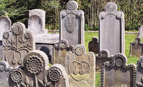
2 of Fort Chiswell’s places are on the National Register
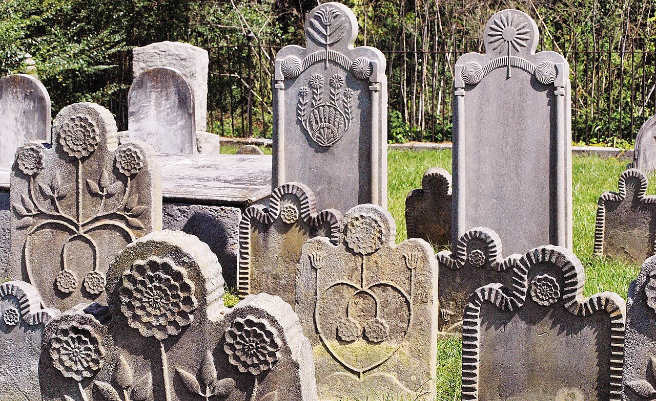
Its Register listings are the Fort Chiswell Mansion and the McGavock Family Cemetery. Most of Fort Chiswell was built recently: 0.0% of its homes predate 1940 and the median home dates from 1990. Below: maps from 1930 on.
The community name is derived from a frontier fort built in 1758 by William Byrd III as an outpost during the French and Indian War. The fort was named after Byrd's business partner Colonel John Chiswell, a prominent businessman with whom he owned and operated lead mines in the area. The fort, which was of strategic importance during the American Revolution as the guardpost over a small deposit of lead used to mold bullets, was situated at the junction of the Great Trading Path and the Richmond Road, near the New River. The fort fell into disrepair in the 18th century as both the county seat and courthouse were moved from Fort Chiswell to the county seat of Wytheville, 12 miles to the west. The remaining foundations of the Fort and its surrounding buildings were completely covered over during the construction of I-77 in Wythe County during the 1970s. There is a pyramid shaped historica…
Every edition of the U.S. Geological Survey’s map of Fort Chiswell. Tap a year, or press play to watch the town change.
1930Max Meadows sheet · 1:62,500
U.S. Geological Survey historical topographic maps (public domain), via Esri’s collection of the scans. The red ring marks the center of Fort Chiswell.
On the National Register
2 historic places in Fort Chiswell
The country’s official list of buildings and places worth saving.
Founding dates: Wikidata, Wikipedia, the U.S. post office records of Blevins & Helbock (CC0) and the Census. Homes by year built: Census ACS 2020–24. National Register of Historic Places: National Park Service (list of May 22, 2026). Old photos, postcards and papers: Wikimedia Commons, the Library of Congress and other public archives, credited on each item’s page. Maps: U.S. Geological Survey historical topographic maps (via Esri) and Sanborn fire-insurance maps (Library of Congress). History text and census tables: Wikipedia (CC BY-SA 4.0). Places that used to be: USGS Geographic Names Information System (2021). How TownRatings grades history →
From Wikimedia Commons (11), the National Register of Historic Places (2), Wikipedia, U.S. Geological Survey historical maps and the USGS Geographic Names Information System. Archive images are copied here with their credits and licenses, shown on each photo’s page. Refreshed monthly.

 2017
 2017
 2015
 2014
 2011
 2011
 2011
 2008
 2008
 2005
 2005