Eastville dates to 1773, and 34% of its homes were built before 1940
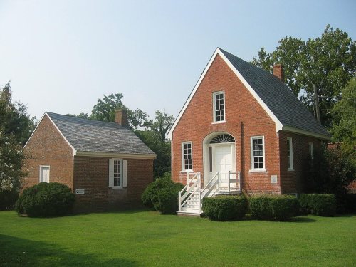
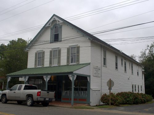
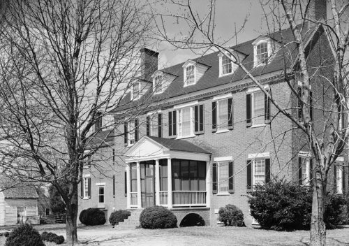
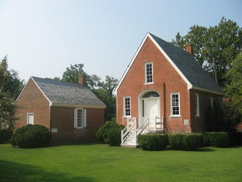
7 places in town are on the National Register, among them two historic districts with 323 buildings between them. Below: 6 old photos and papers from 1930 on.
The present town of Eastville is situated near the sites of the first European settlements established on the Eastern Shore of Virginia. In 1620, Thomas Savage, having been trained as an interpreter and working with the Virginia Company to secure land on the shore from the indigenous cultures there, settled on land that in time came to be known as “Savage Neck,” a few miles southwest of Eastville. By the last quarter of the 17th century, Henry Matthews had settled on the tract of land covering the present town. In 1677, Northampton County residents petitioned for the county court to be moved to a more central location, suggesting Matthews' home. The first courthouse was completed in 1690 and a small community developed to serve the needs of the court called “The Horns,” named for the several peninsulas of land which extended west into the Chesapeake Bay from the area. Not until almost a…
Nothing in the archives for these yearsWeddings on Main Street, storms, parades, school pictures, the old store. If it’s in your family album, it belongs here.
In 1773, according to Wikidata. Eastville’s post office opened in 1819.
What is on the National Register in Eastville?
7 listings: 5 buildings and 2 historic districts, the Northampton County Courthouse Historic District and the Eastville Historic District, with 323 contributing buildings. 331 historic buildings in all.
Founding dates: Wikidata, Wikipedia, the U.S. post office records of Blevins & Helbock (CC0) and the Census. Homes by year built: Census ACS 2020–24. National Register of Historic Places: National Park Service (list of May 22, 2026). Old photos, postcards and papers: Wikimedia Commons, the Library of Congress and other public archives, credited on each item’s page. Maps: U.S. Geological Survey historical topographic maps (via Esri) and Sanborn fire-insurance maps (Library of Congress). History text and census tables: Wikipedia (CC BY-SA 4.0). Places that used to be: USGS Geographic Names Information System (2021). How TownRatings grades history →
From the Library of Congress (6), the National Register of Historic Places (7), Wikipedia, Wikidata and Wikipedia for famous people, the US Post Offices dataset (Blevins & Helbock) and the USGS Geographic Names Information System. Archive images are copied here with their credits and licenses, shown on each photo’s page. Refreshed monthly.







 1930
 1930
 1930
 1930
 1930