
Mitchell's Brick House Tavern · National Register of Historic Places
Arrington’s story
166 years in pictures
The archive holds 2 maps from 1969 on.
1 place on the National Register of Historic Places.
- 1860Arrington is settled
Each edition grades its towns against each other only.
A town of 915, settled in 1860.
Montezuma and Geddes is on the National Register of Historic Places. Arrington has fewer than 1,000 residents, too few for fair grades; the figures below are still real.
In a town this size, neighbors are the best guide. Ask them anything.
The archive holds 2 maps from 1969 on.
1 place on the National Register of Historic Places.
Arrington is unincorporated, so Nelson County and regional agencies provide most services.
EPA SDWIS (Oct 9, 2026) · HIFLD + EIA-861 2025 · Census 2020 ZCTAs · NCES 2024–25 · registration: vote.gov, updated Sep 30, 2026.
Ordered by what stands out in Arrington.
92% of households are owner-occupiers in Arrington, above both Virginia’s towns (68%) and U.S. towns (73%). Values rose 3.4% in the 12 months to September 2026.
Census ACS, 2020–24 · Zillow Home Value Index · Redfin Data Center
Arrington: just over two in five adults 25 and older hold a bachelor’s degree or more. Children under 18 are 37% of residents (22% statewide); people 65 and older are 8% of residents (17% statewide).
44% women, 56% men
That’s an even split within the survey’s margin of ±9.7 points. Across Virginia, 50.6% of residents are women.
| Arrington | VA | U.S. | |
|---|---|---|---|
| Under 10 | 24.6% | 11.6% | 11.6% |
| 10 to 17 | 12.6% | 10.1% | 10.3% |
| 18 to 24 | 6.1% | 9.3% | 9.1% |
| 25 to 34 | 12.5% | 13.5% | 13.7% |
| 35 to 44 | 12% | 13.6% | 13.2% |
| 45 to 54 | 8.2% | 12.5% | 12.2% |
| 55 to 64 | 16.1% | 12.8% | 12.7% |
| 65 to 74 | 6.7% | 9.9% | 10.2% |
| 75 and older | 1.3% | 6.8% | 7% |
| No diploma | 13.5% | 8.4% | 10.4% |
| High school | 10.6% | 23.9% | 26% |
| Some college | 27.9% | 17.7% | 19.1% |
| Associate’s | 6.9% | 7.8% | 8.8% |
| Bachelor’s | 25.6% | 23.7% | 21.6% |
| Graduate | 15.4% | 18.5% | 14.1% |
U.S. Census Bureau · ACS 2020-2024 5-year estimates · in a town of 900, single groups can be off by several points
Just over a fifth of residents live below the poverty line in Arrington, above both the Virginia town median (7.7%) and the median of U.S. towns (9.6%). Its average trip to work is 38 minutes. Half commute less than 32 miles. In Arrington, 0.6% of working residents work locally.
| Arrington | Virginia towns | U.S. towns | |
|---|---|---|---|
| Average trip to work | 38 minutes | 27 minutes | 25 minutes |
| Below the poverty line | 21% | 7.7% | 9.6% |
| Working residents who work in town | 0.6% | 4.9% | 8% |
Census LEHD 2023 · ACS
Expect July afternoons of 87° and January nights of 27°, with about 11 inches of snow a winter.
NOAA U.S. Climate Normals, 1991–2020
6.5 miles of trail. Arrington’s concentration of trails stands at 0.6 miles per square mile.
| Arrington | Virginia towns | U.S. towns | |
|---|---|---|---|
| Conserved land | 9.9% | 4.7% | 4.3% |
| Miles of trail per square mile | 0.6 miles per square mile | 0.7 | 0.4 |
Trails & parks © OpenStreetMap contributors · Conserved land: USGS PAD-US
For adults in Arrington, the share who report frequent mental distress is 19%. Among adults in the town, 43% have high blood pressure and 17% report frequent physical distress.
| Arrington | Virginia towns | U.S. towns | |
|---|---|---|---|
| Diabetes (CDC PLACES) | 17% | 11% | 12% |
| High blood pressure (CDC PLACES) | 43% | 33% | 35% |
| Frequent physical distress (CDC PLACES) | 17% | 12% | 14% |
| Smoke cigarettes (CDC PLACES) | 18% | 12% | 14% |
| What stands out | Arrington | VA |
|---|---|---|
| More older adults who have lost all their teeth | 19.8% | 11.1% |
| More adults with COPD | 9.7% | 6.2% |
| More adults facing food insecurity | 19.2% | 13.1% |
CDC PLACES 2025 · modeled estimates for adults · CMS · HRSA
FEMA expects more storm and flood damage in Arrington than in three fifths of U.S. communities. 62% of the town’s expected losses from natural hazards come from inland flooding, followed by drought at 20%. Households here have drawn federal disaster aid once, in 2003.
FEMA National Risk Index · OpenFEMA
Museums, parks, gardens and other places to visit around Arrington. Close and well known come first.
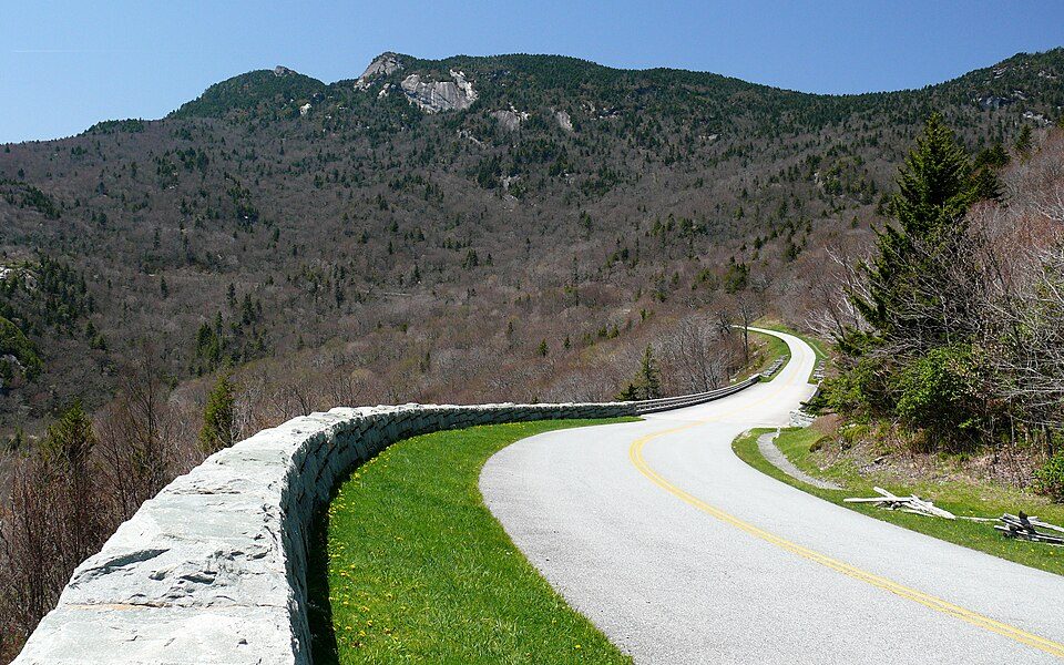 15 mi ParkwayBlue Ridge Parkway16.5M visitors a year
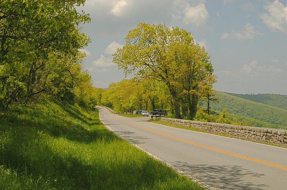 25 mi National ParkShenandoah National Park1.7M visitors a year
 20 mi National Historical ParkAppomattox Court House National Historical Park77K visitors a year
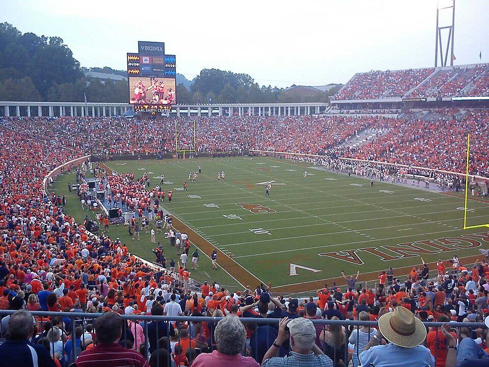 32 mi Stadium & arenaScott Stadium
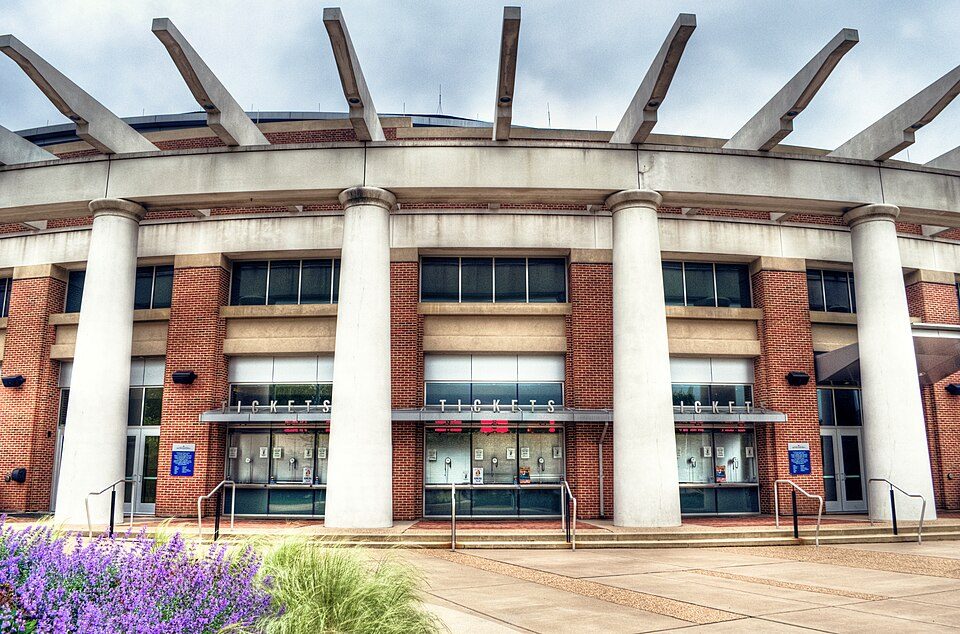 33 mi Stadium & arenaJohn Paul Jones Arena
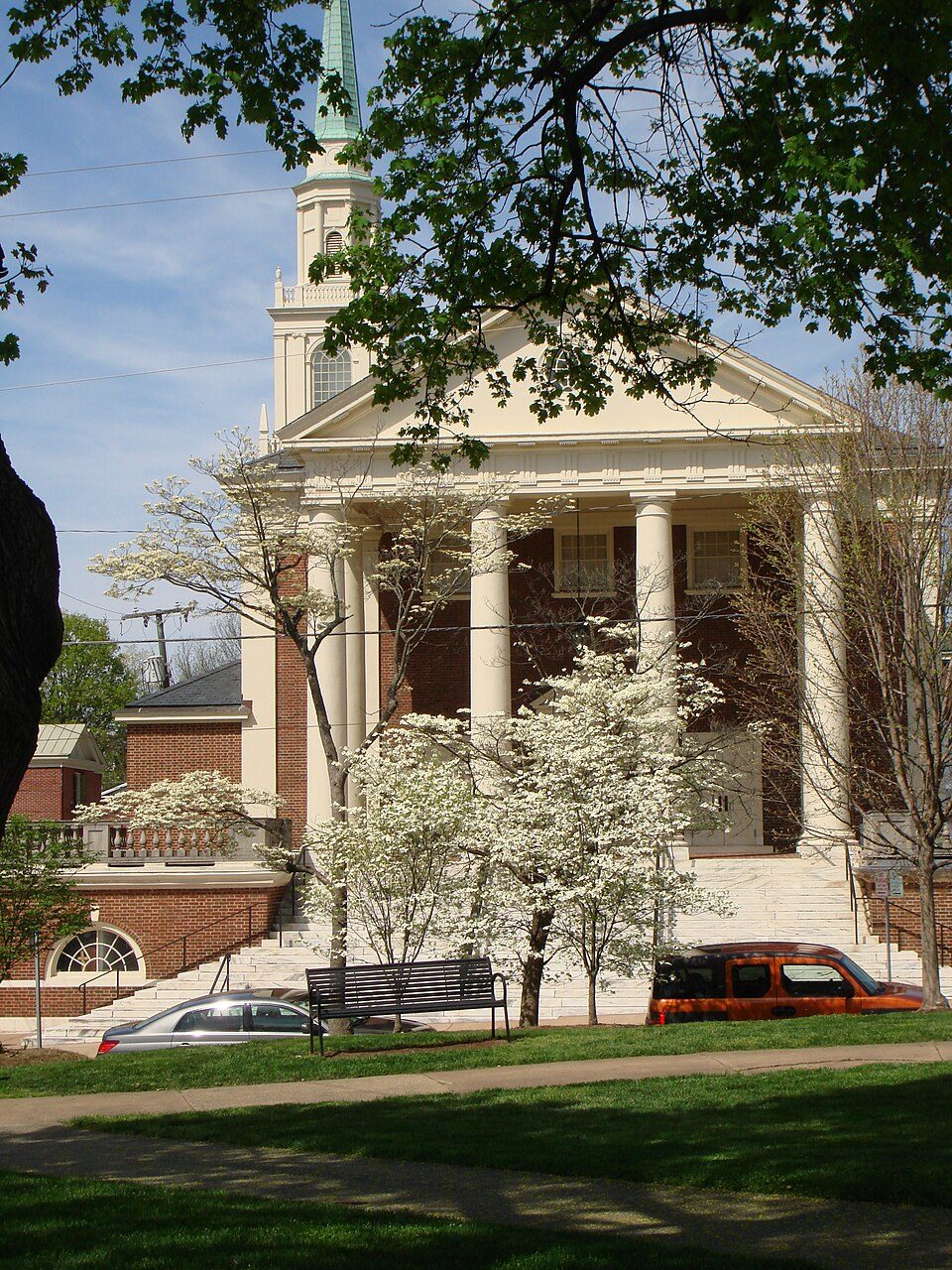 33 mi City parkMarket Street Park
Blue Ridge Parkway: Ken Thomas, Public domain · Shenandoah National Park: Image copyright 2005 by user G. Edward Johnson (user Lorax) and released under t, CC BY-SA 3.0 · Appomattox Court House National Historical Park: Doug Coldwell, CC BY-SA 3.0 · Scott Stadium: Mak7912, CC BY-SA 3.0 · John Paul Jones Arena: Bob Mical, CC BY 2.0 · Market Street Park: Chad Fennell, CC BY 2.0
1 within 15 miles of the center of Arrington
About 9 of every 100 Arrington residents are enrolled in college, against 7 across Virginia.
Where Arrington’s working residents go each day. Line width shows the share.
Census LEHD 2023
Unincorporated community in Virginia, United States
Arrington is a census-designated place (CDP) in Nelson County, Virginia, United States. As of the 2020 census, Arrington had a population of 718. Mitchell's Brick House Tavern was listed on the National Register of Historic Places in 2006.
From Wikipedia, licensed CC BY-SA 4.0 · facts via Wikidata (CC0)
Short answers, built from the data on this page.
Arrington has fewer than 1,000 residents, too few for fair grades; the figures below are still real.


