Lost two-thirds of its people between 1900 and 1910, then more than doubled.
10 censuses, 1890–2020.
U.S. Census Bureau decennial counts, from the census table on Woodland’s Wikipedia page.
The story so far
Woodland, in brief
Wikipedia doesn’t have a history of Woodland yet. The photos, dates and memories neighbors add here are how it gets written.
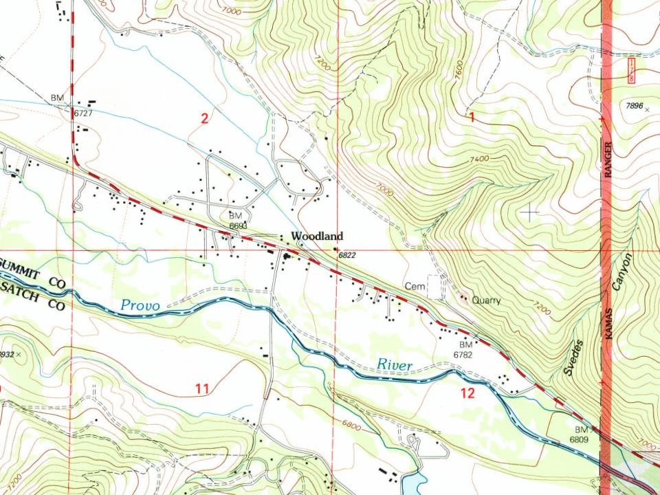
Woodland is a census-designated place (CDP) in Summit County, Utah, United States. The population was 335 at the 2000 census and 375 at 2020 census. Woodland was first settled along the Provo River by Hans Larsen(1861). In 1864, Larsen donated a portion of land to the LDS Church in order to build a meeting house, which he would construct. Larsen chose the name Woodland in recognition of the large timbers and railroad ties harvested from the area. Woodland was officially recognized as a Utah Territory settlement in 1867. Since 2000, there has been attempts to incorporate the CDP. When the proposal to incorporate as its own town stalled, there was another proposal for the CDP to be at least p…
Woodland was established in 1861. Between the 2010 and 2020 censuses its population grew from 343 to 375 (+9%).
Intro from Wikipedia. Population: U.S. Census Bureau.
Timeline
Woodland, 1861 to 1972
Woven from the archive, old maps, post office records, the National Register and the people born here.
Founding dates: Wikidata, Wikipedia, the U.S. post office records of Blevins & Helbock (CC0) and the Census. Homes by year built: Census ACS 2020–24. National Register of Historic Places: National Park Service (list of May 22, 2026). Old photos, postcards and papers: Wikimedia Commons, the Library of Congress and other public archives, credited on each item’s page. Maps: U.S. Geological Survey historical topographic maps (via Esri) and Sanborn fire-insurance maps (Library of Congress). History text and census tables: Wikipedia (CC BY-SA 4.0). Places that used to be: USGS Geographic Names Information System (2021). How TownRatings grades history →
From U.S. Geological Survey historical maps, U.S. Census counts (via Wikipedia), the US Post Offices dataset (Blevins & Helbock) and the USGS Geographic Names Information System. Archive images are copied here with their credits and licenses, shown on each photo’s page. Refreshed monthly.