Ophir in pictures
Census counts: 249 in 1890, a peak of 522 in 1920, 24 in 2020. The archive holds 4 old photos and papers going back to 2014 and a map from 1918 on.
3 places on the National Register of Historic Places.
Explore the history →Each edition grades its towns against each other only.

A town in Utah.
Only 4 of the 120 Utah towns we compare have a lower July high than Ophir. Ophir has 3 places on the National Register of Historic Places, among them Ophir Town Hall and Lawrence Brothers and Company Store. We don’t grade Ophir yet; the figures below are still real.
Census counts: 249 in 1890, a peak of 522 in 1920, 24 in 2020. The archive holds 4 old photos and papers going back to 2014 and a map from 1918 on.
3 places on the National Register of Historic Places.
Explore the history →3 places in Ophir on the National Register of Historic Places.
Ordered by what stands out in Ophir.
Of the losses FEMA expects in Ophir, 88% come from wildfires and 5% from inland flooding. Expected storm and flood damage is higher than in 100% of U.S. communities.
FEMA National Risk Index · OpenFEMA
The range runs from 20° on a January night to 85° on a July afternoon, with about 75 inches of snow a winter.
NOAA U.S. Climate Normals, 1991–2020
Just over one in ten adults report frequent physical distress in Ophir, where Utah’s towns sit at 12% and U.S. towns at 14%. Ophir: nearly one in ten adults smoke cigarettes. Against the Utah average, Ophir comes out ahead on 6 CDC measures out of 32, and behind on 2. Also worth knowing: among 119 Utah towns, just 5 have a higher share of adults who have obesity than Ophir.
| Ophir | Utah towns | U.S. towns | |
|---|---|---|---|
| Yearly checkup (CDC PLACES) | 70% | 72% | 79% |
| Sleep under 7 hours (CDC PLACES) | 39% | 34% | 36% |
| Depression (CDC PLACES) | 29% | 28% | 23% |
| Binge drink (CDC PLACES) | 14% | 11% | 16% |
| What stands out | Ophir | UT |
|---|---|---|
| Fewer older adults who have lost all their teeth | 7.2% | 9.8% |
| Fewer uninsured adults | 8% | 10.5% |
| More adults with obesity | 36.8% | 31% |
CDC PLACES 2025 · modeled estimates for adults · CMS · HRSA
Museums, parks, gardens and other places to visit around Ophir. Close and well known come first.
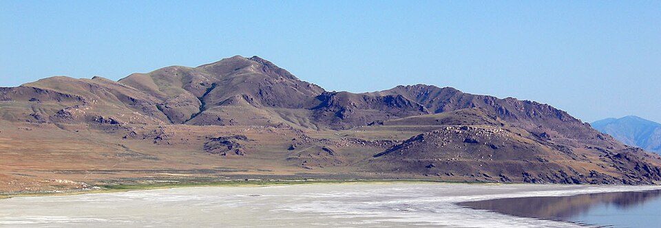
9 mi LakeLake Bonneville
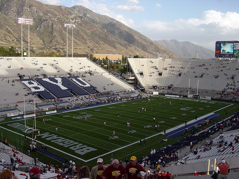
Big draw33 mi Stadium & arenaDelta Center
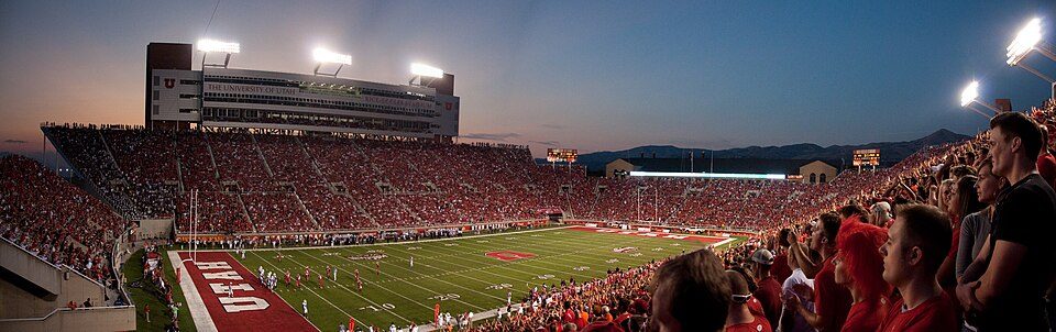
34 mi Stadium & arenaRice–Eccles Stadium26 mi Theme parkEvermore Park
24 mi Stadium & arenaAmerica First Field
33 mi Stadium & arenaLaVell Edwards StadiumLake Bonneville: Wilson44691, Public domain · Delta Center: Lomrjyo, CC BY-SA 4.0 · Rice–Eccles Stadium: Brenton Walker, CC BY 2.0 · America First Field: Scott Catron, CC BY-SA 2.0 · LaVell Edwards Stadium: The original uploader was Bobak at English Wikipedia., CC BY-SA 2.5
Ophir is unincorporated, so Tooele County and regional agencies provide most services.
EPA SDWIS (Oct 9, 2026) · HIFLD + EIA-861 2025 · Census 2020 ZCTAs · NCES 2024–25 · registration: vote.gov, updated Mar 13, 2026.
None within 15 miles of Ophir; the nearest are
CDP in Utah, United States
Ophir is a census-designated place in Tooele County, Utah, United States. It is part of the Salt Lake City, Utah Metropolitan Statistical Area. The population was 24 at the 2020 census, a decrease of 14 from the 2010 figure of 38.
From Wikipedia, licensed CC BY-SA 4.0 · facts via Wikidata (CC0)
Short answers, built from the data on this page.
We don’t grade Ophir yet; the figures below are still real. A town in Utah.
Ask a question, answer one, post a photo or an event. Free, and the parts only a neighbor would know are the parts worth reading.