
Granite LDS Ward Chapel-Avard Fairbanks Studio · National Register of Historic Places
Granite’s story
Granite in pictures
1 place on the National Register of Historic Places.
Explore the history →Each edition grades its towns against each other only.
A town of 908.
Granite LDS Ward Chapel-Avard Fairbanks Studio is on the National Register of Historic Places. Granite has fewer than 1,000 residents, too few for fair grades; the figures below are still real.
1,932 counted in 2010 and 1,076 in 2020.
U.S. Census 2010 & 2020 counts
1 place on the National Register of Historic Places.
Explore the history →Museums, parks, gardens and other places to visit around Granite. Close and well known come first.
 Big draw15 mi Stadium & arenaDelta Center
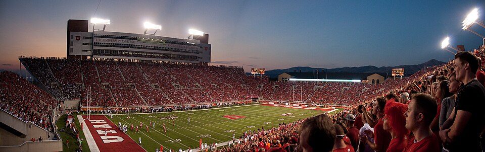 14 mi Stadium & arenaRice–Eccles Stadium
 6 mi Stadium & arenaAmerica First Field
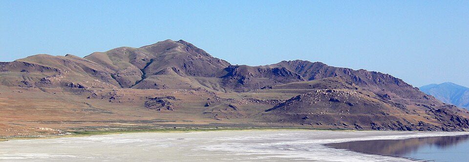 25 mi LakeLake Bonneville15 mi Theme parkEvermore Park
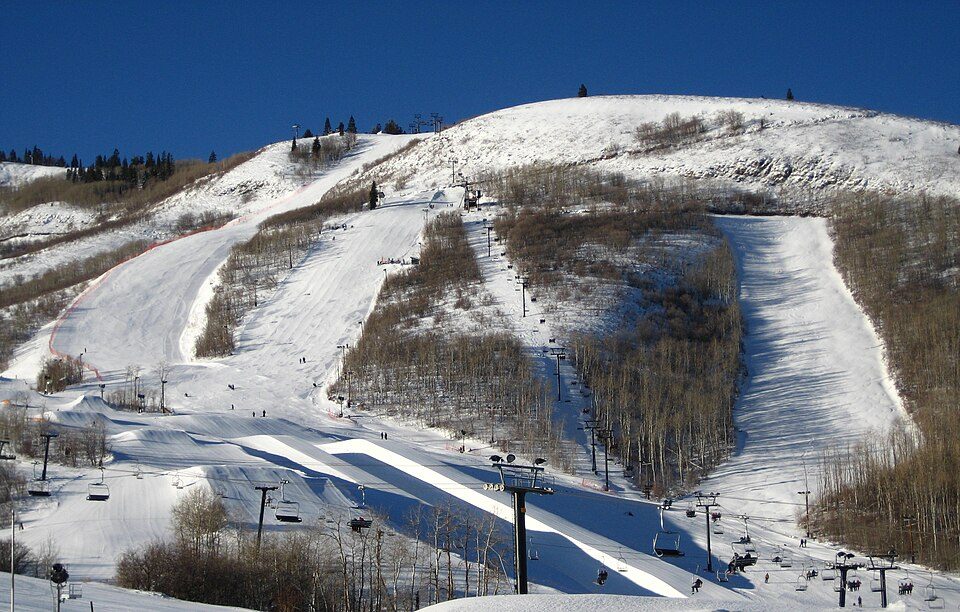 14 mi Ski areaPark City Mountain Resort393 runs · 3,100 ft vertical
Delta Center: Lomrjyo, CC BY-SA 4.0 · Rice–Eccles Stadium: Brenton Walker, CC BY 2.0 · America First Field: Scott Catron, CC BY-SA 2.0 · Lake Bonneville: Wilson44691, Public domain · Park City Mountain Resort: Rudi Riet from Washington, DC, United States, CC BY-SA 2.0
Granite is unincorporated, so Salt Lake County and regional agencies provide most services.
EPA SDWIS (Oct 9, 2026) · HIFLD + EIA-861 2025 · Census 2020 ZCTAs · NCES 2024–25 · registration: vote.gov, updated Mar 13, 2026.
Ordered by what stands out in Granite.
Jobs in Granite grew by 35 from 2013 to 2023, reaching 155. In Granite, 3.5% of residents live below the poverty line. The median commute is under 9 miles. The top destinations are Salt Lake City (23%), Sandy (14%) and Draper (6%).
| Granite | Utah towns | U.S. towns | |
|---|---|---|---|
| Working residents who work in town | 0.6% | 8.4% | 8% |
| Below the poverty line | 3.5% | 6.2% | 9.6% |
| Average trip to work | 23 minutes | 22 minutes | 25 minutes |
Census LEHD 2023 · ACS
Granite’s density of trails stands at 1.9 miles per square mile. The biggest park or preserve is Uinta-Wasatch-Cache National Forest, at 187 acres. Trails total 1.9 miles in 4 parks and preserves.
| Biggest places to walk | Trails | Acres |
|---|---|---|
| 1. Uinta-Wasatch-Cache National Forest | — | 187 |
| 2. Lone Peak Wilderness | — | 149 |
| 3. Dimple Dell Park | — | 7 |
Trails & parks © OpenStreetMap contributors · Conserved land: USGS PAD-US
The risk rating from FEMA in Granite is 71 of 100. 83% of the town’s expected losses from natural hazards come from avalanches, followed by wildfires at 10%.
FEMA National Risk Index · OpenFEMA
Expect chilly winters and pleasant summers in Granite. July afternoons reach 83° and January nights drop to 19°.
NOAA U.S. Climate Normals, 1991–2020
9.2% of adults have diabetes in Granite. Of 32 CDC measures, Granite beats the Utah average on 20 and trails it on 6. Only 4 of the 119 Utah towns we compare have a lower share of adults who smoke cigarettes than Granite.
| Granite | Utah towns | U.S. towns | |
|---|---|---|---|
| Frequent mental distress (CDC PLACES) | 13% | 17% | 17% |
| Sleep under 7 hours (CDC PLACES) | 29% | 34% | 36% |
| Smoke cigarettes (CDC PLACES) | 5.8% | 8% | 14% |
| Obesity (CDC PLACES) | 27% | 31% | 35% |
| What stands out | Granite | UT |
|---|---|---|
| Fewer adults facing food insecurity | 6.7% | 12.4% |
| Fewer older adults who have lost all their teeth | 5.3% | 9.8% |
| More adults who have had cancer | 11.8% | 7.2% |
CDC PLACES 2025 · modeled estimates for adults · CMS · HRSA
8 within 15 miles of the center of Granite
About 4 of every 100 Granite residents are enrolled in college, against 8 across Utah.
In a town this size, neighbors are the best guide. Ask them anything.
Short answers, built from the data on this page.
Granite has fewer than 1,000 residents, too few for fair grades; the figures below are still real.


