
Entering the Great Salt Lake Valley by C.C.A. Christensen, 1850
Emigration Canyon’s story
Emigration Canyon in pictures
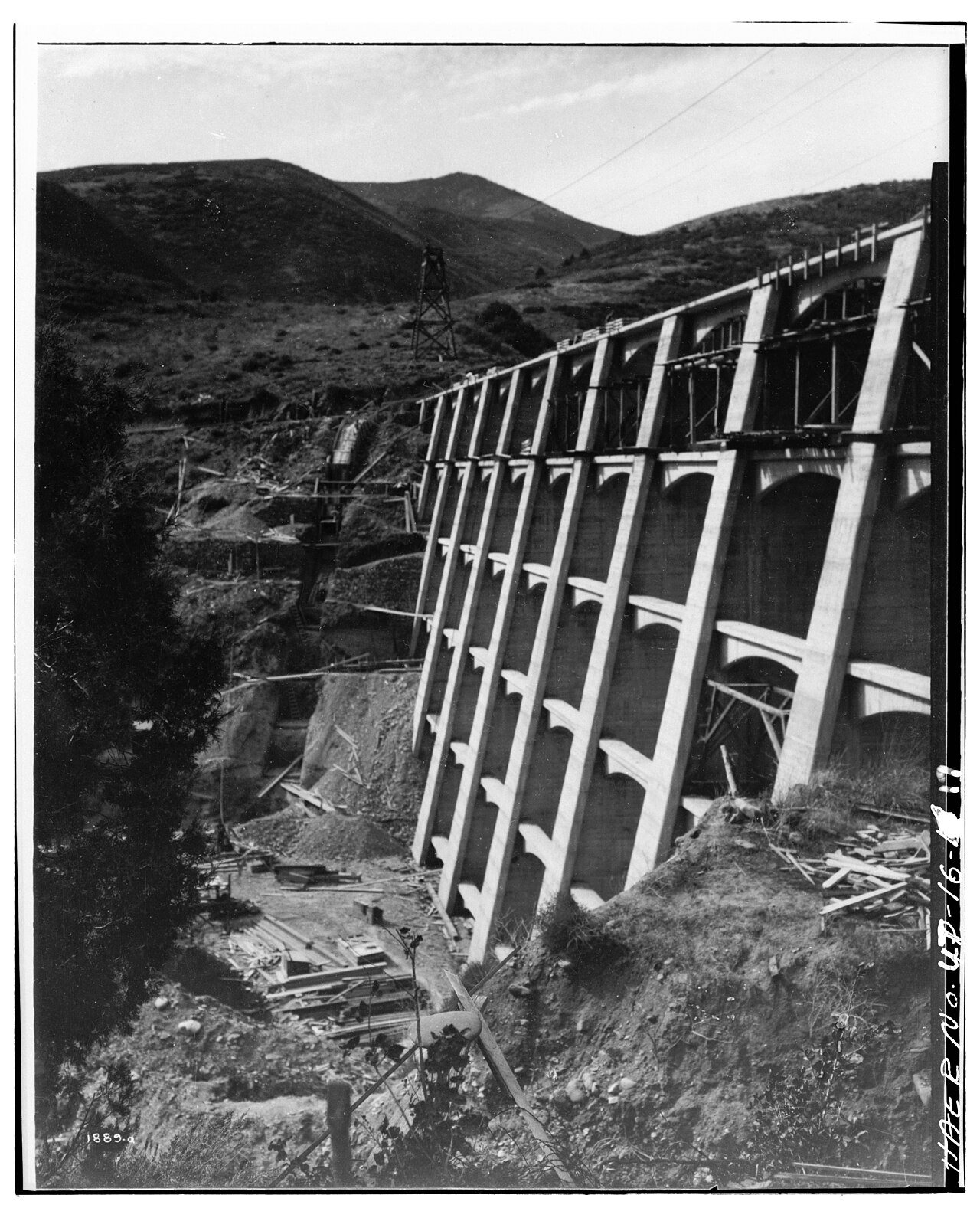
The archive holds 18 old photos and papers going back to 1850 and 4 maps from 1950 on.
Explore the history →Each edition grades its towns against each other only.
A town of 1,417.
The best of Emigration Canyon’s subject grades are an A+ for health and incomes and an A− for the outdoors; the weakest is a D for hazard risk. 72% of adults 25 and older hold a bachelor’s degree or more in Emigration Canyon, where Utah’s towns sit at 36% and U.S. towns at 29%. Only 4 of Utah’s 172 towns score higher on health. Most errands need a car: it is less walkable than 93% of U.S. towns. 32% of the land in Emigration Canyon is conserved, above both the Utah town median (3.4%) and the median of U.S. towns (4.3%). Uinta-Wasatch-Cache National Forest, at 7,612 acres with 23 miles of trail, is the biggest park or preserve. Only 9 of Utah’s 137 towns score higher on civic life. Emigration Canyon has fewer than 2,500 residents, so it gets subject grades but no overall grade.
Where Emigration Canyon beats most towns, and one thing worth knowing.
| Widest gap | Emigration Canyon | UT |
|---|---|---|
| Fewer uninsured adults | 4.8% | 10.5% |
In a town this size, neighbors are the best guide. Ask them anything.
Each subject compared with towns across the country (schools within Utah), ordered by how far Emigration Canyon is from typical.
How TownRatings grades towns →
The archive holds 18 old photos and papers going back to 1850 and 4 maps from 1950 on.
Explore the history →Museums, parks, gardens and other places to visit around Emigration Canyon. Close and well known come first.
 Big draw9 mi Stadium & arenaDelta Center
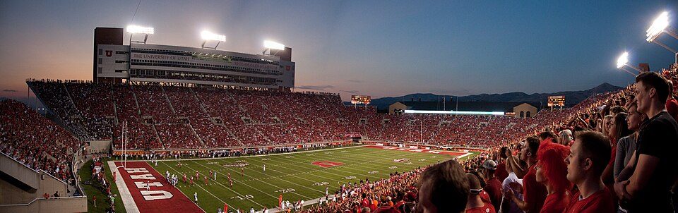 6 mi Stadium & arenaRice–Eccles Stadium
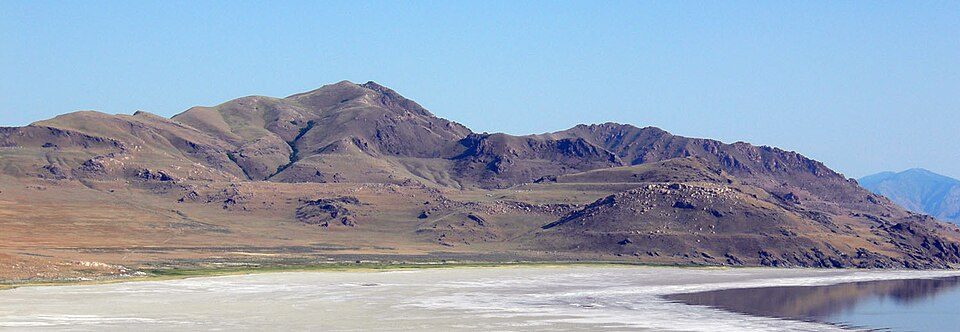 33 mi LakeLake Bonneville
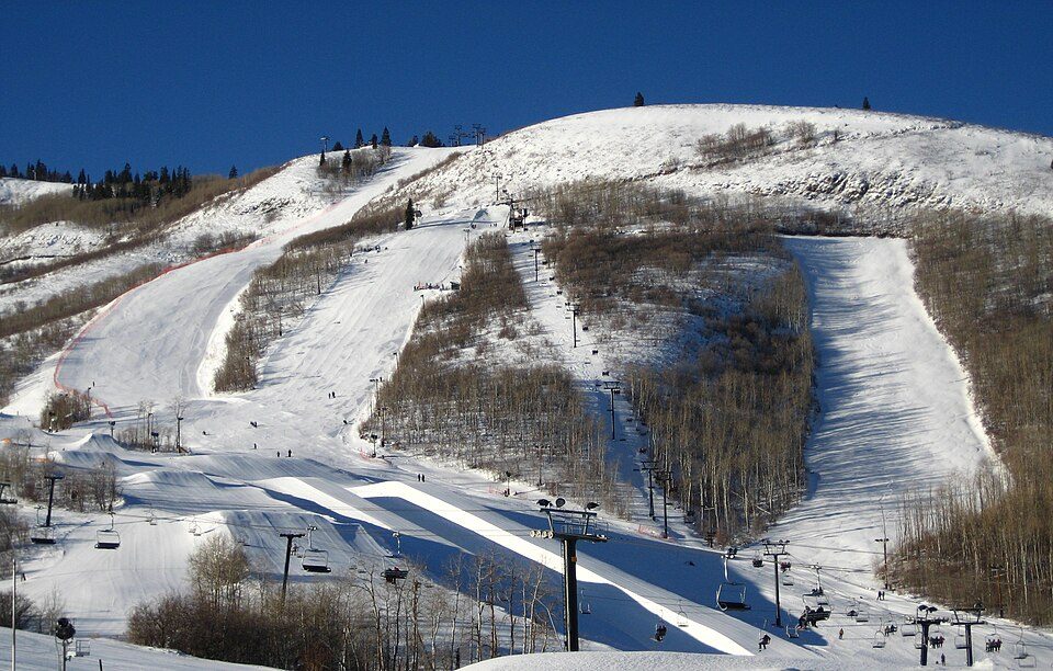 14 mi Ski areaPark City Mountain Resort393 runs · 3,100 ft vertical
 8 mi GardenTemple Square
 16 mi Stadium & arenaAmerica First Field
Delta Center: Lomrjyo, CC BY-SA 4.0 · Rice–Eccles Stadium: Brenton Walker, CC BY 2.0 · Lake Bonneville: Wilson44691, Public domain · Park City Mountain Resort: Rudi Riet from Washington, DC, United States, CC BY-SA 2.0 · Temple Square: Carol M. Highsmith, Public domain · America First Field: Scott Catron, CC BY-SA 2.0
Who provides power, water and the rest in Emigration Canyon, and how to reach them.
EPA SDWIS (Oct 9, 2026) · HIFLD + EIA-861 2025 · Census 2020 ZCTAs · NCES 2024–25 · registration: vote.gov, updated Mar 13, 2026.
Ordered by what stands out in Emigration Canyon.
13% of Emigration Canyon adults report frequent mental distress. Among 119 Utah towns, just 5 have a lower share of adults who say their health is fair or poor than Emigration Canyon. 30% of Emigration Canyon adults feel lonely.
| Emigration Canyon | Utah towns | U.S. towns | |
|---|---|---|---|
| Frequent mental distress (CDC PLACES) | 13% | 17% | 17% |
| Smoke cigarettes (CDC PLACES) | 5.2% | 8% | 14% |
| Get no exercise (CDC PLACES) | 13% | 17% | 25% |
| Obesity (CDC PLACES) | 26% | 31% | 35% |
| What stands out | Emigration Canyon | UT |
|---|---|---|
| Fewer uninsured adults | 4.8% | 10.5% |
| Fewer adults facing food insecurity | 5.7% | 12.4% |
| More adults who have had cancer | 10.6% | 7.2% |
CDC PLACES 2025 · modeled estimates for adults · CMS · HRSA
The FEMA risk score in Emigration Canyon is 89 of 100.
FEMA National Risk Index · OpenFEMA
25 miles of trail in 2 parks and preserves. Emigration Canyon’s trail density is 1.4 miles per square mile.
| Biggest places to walk | Trails | Acres |
|---|---|---|
| 1. Uinta-Wasatch-Cache National Forest | 23 mi | 7,612 |
| 2. Owl Meadow Nature Preserve | — | 5 |
Trails & parks © OpenStreetMap contributors · Conserved land: USGS PAD-US
Most working residents leave Emigration Canyon for work: only 1% work in town. No town among the 120 in Utah we compare has a higher median household income than Emigration Canyon. Since 2013, Emigration Canyon has lost 62 jobs, to 102 in 2023.
| Emigration Canyon | Utah towns | U.S. towns | |
|---|---|---|---|
| Median household income | $191,000 | $101,000 | $80,000 |
| Below the poverty line | 2.7% | 6.2% | 9.6% |
| Working residents who work in town | 1.3% | 8.4% | 8% |
| Average trip to work | 24 minutes | 22 minutes | 25 minutes |
Census LEHD 2023 · ACS
Emigration Canyon has chilly, snowy winters and warm summers. Among 120 Utah towns, just 5 have a lower July high than Emigration Canyon.
NOAA U.S. Climate Normals, 1991–2020
92% of households own their home in Emigration Canyon.
| Emigration Canyon | Utah towns | U.S. towns | |
|---|---|---|---|
| Median rent | $1,944 a month | $1,538 a month | $1,185 a month |
| Households that own their home | 92% | 79% | 73% |
Census ACS, 2020–24 · Zillow Home Value Index · Redfin Data Center
7 within 15 miles of the center of Emigration Canyon
About 5 of every 100 Emigration Canyon residents are enrolled in college, against 8 across Utah.
Where Emigration Canyon’s working residents go each day. Line width shows the share.
Census LEHD 2023
City
Emigration Canyon is a city and canyon in Salt Lake County, Utah, United States, located east of Salt Lake City in the Wasatch Range. Beginning at the southern end of the University of Utah, the canyon itself heads east and northeast between Salt Lake City and Morgan County. Its boundaries do not extend to the county line, nor do they encompass all of Emigration Canyon, as parts of it are within Salt Lake City. As of the 2020 census, the population was 1,466. A portion of Emigration Canyon, located in This Is the Place Heritage Park, was declared a National Historic Landmark in 1961 for the canyon's significance in the Mormon migration of the 19th century.
From Wikipedia, licensed CC BY-SA 4.0 · facts via Wikidata (CC0)
Short answers, built from the data on this page.
Yes. Cost of living, which also weighs rents, property taxes and how many households pay 30% or more of their income for housing, grades C−.


