In the area that became Circleville, the first European colonizers arrived in 1864. They were Mormon settlers from Mormonism's largest denomination the Church of Jesus Christ of Latter-day Saints (LDS Church). The town is located within Circle Valley which gets its name from its circular shape. The valley is completely encircled by mountains except where the Sevier River enters and exits the valley in the north and south.
In April 1866, the settlement was the site of the Circleville Massacre, a lynching of 27 Southern Paiute men, women, and children by LDS settlers during the Black Hawk War. In 2016, a monument was dedicated in the town park to remember the Native American people murdered during the massacre.
Founding dates: Wikidata, Wikipedia, the U.S. post office records of Blevins & Helbock (CC0) and the Census. Homes by year built: Census ACS 2020–24. National Register of Historic Places: National Park Service (list of May 22, 2026). Old photos, postcards and papers: Wikimedia Commons, the Library of Congress and other public archives, credited on each item’s page. Maps: U.S. Geological Survey historical topographic maps (via Esri) and Sanborn fire-insurance maps (Library of Congress). History text and census tables: Wikipedia (CC BY-SA 4.0). Places that used to be: USGS Geographic Names Information System (2021). How TownRatings grades history →
From Wikimedia Commons (12), Wikipedia, U.S. Geological Survey historical maps, U.S. Census counts (via Wikipedia), the US Post Offices dataset (Blevins & Helbock) and the USGS Geographic Names Information System. Archive images are copied here with their credits and licenses, shown on each photo’s page. Refreshed monthly.


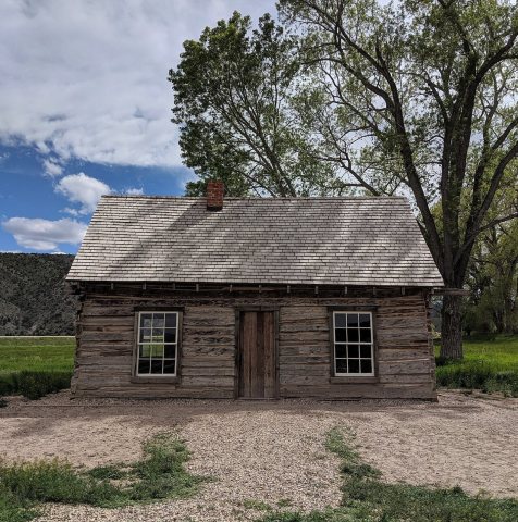 2019
 2013
 2013
 2013
 2013
 2013
 2013
 2013
 2013
 2013
 2012
 2011


