Bath › History › Grade II* › 13, Crescent Lane II* Grade II* listed · Historic England
Listed 1972
Address Crescent Lane, Bath Record 1394971 No photo of it yet Grade II* listed building · Historic England 13, Crescent Lane Crescent Lane, Bath
Listed Grade II* since 1972 54 years · Grade II* is the next 5.8% of England’s listed buildings
Many listed buildings are private homes. Please enjoy them from the street.
About About 13, Crescent Lane The house at 13, Crescent Lane is one of 115 Grade II* listed buildings in Bath and about 22,127 in England. It was among the first 333 buildings in Bath to be listed, on 11 August 1972, and its entry was last amended on 15 October 2010. It stands in the Bath conservation area, designated in 1968. Within 400 metres are 12 more Grade I buildings and 341 other listed buildings.
HE Read the official list entry Historic England’s description of the building, its history and why it is listed · List entry 1394971 ↗ Grade II* is for particularly important buildings of more than special interest, about 5.8% of all listed buildings in England. Listing protects the whole building, inside and out: changes need listed building consent from the council.
The record
Grade Grade II*
First listed 11 August 1972
Entry amended 15 October 2010
Type House
Conservation area Bath (1968)
Grid reference ST 74538 65486
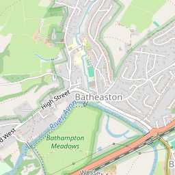
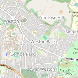
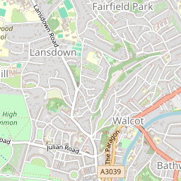
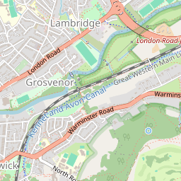
Where Crescent Lane, Bath, Somerset Visit Make it a walk: 5 listed buildings in about 10 minutes Crescent Lane, Bath · about 0.3 miles on foot, as the crow flies
1 2 3 4 5 © OpenStreetMap contributors Around it 83 more listed buildings within 150 metres Grade I and II* ones open their own page; Grade II ones open the official list entry.
II 14, Crescent Lane 13 m II 12, Crescent Lane 14 m II 11 Garden Frontage Only 25 m II No. 1 and Attached Wall and Gate Pier 43 m II 2, St James's Street 50 m II 16, Crescent Lane 51 m II 11 and 11A, St James's Street 54 m II No. 3 and Attached Canopy Nos. 1 and 2 (Part) 58 m II St James's Wine Vaults 62 m II 4, St James's Street 64 m II No. 17 with Walls and Gatepiers 65 m I Nos. 1-30, ROYAL CRESCENT 68 m II 9, St James's Street 71 m II 5 and 6, St James's Street 73 m II St Andrews Post Office 76 m II The Dark Horse and Attached Railings 78 m II 18, Crescent Lane 80 m II Five Lamp Columns 81 m Show the other 65 II 7, St James's Street 82 m II No. 5 and Attached Railings 84 m II 6 and 7, Crescent Lane 89 m II 1 and 1A Rivers Street and attached railings 91 m II No. 6 and Attached Railings 91 m II* 19, Crescent Lane 95 m II No. 9 and Attached Railings 95 m II Nos. 8 and 8A and Attached Railings 96 m II 6, St James's Place 96 m II 2 Rivers Street and attached railings 97 m II No. 10 and Attached Railings 97 m II No. 11 and Attached Railings 97 m II No. 12 and Attached Railings 98 m II No. 13 and Attached Railings 100 m II No. 14 and Attached Railings 102 m I Nos. 38-45 (Consec) and Attached Railings 102 m II 3 Rivers Street and attached railings 103 m II No. 20 with Attached Wall and Gatepiers 104 m II Bath Bridge Club and Attached Railings 104 m II 4 Rivers Street and attached railings 109 m II* 8, Upper Church Street 112 m II 5 Rivers Street and attached railings 116 m II No. 33 and Attached Railings 117 m II* 7, Upper Church Street 118 m II No. 10 and Attached Railings 122 m II No. 9 and Attached Railings 122 m II 11, Northampton Street 123 m II 11, Marlborough Street 123 m II Walcot Rectory and attached railings 123 m II 12, Marlborough Street 123 m II No. 32 and Attached Railings 124 m II 4, 5 and 6, Upper Church Street 127 m II 12, Northampton Street 129 m II 16-19, Catharine Place 130 m II 31, Northampton Street 130 m II 7 River Street and attached railings 130 m I 23-37 (Consec) and Attached Railings 132 m II 30, Northampton Street 135 m II 13, Northampton Street 135 m II 8 Rivers Street and attached railings 136 m II 4, Harley Street 138 m II 2 and 3, Upper Church Street 139 m II 1A, Royal Crescent 140 m II No. 6 and Attached Railings 141 m II 14, Northampton Street 141 m II 29, Northampton Street 141 m II No. 5 and Attached Railings 141 m II No. 4 and Attached Railings 142 m II No. 7 and Attached Railings 142 m II No. 3 and Attached Railings 143 m II No.8 and Attached Railings 143 m II St Mary's Rectory 143 m II No. 2 and Attached Railings 143 m II 9 Rivers Street and attached railings 143 m II No. 6 and Attached Railings 144 m II No.7 and Attached Railings 145 m II No.5 and Attached Railings 145 m II No.4 and Attached Railings 145 m II 28, Northampton Street 146 m II No. 3 and Attached Railings 146 m II 15, Northampton Street 147 m II No. 1 and Attached Railings 148 m II 11, Margaret's Buildings 148 m II Garden Flat Nos. 1, 2 and 2A and Attached Railings 149 m II 10 Rivers Street and attached railings 149 m More like it Grade I and II* houses near Bath Within 25 miles, with a photo.
Questions about 13, Crescent Lane Is 13, Crescent Lane listed? Yes. 13, Crescent Lane is listed Grade II* on the National Heritage List for England (list entry 1394971), first listed on 11 August 1972.
Can you visit 13, Crescent Lane? Many listed buildings are private homes; this one can be seen from the street.
Is 13, Crescent Lane in a conservation area? Yes, the Bath conservation area, designated in 1968.
© Historic England 2026. Contains Ordnance Survey data © Crown copyright and database right 2026. Check an entry on Historic England’s website before relying on it. Photos: Wikimedia Commons and Geograph, credited above, copied to our own server. Map tiles © OpenStreetMap contributors.
Sources: Historic England, National Heritage List for England (listed buildings, scheduled monuments, registered parks and gardens, battlefields, World Heritage Sites), October 2026, inside the ONS 2022 built-up-area boundary · Historic England conservation areas (supplied by local planning authorities; October 2026). All under the Open Government Licence v3.0.
Contains public sector information licensed under the Open Government Licence v3.0. Contains HM Land Registry data © Crown copyright and database right 2026. Contains OS data © Crown copyright and database right 2026 (ONS boundaries). Northern Ireland: Source: NISRA; contains Land & Property Services data and Ordnance Survey of Northern Ireland information, © Crown copyright, licensed under the Open Government Licence v3.0. Scotland: contains National Records of Scotland data, Registers of Scotland data and SEPA data, © Crown copyright / © SEPA 2025, licensed under the Open Government Licence v3.0.