Northern Ireland
63 towns in 11 council areas. 63 have an overall grade against towns across the UK, and Carryduff ranks first. Pick a council area on the map or below.
The best-graded towns in Northern Ireland
The highest overall grades among Northern Ireland’s towns of 2,500 or more, graded against towns across the UK.
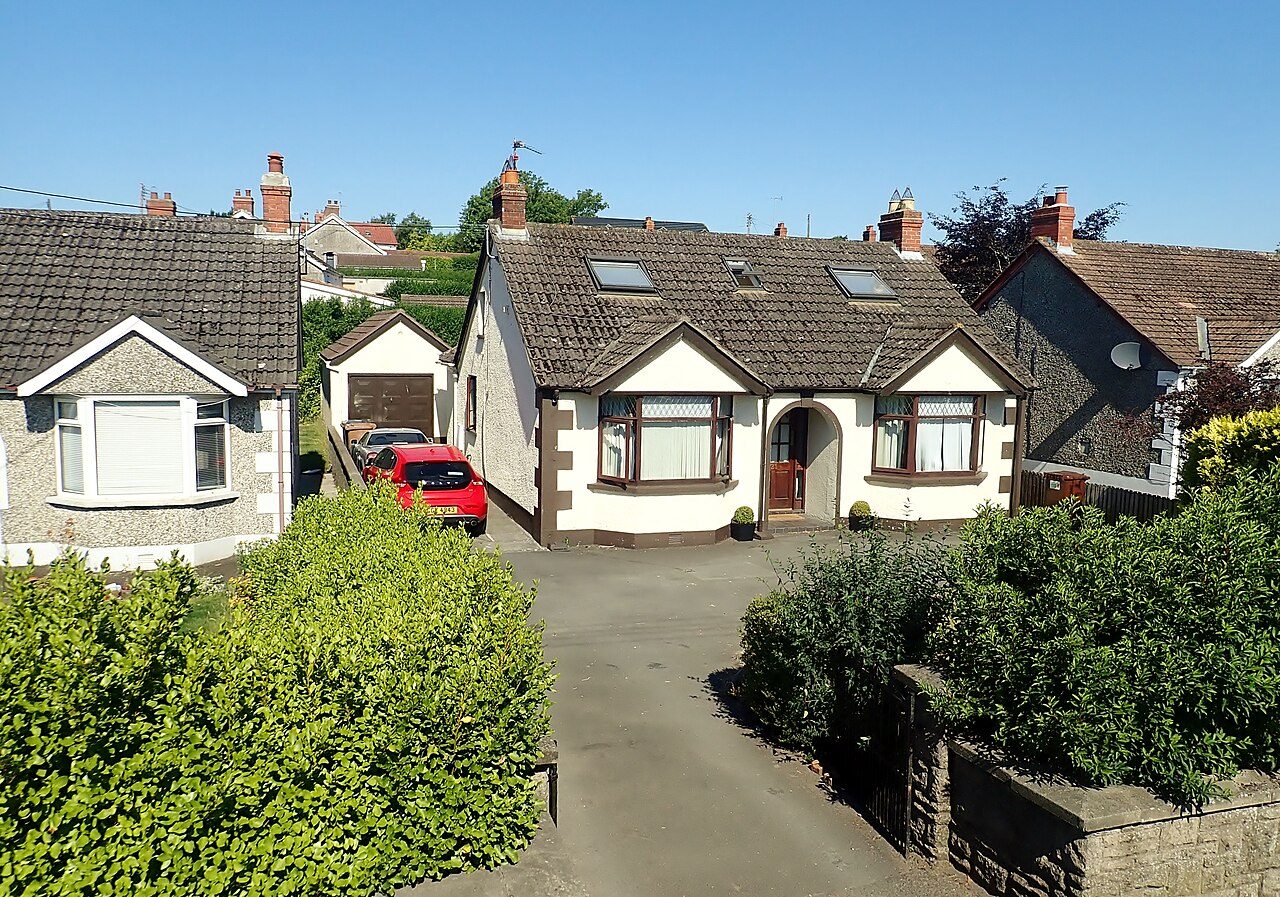 #1 in Northern IrelandCarryduffLisburn and Castlereagh · 7,173 peopleA+Overall#1 of 5 in Lisburn and CastlereaghA+Cost of livingASafety
 #2 in Northern IrelandMagheraMid Ulster · 4,235 peopleA+Overall#1 of 5 in Mid UlsterA+Cost of livingA+Schools
 #3 in Northern IrelandHillsborough and CulcavyLisburn and Castlereagh · 3,754 peopleA+Overall#2 of 5 in Lisburn and CastlereaghA+SafetyACost of living
 #4 in Northern IrelandWarrenpoint and BurrenNewry, Mourne and Down · 9,091 peopleA+Overall#1 of 10 in Newry, Mourne and DownA+Cost of livingASchools
 #5 in Northern IrelandDungivenCauseway Coast and Glens · 3,346 peopleA+Overall#1 of 7 in Causeway Coast and GlensA+Cost of livingA+Schools
 #6 in Northern IrelandMetropolitan CastlereaghLisburn and Castlereagh · 58,763 peopleA+Overall#3 of 5 in Lisburn and CastlereaghA+Cost of livingA−Safety
 #7 in Northern IrelandBallygowanArds and North Down · 3,138 peopleAOverall#1 of 6 in Ards and North DownA+Cost of livingASafety
 #8 in Northern IrelandComberArds and North Down · 9,529 peopleAOverall#2 of 6 in Ards and North DownA+Cost of livingASchools
The most affordable towns of 5,000+
Graded on house prices, rents and council tax against what households there earn.
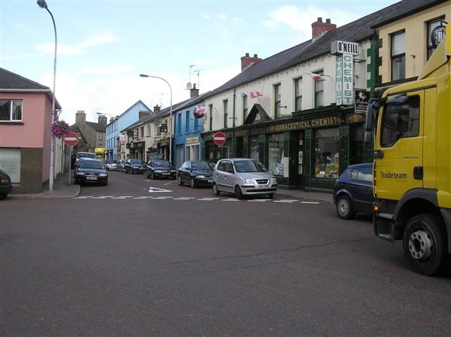 Most affordableCoalislandMid Ulster · 5,468 peopleA+Cost of livingTypical home £140K
 Most affordableDungannonMid Ulster · 16,282 peopleA+Cost of livingTypical home £147K
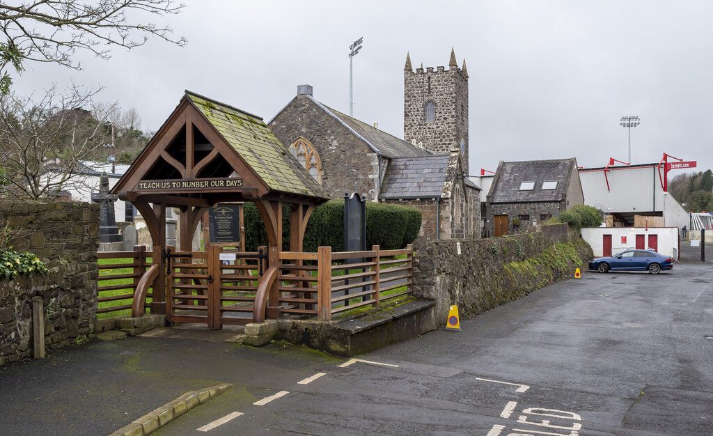 Most affordableLarneMid and East Antrim · 18,853 peopleA+Cost of livingTypical home £117K
 Most affordableCookstownMid Ulster · 12,546 peopleA+Cost of livingTypical home £173K
All 11 council areas
Explore every town in a council area.
What Northern Ireland towns are graded on
Every subject compares a town with towns across the UK, from public data. Where Northern Ireland publishes its figures differently, a subject waits until they line up.
Photos: Carryduff, Eric Jones (CC BY-SA 2.0) · Maghera, Kenneth Allen (CC BY-SA 2.0) · Hillsborough and Culcavy, Stephen McKay (CC BY-SA 2.0) · Warrenpoint and Burren, Ardfern (CC BY-SA 3.0) · Dungiven, John O'Kane (CC BY-SA 2.0) · Metropolitan Castlereagh, Eric Jones (CC BY-SA 2.0) · Ballygowan, Ardfern (CC BY-SA 3.0) · Comber, Eric Jones (CC BY-SA 2.0) · Coalisland, Kenneth Allen (CC BY-SA 2.0) · Dungannon, Kenneth Allen (CC BY-SA 2.0) · Larne, Rossographer (CC BY-SA 2.0) · Cookstown, Linda Bailey (CC BY-SA 2.0), via Wikimedia Commons.
Sources: TownRatings grades: our own summary of the data, ranked against UK towns only · NISRA Census 2021, data zones best-fitted to the NISRA Settlement Development Limits 2015 (settlement totals from NISRA where it publishes them) · NISRA / Land & Property Services verified residential sales by ward, 2005 to 2024, new and existing dwellings (medians; the 2022 to 2024 headline brought to early-2025 prices with the LPS house price index, which runs to 2026). All under the Open Government Licence v3.0.
Contains public sector information licensed under the Open Government Licence v3.0. Contains HM Land Registry data © Crown copyright and database right 2026. Contains OS data © Crown copyright and database right 2026 (ONS boundaries). Northern Ireland: Source: NISRA; contains Land & Property Services data and Ordnance Survey of Northern Ireland information, © Crown copyright, licensed under the Open Government Licence v3.0. Scotland: contains National Records of Scotland data, Registers of Scotland data and SEPA data, © Crown copyright / © SEPA 2025, licensed under the Open Government Licence v3.0.