Find your town in Armagh City, Banbridge and Craigavon
Armagh City, Banbridge and Craigavon has 7 towns of 2,500 or more. Towns are graded against UK towns on cost of living, safety, schools, health and walkability; Northern Ireland has no Jobs or Flood risk grade.


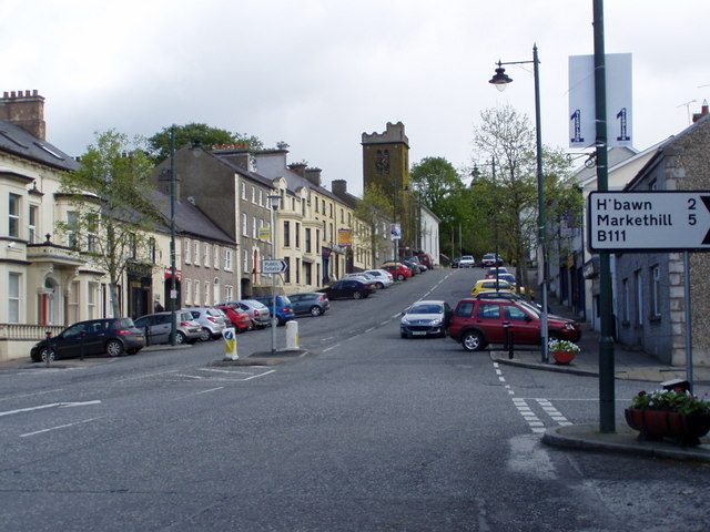

What Armagh City, Banbridge and Craigavon is like
The typical Armagh City, Banbridge and Craigavon town grades highest on cost of living and safety against towns across England, Scotland, Wales and Northern Ireland, and lowest on schools. Choose a subject to find the towns that do best on it.
2 of 7 (29%) grade A− or better, against 25% of UK towns.
Every town ranked by scoreThe full Armagh City, Banbridge and Craigavon list, with what drives each gradeCompare two townsSide by side, subject by subjectFind a town that’s…
7 towns · ordered by Armagh City, Banbridge and Craigavon rank


Photos: 0: Eric Jones · CC BY-SA 2.0 · 1: Albert Bridge · CC BY-SA 2.0 · 2: HENRY CLARK · CC BY-SA 2.0 · 4: Steven Brown · CC BY-SA 2.0
Sources: TownRatings grades: our own summary of the data, ranked against UK towns only · NISRA Census 2021, data zones best-fitted to the NISRA Settlement Development Limits 2015 (settlement totals from NISRA where it publishes them). All under the Open Government Licence v3.0.
Contains public sector information licensed under the Open Government Licence v3.0. Contains HM Land Registry data © Crown copyright and database right 2026. Contains OS data © Crown copyright and database right 2026 (ONS boundaries). Northern Ireland: Source: NISRA; contains Land & Property Services data and Ordnance Survey of Northern Ireland information, © Crown copyright, licensed under the Open Government Licence v3.0. Scotland: contains National Records of Scotland data, Registers of Scotland data and SEPA data, © Crown copyright / © SEPA 2025, licensed under the Open Government Licence v3.0.