Coalisland’s biggest
Coalisland Fianna G.F.C.
Playing field
1.3 ha (3 acres)
2 pitchesfootball pitches would fit
0.5 mi north-eastfrom the centre
Directionsto the park
Each edition grades its towns against each other only.
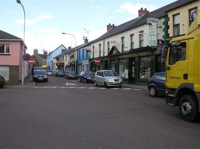 Photo: Kenneth Allen · CC BY-SA 2.0
Footpaths add up to 6 km in the town and the kilometre around it, 0.3 for every square kilometre. Parks and playing fields in Coalisland add up to 1.3 ha for every 1,000 residents; the typical town in England and Wales has 2.1. Coalisland has no Outdoors Grade: Northern Ireland’s towns aren’t graded on the outdoors yet.
Tap a number to zoom to a park. Tap a layer to hide it. The dashed line is Coalisland’s settlement.
The biggest is Coalisland Fianna G.F.C., 1.3 ha (3 acres). Directions go to the park’s nearest public entrance where Ordnance Survey maps one.
Each square is 1 in 100 residents: green lives within 400 m of a public park, garden or playing field (NISRA Census 2021 data zones against OpenStreetMap’s parks).
About 800 people live further than that. Playing fields count, so a park within reach isn’t always one with paths or trees; 3 playgrounds are mapped in and around the town, about one for every 1,823 residents.
Protected landscapes within 30 km, by direction and distance from the edge of the settlement; circle size shows each one’s area. Northern Ireland has no National Parks.
6 km of footpaths, bridleways and rights of way are mapped in Coalisland and the kilometre around it, 0.3 km for every square kilometre (the typical town in England and Wales has 3.0). Bars show each route’s kilometres within 2 km of the town.
Close to home, the Coalisland Camino has 11 km of local walk within 2 km of the town.
Waymarked walks are OpenStreetMap walking routes. Public rights of way are only as complete as the map in each area.
The town’s 1991–2020 averages (Met Office HadUK-Grid) and the daylight at its latitude. Outlined months have 12½+ hours of daylight, highs of 15 °C or more and little rain for the town.
| Jan | Feb | Mar | Apr | May | Jun | Jul | Aug | Sep | Oct | Nov | Dec | |
|---|---|---|---|---|---|---|---|---|---|---|---|---|
| Daylight (h) | 7.8 | 9.6 | 11.7 | 14.0 | 16.0 | 17.2 | 16.7 | 14.9 | 12.6 | 10.4 | 8.3 | 7.3 |
| High (°C) | 8 | 9 | 10 | 13 | 16 | 18 | 19 | 19 | 17 | 14 | 10 | 8 |
| Rain (mm) | 83 | 67 | 66 | 56 | 61 | 65 | 72 | 81 | 69 | 89 | 84 | 92 |
April is the driest month (56 mm) and July the warmest (highs of 19 °C). Winter days are short, about 7 hours of daylight in December, and 92 mm of rain falls in December, the wettest month. Frost comes on about 36 nights a year. The climate in Coalisland →
Mapped within 2 km of the town in OpenStreetMap. Named places are listed with directions; unnamed ones are only counted.
The nearest towns of 1,000+ within 12 miles. Tap a town for its outdoors page.
Dungannon has at least twice Coalisland’s green space per resident. None of the neighbours has a protected landscape within 5 km either.
Coalisland Fianna G.F.C., 1.3 ha (3 acres). Gortgonis Pitch (0.9 ha) is second. 3 named parks, gardens and playing fields are in the town or within 400 m of it.
The nearest protected landscape is Sperrin AONB, 10 mi north of the town’s edge. It covers 1,182 km² and was designated in 2008.
1 waymarked walking route passes within 2 km of the town, including the Coalisland Camino.
86% of residents live within 400 m, about a 5-minute walk, of a public park, garden or playing field (NISRA Census 2021 data zones against OpenStreetMap’s parks). The typical town in England and Wales is 83%.
May to September: the longest days, the warmest afternoons and the least rain of the year, from the Met Office 1991–2020 averages.
From five measures, each placed among UK towns of 1,000 or more: public green space per resident, the share living near a park, Area of Outstanding Natural Beauty within 5 km, footpaths per square kilometre, and the sea within 5 km. It is a character grade and isn’t part of Coalisland’s overall grade.
Contains public sector information licensed under the Open Government Licence v3.0. Contains HM Land Registry data © Crown copyright and database right 2026. Contains OS data © Crown copyright and database right 2026 (ONS boundaries). Northern Ireland: Source: NISRA; contains Land & Property Services data and Ordnance Survey of Northern Ireland information, © Crown copyright, licensed under the Open Government Licence v3.0. Scotland: contains National Records of Scotland data, Registers of Scotland data and SEPA data, © Crown copyright / © SEPA 2025, licensed under the Open Government Licence v3.0.