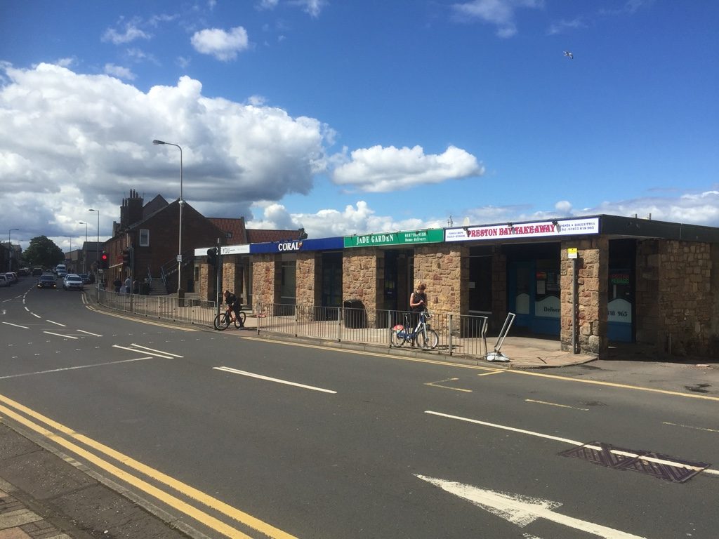
 Photo: Richard Webb · CC BY-SA 2.0
Rivers or the sea put under 0.1% of Prestonpans’s homes at high or medium flood risk
On SEPA’s flood maps, “high or medium” means rivers or the sea reach a home at least once in 200 years on average, mostly as if there were no flood defences. Hazard risk puts Prestonpans at A−: #3 of 11 in East Lothian.
Prestonpans grades A− for hazard risk
Flood risk from rivers and the sea, against Scotland’s towns.
The share of homes at high or medium risk from rivers and the sea, ranked against every Scottish town (SEPA’s maps measure flood risk differently from England’s and Wales’s, so Scottish towns are ranked among themselves): fewer homes at risk is better. Towns with none at high or medium risk are ordered by their share at low risk, so they don’t all share one score. Surface water isn’t graded: the map shows it.
Where the water goes in Prestonpans
Turn layers on and off. SEPA’s flood maps: where rivers and the sea, and heavy rain, can reach. They mostly leave flood defences out.
The river and sea risk follows the town’s rivers.
Under 0.1% of Prestonpans’s homes are at high or medium risk from rivers or the sea
SEPA’s national flood maps, which mostly leave defences out. A further under 0.1% are at low risk.
Share of each Scottish town’s homes at high or medium risk from rivers and the sea. 14% of Scottish towns have none; Prestonpans has more than 18% of towns.
| # | Town | People | High or med. | |
|---|---|---|---|---|
| 1 | Armadale West Lothian | 12,590 | 0% | |
| 2 | Westhill Aberdeenshire | 11,778 | 0% | |
| 3 | Cove Bay Aberdeen City | 7,926 | 0% | |
| … | ||||
| 10 | Stenhousemuir Falkirk | 9,566 | under 0.1% | |
| 11 | Gorebridge Midlothian | 8,900 | under 0.1% | |
| 12 | Prestonpans East Lothian | 10,623 | under 0.1% | |
| 13 | Erskine Renfrewshire | 14,857 | under 0.1% | |
| 14 | Kirkwall Orkney Islands | 7,393 | under 0.1% | |
| … | ||||
| 80 | Stonehaven Aberdeenshire | 11,164 | 13% | |
| 81 | Kilbirnie North Ayrshire | 7,110 | 19% | |
Scottish towns of 7,000 to 15,000 people.
SEPA’s flood maps (2025) for rivers and the sea tested against every address in the town (ONS NSUL), each output area weighted by its Census 2022 households. Rivers and sea can overlap; the worse band counts.
Flood risk in the places around Prestonpans
Share of homes at high or medium and at low risk from rivers and the sea. Tap a town for its page.
| Town | People | High or medium | Low | Hazard |
|---|---|---|---|---|
| Prestonpans | 10,623 | under 0.1% | under 0.1% | A− |
| Cockenzie | 5,237 | 0.6% | under 0.1% | B− |
| Tranent | 12,235 | 1.1% | under 0.1% | C+ |
| Wallyford | 4,493 | 0% | 0% | A |
| Musselburgh | 21,476 | 15% | 3.1% | D− |
| Ormiston | 2,587 | under 0.1% | 0% | A− |
| Longniddry | 2,598 | 2.8% | 0.4% | C− |
| Dalkeith | 15,125 | 0.1% | under 0.1% | B+ |
Musselburgh, 3 miles west, has the most homes at risk around Prestonpans (15% at high or medium). Wallyford has none.
Get ready for what Prestonpans faces
Free warnings, what to do in a cloudburst, and what to check before you move.
- Sign up free to SEPA’s Floodline for flood alerts and warnings by text or call.
- Floodline: 0345 988 1188, 24 hours.
- Surface water rises in minutes, often with no warning issued: stay out of underpasses and dips.
- Keep the gullies and drains outside your home clear of leaves.
- Report a blocked road drain to the council.
- Never walk or drive through floodwater: 30 cm of moving water can float a car.
- Move valuables, papers and medicines upstairs.
- Turn off gas, electricity and water if you’re told to.
- Check the address on SEPA’s flood maps: they show rivers, the sea and surface water.
- Read the Home Report: the seller’s property questionnaire asks whether the home has flooded.
- Homes built before 2009 can get flood cover through Flood Re, the government-backed scheme; newer homes can’t.
What this data can and can’t tell you
- Defences mostly left out. SEPA’s maps show where water can reach as if most flood defences weren’t there, except where its detailed modelling includes a formal scheme. A town behind a defence can look more exposed than it is.
- One town, many streets. Risk is street by street. Check a specific address on SEPA’s flood maps before you buy or rent.
- Scotland is measured differently. SEPA publishes no count of homes at risk, so each address in the town is tested against its map, as in Wales. SEPA’s medium band runs to 1 in 200 years (England’s stops at 1 in 100), and its high band starts at 1 in 10, so Scottish figures lean higher than English ones.
Questions about flooding and hazards in Prestonpans
Does Prestonpans flood?
Under 0.1% of homes are at high or medium risk from rivers and the sea on SEPA’s flood maps, which mostly leave flood defences out. Prestonpans grades A− for hazard risk against Scotland’s towns.
Where can I find flood warnings for Prestonpans?
SEPA issues flood alerts and warnings for Scotland through Floodline: sign up free for texts or calls, or ring 0345 988 1188, 24 hours.
Contains SEPA data © SEPA 2025. Contains OS data © Crown copyright and database right 2026. Contains Royal Mail data © Royal Mail copyright and database right 2026.
Sources: SEPA Flood Maps (2025), river and coastal flood extents at high, medium and low likelihood, tested against every ONS NSUL address point (September 2026) in the locality; Scotland’s Census 2022 households by output area · TownRatings grades: our own summary of the data, ranked against Scotland’s towns only. All under the Open Government Licence v3.0.
Contains public sector information licensed under the Open Government Licence v3.0. Contains HM Land Registry data © Crown copyright and database right 2026. Contains OS data © Crown copyright and database right 2026 (ONS boundaries). Northern Ireland: Source: NISRA; contains Land & Property Services data and Ordnance Survey of Northern Ireland information, © Crown copyright, licensed under the Open Government Licence v3.0. Scotland: contains National Records of Scotland data, Registers of Scotland data and SEPA data, © Crown copyright / © SEPA 2025, licensed under the Open Government Licence v3.0.