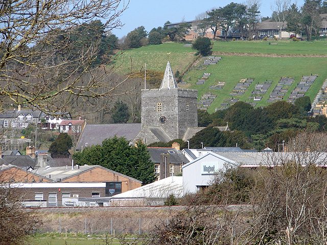
 Photo: OLU · CC BY-SA 2.0
Cool weather for November reaches Llanbadarn Fawr today, at 9 degrees
A typical November day reaches 12°C (53°F) and drops to 6°C (43°F) at night: the forecast for Llanbadarn Fawr is set against that. Expect a dry, breezy day today, the wind reaching 22 mph and the temperature dipping to 5°C (41°F). Rain peaks later in the week on Tuesday, at about 16 mm for the day.
The next 24 hours in Llanbadarn Fawr
The day peaks around 12:00 at 9°C and bottoms out near 08:00 at 5°C. Wettest around 07:00 (1.0 mm in the hour).
The week ahead, against a normal week
The week leans cool against the normals. Tap a day for more.
Today14 NovPartly cloudydry5°9°−3°
Saturday 14 November: Partly cloudy, a high of 9°C (48°F) and a low of 5°C (41°F); no rain expected; wind up to 22 mph.
A normal 14 November in Llanbadarn Fawr: high 12°C, low 6°C.
Tomorrow15 NovHeavy rain10.7 mm rain6°9°−2°
Sunday 15 November: Heavy rain, a high of 9°C (49°F) and a low of 6°C (43°F); 10.7 mm of rain; wind up to 26 mph.
A normal 15 November in Llanbadarn Fawr: high 12°C, low 6°C.
Mon16 NovHeavy rain10.6 mm rain5°7°−4°
Monday 16 November: Heavy rain, a high of 7°C (45°F) and a low of 5°C (40°F); 10.6 mm of rain; wind up to 33 mph.
A normal 16 November in Llanbadarn Fawr: high 12°C, low 6°C.
Tue17 NovLight rain15.6 mm rain8°10°normal
Tuesday 17 November: Light rain, a high of 10°C (51°F) and a low of 8°C (46°F); 15.6 mm of rain; wind up to 26 mph.
A normal 17 November in Llanbadarn Fawr: high 12°C, low 6°C.
Wed18 NovLight rain11.9 mm rain8°10°normal
Wednesday 18 November: Light rain, a high of 10°C (50°F) and a low of 8°C (47°F); 11.9 mm of rain; wind up to 20 mph.
A normal 18 November in Llanbadarn Fawr: high 11°C, low 6°C.
Thu19 NovLight rain3.7 mm rain8°9°−3°
Thursday 19 November: Light rain, a high of 9°C (47°F) and a low of 8°C (46°F); 3.7 mm of rain; wind up to 18 mph.
A normal 19 November in Llanbadarn Fawr: high 11°C, low 6°C.
Fri20 NovSunny0.1 mm rain1°8°−3°
Friday 20 November: Sunny, a high of 8°C (47°F) and a low of 1°C (33°F); 0.1 mm of rain; wind up to 12 mph.
A normal 20 November in Llanbadarn Fawr: high 11°C, low 6°C.
Warnings and more
This page doesn’t repeat official warnings: check the Met Office before travelling in bad weather.
Forecast: Data from MET Norway (Norwegian Meteorological Institute), CC BY 4.0; temperatures converted to °F, wind to mph and times to UK time by us, fetched 14 November, 08:42. Normals: Met Office HadUK-Grid 1991–2020 averages for the town (Contains Met Office data © Crown copyright, Open Government Licence v3.0). Sunrise and sunset are calculated from the town’s position.
Contains public sector information licensed under the Open Government Licence v3.0. Contains HM Land Registry data © Crown copyright and database right 2026. Contains OS data © Crown copyright and database right 2026 (ONS boundaries). Northern Ireland: Source: NISRA; contains Land & Property Services data and Ordnance Survey of Northern Ireland information, © Crown copyright, licensed under the Open Government Licence v3.0. Scotland: contains National Records of Scotland data, Registers of Scotland data and SEPA data, © Crown copyright / © SEPA 2025, licensed under the Open Government Licence v3.0.