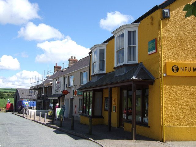
 Photo: ceridwen · CC BY-SA 2.0
More people in Crymych report bad health than its ages would predict
At the 2021 Census, 112 people reported bad or very bad health for every 100 expected from Crymych’s ages at England and Wales’s rates. Crymych has no Health Grade.
What stands out about health in Crymych
The nearest major A&E is a long way off
Glangwili General Hospital is about 17 mi from the village centre in a straight line; the typical UK town’s nearest A&E is 5.8 mi away. Getting care ↓
Written from the Census 2021 and NHS Wales figures on this page.
Care in and near Crymych
The nearest A&E, GP practices, and where to go when it’s urgent but not an emergency. In an emergency, call 999.
| Distance | Hospital |
|---|---|
| 17 mi | Glangwili General Hospital A&E Carmarthen |
| 17 mi | Emi Assessment Unit, Day Hospital & Ect Suite Carmarthen |
| 17 mi | Glangwili Hospital Child Health Section Carmarthen |
| 18 mi | Withybush General Hospital A&E Haverfordwest |
| 18 mi | Care of the Elderly Day Hospital Haverfordwest |
| 18 mi | Withybush Hospital Child Health Section Haverfordwest |
| 18 mi | Bro Cerwyn Day Hospital Haverfordwest |
| 21 mi | Tenby Cottage Hospital Outpatients Tenby |
NHS Wales hospital sites from the NHS Organisation Data Service (October 2026). “A&E” marks the 12 hospitals with a major emergency department; minor injury units aren’t listed. Healthcare Inspectorate Wales inspects Welsh hospitals but doesn’t publish ratings, so none are shown.
No GP practice in Crymych itself
The nearest practices.
| Practice | Distance |
|---|---|
| Ashleigh Surgery Cardigan SA43 1ED | 7.7 mi |
| Cardigan Health Centre Cardigan SA43 1JX | 7.9 mi |
| Newport Surgery Newport SA42 0TJ | 8.4 mi |
| Meddygfa Emlyn Newcastle Emlyn SA38 9NS | 8.9 mi |
GP practices in Wales from the NHS Organisation Data Service (October 2026), placed by postcode. Healthcare Inspectorate Wales doesn’t publish practice ratings. You can register with any practice whose area covers your address.
More people in Crymych call their health good than across Dyfed
Census 2021, all residents, as answered (not adjusted for age).
Adjusted for age, 112 report bad health for every 100 expected, more than the national rate.
Show as a table
| Census 2021 | Crymych | Dyfed | Wales |
|---|---|---|---|
| Good or very good health | 80% | 77% | 78% |
| Fair health | 13% | 16% | 15% |
| Bad or very bad health | 6.8% | 7.4% | 7.1% |
| Disabled under the Equality Act | 20% | 23% | 22% |
| Day-to-day activities limited a lot | 9.4% | 11% | 11% |
Dyfed and Wales: all residents of their built-up areas (towns and cities), from the same Census 2021 output areas.
Health in the places around Crymych
Bad health per 100 expected for each place’s ages, and the nearest A&E. Tap a town for its health page.
| Town | People | Bad health | Nearest A&E | Health |
|---|---|---|---|---|
| Crymych | 778 | 112 | 17 mi | — |
| St Dogmaels | 1,013 | 84 | 22 mi | B− |
| Cardigan | 3,767 | 143 | 22 mi | D |
| Newcastle Emlyn | 1,842 | 133 | 14 mi | C |
| Whitland | 1,907 | 100 | 14 mi | C+ |
| Aberporth | 1,075 | 125 | 21 mi | C− |
What this data can and can’t tell you
- Adjusted for age. A ratio of 100 means as many deaths, admissions or reports of bad health as England’s rates (England and Wales’s for the Census) would give a town with these ages; 120 means a fifth more.
- Small areas, summed to the town. The Census measures are counted for the town’s own output areas.
- Different years. The Census was taken in March 2021. NHS sites are as listed by NHS Wales in October 2026.
- Distances are straight lines. Miles are measured from the town’s centre to each site; the road is longer. For an emergency, call 999; for urgent advice, call NHS 111.
Questions about health in Crymych
Where is the nearest A&E to Crymych?
Glangwili General Hospital in Carmarthen, about 17 mi from the town centre in a straight line. In an emergency call 999; for urgent advice call NHS 111.
How many GP practices are there in Crymych?
There’s no GP surgery inside Crymych itself; the nearest is about 7.7 mi away.
Contains OS data © Crown copyright and database right 2026. Contains Royal Mail data © Royal Mail copyright and database right 2026.
Sources: ONS health state life expectancy for small areas (MSOAs), England and Wales, 2019 to 2023 (life expectancy and healthy life expectancy) · ONS Census 2021 general health and disability, adjusted for age by TownRatings (observed ÷ expected at England and Wales rates) · NHS Organisation Data Service (GP practices and NHS Wales sites, October 2026) · ONS Postcode Directory · TownRatings grades: our own summary of the data, ranked against UK towns only. All under the Open Government Licence v3.0.
Contains public sector information licensed under the Open Government Licence v3.0. Contains HM Land Registry data © Crown copyright and database right 2026. Contains OS data © Crown copyright and database right 2026 (ONS boundaries). Northern Ireland: Source: NISRA; contains Land & Property Services data and Ordnance Survey of Northern Ireland information, © Crown copyright, licensed under the Open Government Licence v3.0. Scotland: contains National Records of Scotland data, Registers of Scotland data and SEPA data, © Crown copyright / © SEPA 2025, licensed under the Open Government Licence v3.0.