 #1
Penyffordd
3,822 peopleScore 66.1·#171 of 1,289 in England, Wales and Northern Ireland
Strongest: health A+, safety A·lowest: walkability D−
Each edition grades its towns against each other only.
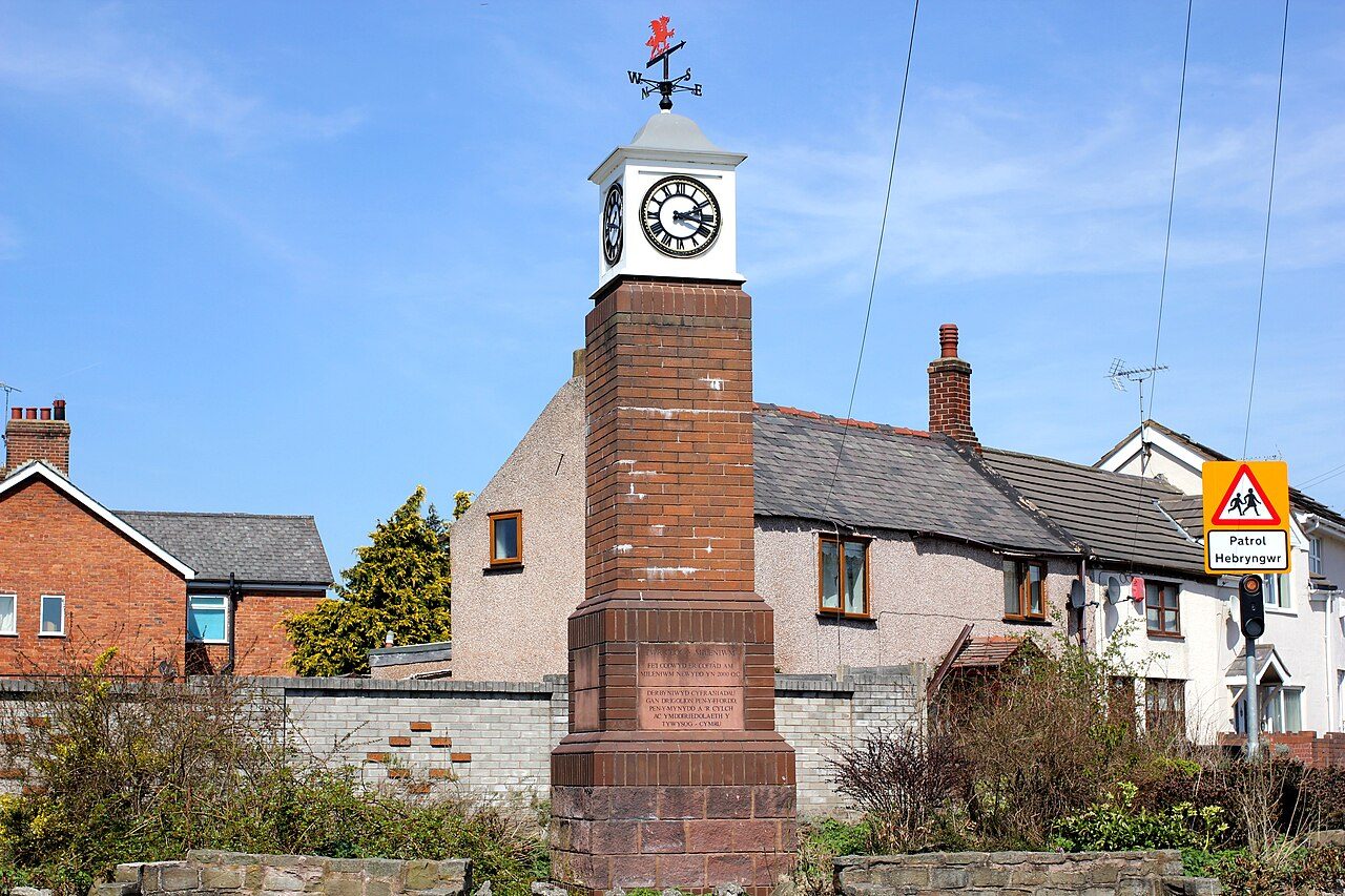
Penyffordd, #1 on this list · Photo: Jeff Buck · CC BY-SA 2.0Penyffordd ranks first of 28 small towns of 2,500 to 9,999 residents in Clwyd, with an A. 4 of the 28 grade A− or better.
The overall score, among towns of 2,500 to 9,999; the letter is the same UK grade every town gets. The rank across England, Wales and Northern Ireland sits beside each letter. How grades work
#1Score 66.1·#171 of 1,289 in England, Wales and Northern Ireland
Strongest: health A+, safety A·lowest: walkability D−
 #2
Score 61.4·#293 of 1,289 in England, Wales and Northern Ireland
Strongest: safety A, hazard risk B·lowest: walkability D
 #3
Score 61.1·#305 of 1,289 in England, Wales and Northern Ireland
Strongest: hazard risk A, jobs & income A−·lowest: walkability D
By overall score; the letter is the same UK grade as on each town’s page. Each rank across England, Wales and Northern Ireland links to the national list. The score (0–100) blends the seven livability grades and sets the order; the letter places that score among UK towns of 2,500+, and A+ is the top 5%, so neighbours on the list often share a letter.
28 towns.
Penyffordd ranks first of 28 (A): health (A+) and safety (A) are its strongest grades; walkability (D−) is its lowest. Mynydd Isa and Aston follow.
By the overall grade, which blends seven livability grades (cost of living, safety, schools, health, jobs & income, walkability, flood risk) from public data, each comparing a town with every UK town. How grades work.
The list covers towns of 2,500 to 9,999 residents with an overall grade. Towns without one are counted above with the reason.
Every list ranks the same 2,500+ towns, so a town’s rank means the same thing on each.
Sources: TownRatings grades: our own summary of the data, ranked against UK towns only. All under the Open Government Licence v3.0.
Contains public sector information licensed under the Open Government Licence v3.0. Contains HM Land Registry data © Crown copyright and database right 2026. Contains OS data © Crown copyright and database right 2026 (ONS boundaries). Northern Ireland: Source: NISRA; contains Land & Property Services data and Ordnance Survey of Northern Ireland information, © Crown copyright, licensed under the Open Government Licence v3.0. Scotland: contains National Records of Scotland data, Registers of Scotland data and SEPA data, © Crown copyright / © SEPA 2025, licensed under the Open Government Licence v3.0.