Windsor Castle
Historic castle, royal residence at Windsor in Berkshire, England, UK.
Each edition grades its towns against each other only.

Horton’s list takes in 6 museums, 6 attractions and 3 gardens. Look within 5 km of its edge for the 22 places to visit; none is inside Horton’s built-up area. Among them, one is cared for by the National Trust. A longer outing takes you to British Museum, 29 km off.
The list goes on from Windsor Castle to 3 gardens, a historic house and an abbey or priory.
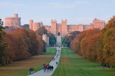 CastleWindsor Castle4.7 km outside town, to the west
 Garden · National TrustRunnymede2.1 km outside town, to the southwest
 Historic houseFrogmore House3.9 km outside town, to the west
 GardenFrogmore Estate4 km outside town, to the west
 GardenSavill Garden4.9 km outside town, to the southwest
 Abbey or priorySt Mary's Priory1.7 km outside town, to the southwest
Each has a page of its own: what it is, who runs it, the weather month by month and what else is near it.
Savill Garden, 6.5 km away, is the farthest on the map.
The dashed line is Horton’s built-up area; orange marks its middle (where most people live). Numbers match the list below. © OpenStreetMap contributors · ONS built-up area 2022
6 castles or historic places and 6 museums or galleries top the count.
Green: inside Horton. Grey: within 5 km of its edge.
1 place is cared for by the National Trust (Runnymede).
All of it lies within 5 km of its edge: 22 places.
Historic castle, royal residence at Windsor in Berkshire, England, UK.
Grade I listed historic house museum in Windsor, United Kingdom.
Private gardens within the grounds of the Home Park, adjoining Windsor Castle in Berkshire, England, UK.
Local museum in Berkshire, England, United Kingdom.
Museum in Windsor, England, United Kingdom.
Close and well known first. Churches and listed buildings are on the History page, not here.
5 listed buildings are on Horton’s History page → · Parks, footpaths and green space in Horton →
British Museum, at 29 km, heads the 12 day trips.
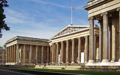 Big drawMuseumBritish Museum29 km east · 5.8M visitors a year (2023)
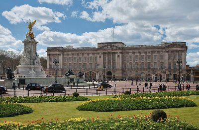 Historic houseBuckingham Palace27 km east
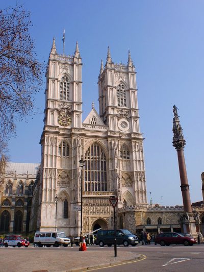 Cathedral · English HeritageWestminster Abbey28 km east
 Big drawCastleTower of London32 km east · 2.7M visitors a year (2016)
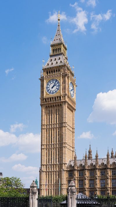 AttractionElizabeth Tower29 km east
 Historic house · Historic Royal PalacesHampton Court Palace16 km southeast
 Big drawArt galleryNational Gallery28 km east · 709K visitors a year (2021)
 GardenKew Gardens17 km east
 AttractionLondon Eye29 km east
 Big drawMuseumVictoria and Albert Museum25 km east · 858K visitors a year (2021)
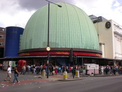 MuseumMadame Tussauds27 km east
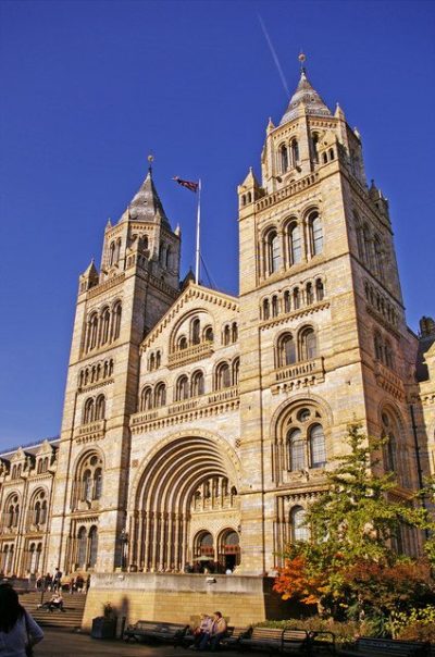 Big drawMuseumNatural History Museum25 km east · 1.6M visitors a year (2021)
Places well known beyond Horton (Wikipedia articles in several languages, published visitor counts, or a National Trust, English Heritage or Cadw property), close and famous first. Distances are straight lines from the middle of the town.
No attraction is mapped inside Horton itself. Within 5 km of it are Windsor Castle, Runnymede, Frogmore House and Frogmore Estate.
6 museums and galleries are in or within 5 km of Horton: Windsor & Royal Borough Museum, Egham Museum, Spelthorne Museum and Berkshire Yeomanry Museum.
Yes. In or within 5 km of Horton, 1 place is cared for by the National Trust (Runnymede).
Within 40 km: British Museum (29 km), Buckingham Palace (27 km), Westminster Abbey (28 km), Tower of London (32 km).
Horton has 5 listed buildings. They are on its History page, from Historic England’s list, not repeated here.
From OpenStreetMap (museums, galleries, zoos, theme parks and attractions, castles, forts and abbeys, and historic houses and gardens that are open to visitors) and Wikidata (what each place is, who runs it, its website and visitor counts). A place counts for Horton when it is inside the ONS 2022 built-up area, and as nearby within 5 km of its edge. Opening times and prices are not shown: check the official site.
Places: OpenStreetMap (© OpenStreetMap contributors, Open Database Licence) and Wikidata (CC0), placed in the ONS 2022 built-up area (Open Government Licence v3.0). Visitor counts are the latest Wikidata gives, with their year.
Photos: each place’s Wikidata image, from Wikimedia Commons under the licence below (our copy, resized).
Contains public sector information licensed under the Open Government Licence v3.0. Contains HM Land Registry data © Crown copyright and database right 2026. Contains OS data © Crown copyright and database right 2026 (ONS boundaries). Northern Ireland: Source: NISRA; contains Land & Property Services data and Ordnance Survey of Northern Ireland information, © Crown copyright, licensed under the Open Government Licence v3.0. Scotland: contains National Records of Scotland data, Registers of Scotland data and SEPA data, © Crown copyright / © SEPA 2025, licensed under the Open Government Licence v3.0.
 7
 8