
M5 Stuart, 2010
South Houston’s story
118 years in pictures
Census counts: 612 in 1930, 16,153 in 2020. The archive holds 4 old photos and papers going back to 2010 and 5 maps from 1915 on.
- 1908South Houston is settled
Each edition grades its towns against each other only.
A tough set of grades. Safety is its weak spot — it reports more crime per resident than 89% of U.S. towns, including 83 violent crimes reported to the FBI in 2025. Health is weaker too (D): residents are less healthy than 87% of U.S. towns on CDC estimates. Homes run about $188K for a typical one, 2.3 times the Houston metro’s $82K median household income. Where it does best is walkability: it is more walkable than 62% of U.S. towns. The overall grade lands at D−, 603rd of 640 in Texas. On that grade it does better than 4% of U.S. towns. South Houston's civic life (library use, community groups, volunteering) trails 100% of U.S. towns.
Figures: FBI crime data, 2025 · health, CDC PLACES · home values, Zillow · incomes, Census ACS, 2020–24.
Where South Houston’s working residents go each day. Line width shows the share.
Census LEHD 2023
Each subject compared with towns across the country (schools within Texas), ordered by how far South Houston is from typical.
How TownRatings grades towns →
Census counts: 612 in 1930, 16,153 in 2020. The archive holds 4 old photos and papers going back to 2010 and 5 maps from 1915 on.
Museums, parks, gardens and other places to visit around South Houston. Close and well known come first.
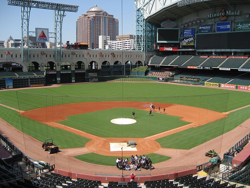 Big draw10 mi Stadium & arenaDaikin Park
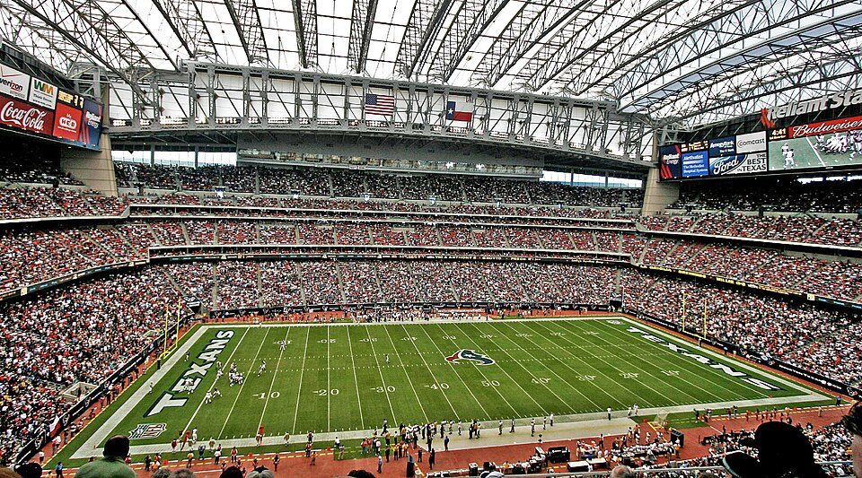 Big draw11 mi Stadium & arenaReliant Stadium
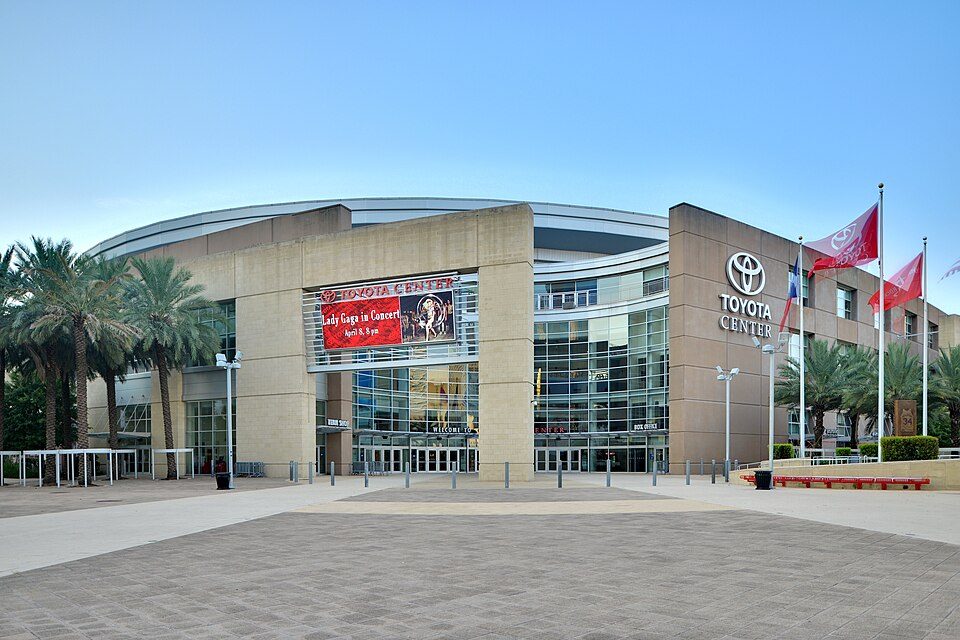 10 mi Stadium & arenaToyota Center
 11 mi MuseumRothko Chapel
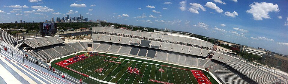 8 mi Stadium & arenaTDECU Stadium
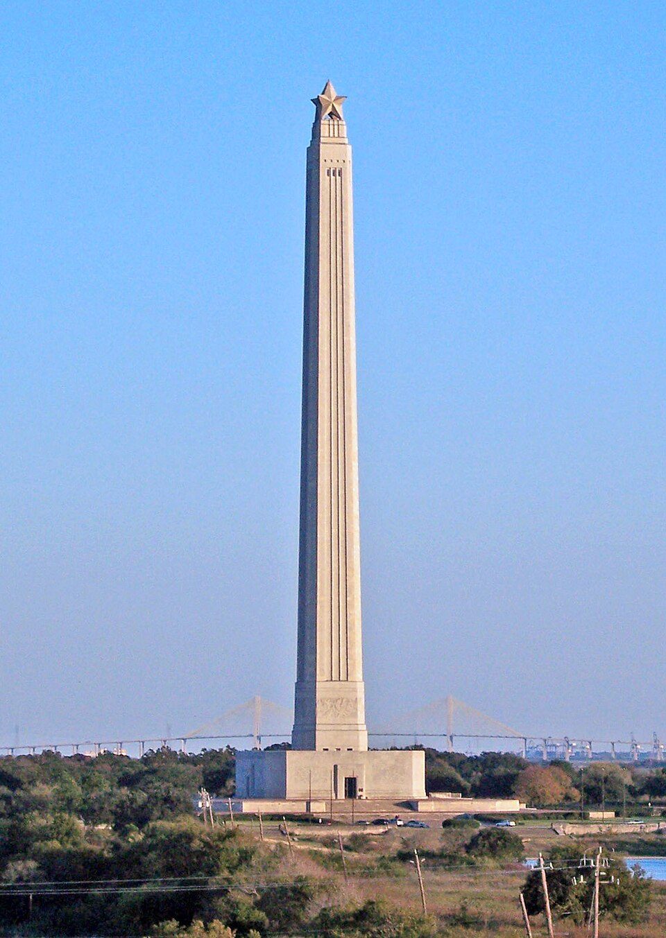 11 mi LandmarkSan Jacinto Monument
Daikin Park: Delaywaves, CC BY 3.0 · Reliant Stadium: User eschipul on Flickr, CC BY-SA 2.0 · Toyota Center: Ed Uthman from Houston, TX, USA, CC BY 2.0 · Rothko Chapel: Unknown, Public domain · TDECU Stadium: Brian Reading, CC BY-SA 4.0 · San Jacinto Monument: Tijuana Brass at English Wikipedia, Public domain
Who provides power, water and the rest in South Houston, and how to reach them.
EPA SDWIS (Oct 9, 2026) · HIFLD + EIA-861 2025 · Census 2020 ZCTAs · NCES 2024–25 · registration: vote.gov, updated Nov 18, 2024.
Ordered by what stands out in South Houston.
South Houston has homes that are cheap against local pay and has milder winter nights than nearly all U.S. towns, but it has poverty well above the Texas rate.
Reported crimes fell from 505 to 409 over the last three FBI years, a drop beyond ordinary year-to-year swings.
South Houston’s violent crime rate comes in at 5.1 per 1,000 residents. In South Houston, the property crime rate is 20.2 per 1,000 residents, against 10.7 in Texas’ towns and 9.9 across U.S. towns.
| South Houston | Texas towns | U.S. towns | |
|---|---|---|---|
| Violent crimes per 1,000 (2025) | 5.1 per 1,000 residents | 1.9 | 1.6 |
| Property crimes per 1,000 (2025) | 20.2 per 1,000 residents | 10.7 | 9.9 |
FBI crime data, 2025 · crimes reported to police
Two of its 4 schools are shown below, with the reason for each. The largest public high school is South Houston H S, with 2,185 students. Pasadena ISD runs its public schools.
| School | Level | Students | Letter |
|---|---|---|---|
| South Houston IntLargest public middle schoolGrades 7–8 | Grades 7–8 | 509 | C |
| South Houston H SLargest public high schoolGrades 9–12 | Grades 9–12 | 2,185 | B |
NCES · EDFacts · graded within TX on state tests and graduation
In South Houston, 32% of adults say their health is fair or poor, where Texas’ towns sit at 24% and U.S. towns at 19%. 17% of South Houston adults have diabetes. Also worth knowing: the town beats the Texas average on 2 of 31 CDC measures and trails it on 20.
| South Houston | Texas towns | U.S. towns | |
|---|---|---|---|
| Food insecurity (CDC PLACES) | 34% | 20% | 14% |
| No health insurance, 18–64 (CDC PLACES) | 40% | 18% | 8.1% |
| Fair or poor health (CDC PLACES) | 32% | 24% | 19% |
| Yearly checkup (CDC PLACES) | 70% | 74% | 79% |
| What stands out | South Houston | TX |
|---|---|---|
| Fewer adults who have had cancer | 4.2% | 6.1% |
| Fewer adults with arthritis | 19.2% | 21.6% |
| More uninsured adults | 39.8% | 19.1% |
CDC PLACES 2025 · modeled estimates for adults · CMS · HRSA
At 2.3 years of the Houston metro’s $82K median household income, the typical home (about $188K) costs less against local pay than in 87% of Texas towns; that ratio is one input to that grade. The typical value, about $188K, is 8% below its November 2022 peak.
Over the 12 months to September 2026, the typical home lost 2.4% of its value. The share of households in South Houston who own their home: 55%.
| South Houston | Texas towns | U.S. towns | |
|---|---|---|---|
| Households that own their home | 55% | 69% | 73% |
| Median rent | $1,212 a month | $1,206 a month | $1,185 a month |
Census ACS, 2020–24 · Zillow Home Value Index · Redfin Data Center
The median commute is under 12 miles. Employers in South Houston shed 418 jobs between 2013 and 2023, to 3,574. Commuting out is the norm here: 4% of working residents work locally. 26% of residents live below the poverty line locally.
| South Houston | Texas towns | U.S. towns | |
|---|---|---|---|
| Below the poverty line | 26% | 12% | 9.6% |
| Average trip to work | 31 minutes | 25 minutes | 25 minutes |
| Median household income | $53,000 | $69,000 | $80,000 |
| Working residents who work in town | 4.1% | 8.3% | 8% |
Census LEHD 2023 · ACS
1,042 flood insurance claims have been filed here, and 94 properties have flooded more than once.
Expected damage from storms and floods is higher here than in just over three quarters of U.S. communities. 1,042 flood insurance claims have been paid in South Houston since 1978. Of the losses FEMA expects locally, 46% come from inland flooding and 23% from hurricanes.
FEMA flood insurance claims · FEMA National Risk Index · OpenFEMA
January nights average 44.8°, milder than in 97% of U.S. towns; July afternoons average 92.5°.
Snow is almost unheard of. South Houston’s January low stands at 45°F.
| South Houston | Texas towns | U.S. towns | |
|---|---|---|---|
| January low | 45°F | 37°F | 22°F |
| July high | 93°F | 95°F | 85°F |
NOAA U.S. Climate Normals, 1991–2020
Count the trails in 3 parks and preserves and they come to 0.8 miles. In South Houston, the concentration of trails is 0.3 miles per square mile.
| South Houston | Texas towns | U.S. towns | |
|---|---|---|---|
| Conserved land | 2.2% | 1.9% | 4.3% |
| Miles of trail per square mile | 0.3 miles per square mile | 0.3 | 0.4 |
| Biggest places to walk | Trails | Acres |
|---|---|---|
| 1. City Park | 0.1 mi | 9 |
| 2. Cristy Park | — | 9 |
| 3. South Houston City Park | — | 2 |
Trails & parks © OpenStreetMap contributors · Conserved land: USGS PAD-US
14 within 15 miles of the center of South Houston
About 5 of every 100 South Houston residents are enrolled in college, about the same as Texas.
2 towns share a border with South Houston.
| Town | TX rank | Overall | Cost | Safety | Schools | Health |
|---|---|---|---|---|---|---|
| South Houston | #603 | D− | B− | D | C | D |
| Houston | #606 | D− | C− | D− | C− | C+ |
| Pasadena | #562 | D | C+ | D | C | C− |
Short answers, built from the data on this page.
South Houston grades D− overall, better than 4% of U.S. towns and #603 of 640 in Texas. It grades D for health, D for safety and C for schools. Safety is its weak spot, with a D.
Cost of living, which also weighs rents, property taxes and how many households pay 30% or more of their income for housing, grades B−.


