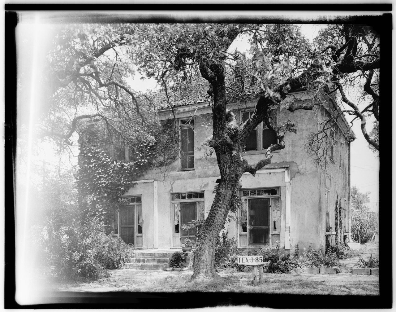
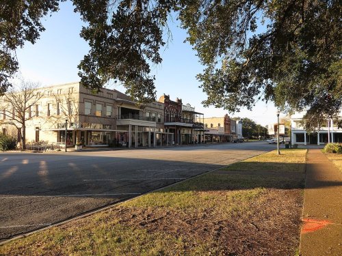
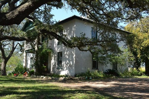
8 places in town are on the National Register, among them the Presidio Nuestra Senora de Loreto de la Bahia, a National Historic Landmark, and two historic districts with 48 buildings between them. Below: 6 old photos and papers from 1906 on and old-book passages.
Founding year: Wikidata. First post office: 1829.The full story ↓
History grade
What drives Goliad’s History grade
On its age, its old homes and the National Register, Goliad is more historic than 94% of U.S. towns. All 3 inputs are above most U.S. towns; its age ranks highest and its share of homes from before 1940 lowest.
A
HistoryA character grade: shown, never part of Goliad’s overall grade.
Few Texas towns list much on the Register (a typical Texas town has 0.0 per 10,000 residents, the U.S. 2.4), so Goliad’s 351 sits above most of its state (99% of Texas towns have fewer) while its 58 historic buildings outnumber those of 86% of U.S. towns.
NoteThe founding year comes from Wikidata alone; no second source gives 1749.
How sure. Graded on any two of the three inputs instead, the letter would range from A− to A+. The pre-1940 share is a Census survey estimate (±6.0 points).
Founding year: Wikidata (other dates in Quick answers). Homes: Census ACS 2020–24. National Register: National Park Service, May 2026 list; each listing counted once (boundary changes and added documentation belong to their listing), and a historic district counts its contributing buildings. How TownRatings grades history →
What stands out about Goliad’s past
Read from the archive, the National Register and the record. The page puts what stands out first.
In 1747, the Spanish government sent José de Escandón to inspect the northern frontier of its North American colonies, including Spanish Texas. In his final report, Escandón recommended the Presidio La Bahía be moved from its Guadalupe River location to the banks of the San Antonio River, so it could better assist settlements along the Rio Grande. Both the presidio and the mission that it protected, Mission Nuestra Señora del Espíritu Santo de Zúñiga, moved to their new location sometime around October 1749. Escandón proposed that 25 families from New Spain be relocated near the presidio to form a civilian settlement, but he could not find enough willing settlers.
Passages that mention Goliad, cut from the printed page as they were published.
The story of an escape from the massacre at Goliad1900 · page 20Read the page →
Read the text
Goliad is situated on the south side of the San Antonio river, about forty miles above its mouth, and ninety-five miles below the city of San Antonio. The American town of Goliad, built up since the war, is situated nearly opposite the old town, on the north side of the river. After the defeat of Santa Anna, the great majority of the inhabitants of the old town abandoned the place and went to Mexico. When I last saw it, in 1877, its population had dwindled down tq one or two hundred miserable “peons” and most of the
Text read by machine from the scan; it may contain errors.
but he was glad that the others did not. Young Urrea rode up by the side of him and said: “Well, you and your comrades have now arrived at our good town of Goliad. You should be glad that your lives have been spared, because you are rebels and you deserve death. But great is the magnanimity of our most illustrious president and general, Antonio Lopez de Santa Anna.”
Text read by machine from the scan; it may contain errors.
The story of an escape from the massacre at Goliad1900 · page 48Read the page →
Read the text
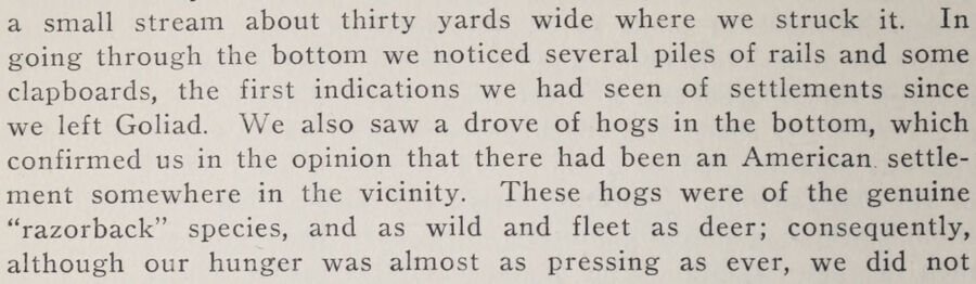
a small stream about thirty yards wide where we struck it. In going through the bottom we noticed several piles of rails and some clapboards, the first indications we had seen of settlements since we left Goliad. We also saw a drove of hogs in the bottom, which confirmed us in the opinion that there had been an American, settlement somewhere in the vicinity. These hogs were of the genuine “razorback” species, and as wild and fleet as deer; consequently, although our hunger was almost as pressing as ever, we did not
Text read by machine from the scan; it may contain errors.
ham had come from Fannin, and the whole place was filled with new hope. As Ned reckoned, it was about one hundred and fifty miles from San Antonio de Bexar to Goliad; but, according to Bonham, Fannin had already been five days on the way, and they should hear soon the welcome thunder of his guns. He eagerly scanned the southeast, in which direction lay Goliad, but the only human beings he saw were Mexicans. No sound came
Text read by machine from the scan; it may contain errors.
Scans and text from the Internet Archive. Books published in 1930 or earlier, which are in the public domain.
By decade
Goliad, decade by decade
2 decades in the archive, from the 1900s to the 1930s. Scroll each row; tap a photo for its story.
Nothing in the archives for these yearsWeddings on Main Street, storms, parades, school pictures, the old store. If it’s in your family album, it belongs here.
In 1749, according to Wikidata. Goliad’s post office opened in 1829.
How does Goliad rank for history?
Goliad is more historic than 94% of U.S. towns. The History grade combines the town’s founding era, the share of homes built before 1940 and its National Register listings. It’s a character grade, so it isn’t part of the overall grade. How it works.
What is on the National Register in Goliad?
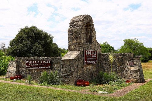
8 listings: 6 buildings, among them the Presidio Nuestra Senora de Loreto de la Bahia (a National Historic Landmark since 1967), and 2 historic districts, the Goliad County Courthouse Historic District and the Goliad State Park Historic District, with 48 contributing buildings. 58 historic buildings in all.
How old are the homes in Goliad?
15% of Goliad’s homes were built before 1940 (Census estimate, ±6.0 points), against a typical 1.6% for a Texas town; the median home was built in 1970.
Founding dates: Wikidata, Wikipedia, the U.S. post office records of Blevins & Helbock (CC0) and the Census. Homes by year built: Census ACS 2020–24. National Register of Historic Places: National Park Service (list of May 22, 2026). Old photos, postcards and papers: Wikimedia Commons, the Library of Congress and other public archives, credited on each item’s page. Maps: U.S. Geological Survey historical topographic maps (via Esri) and Sanborn fire-insurance maps (Library of Congress). History text and census tables: Wikipedia (CC BY-SA 4.0). Places that used to be: USGS Geographic Names Information System (2021).
From Wikimedia Commons (6), the National Register of Historic Places (8), Wikipedia, Wikidata and Wikipedia for famous people, the US Post Offices dataset (Blevins & Helbock), the USGS Geographic Names Information System and old county and town histories (Internet Archive). Archive images are copied here with their credits and licenses, shown on each photo’s page. Refreshed monthly.


 ★ Landmark






 1936
 1936
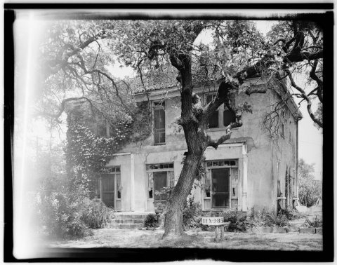 1936
 1936