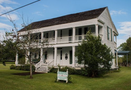
East Columbia’s post office opened in 1927, and 2 of its places are on the National Register
Most of East Columbia was built recently: 0.0% of its homes predate 1940 and the median home dates from 1989. 2 places in town are on the National Register, among them a historic district with 11 buildings. Below: maps from 1952 on.
The East Columbia post office opened in 1927, the earliest record of the town by name. Two smaller post offices, Columbia (1835) and Marmion (1925), opened inside today’s town and later closed.
2020 census: 12899 years
Founding year: the first East Columbia post office (Blevins & Helbock, CC0).The full story ↓
What stands out about East Columbia’s past
Read from the archive, the National Register and the record. The page puts what stands out first.
The community was founded in 1824 by Josiah Hughes Bell. A native of South Carolina, Bell came to Texas with Stephen F. Austin's Old 300 colony in 1821. Bell built a landing of log-lines docks and timbered stops on the Brazos River, just below Varner's Creek. Bell laid out the town and called it Marion. Bell sold the townsite to Walter C. White in 1827. By the mid-1800s, the town had a population of 800. The arrival of the railroad in the area led to the decline of steamboat traffic, which had an adverse effect on the town's fortunes. Storms in 1900, 1909, and 1913 were destructive to the community. When oil was discovered in West Columbia in 1918, merchants abandoned East Columbia. By the 1970s, the town's post office had already closed and its population had decreased substantially.
Every edition of the U.S. Geological Survey’s map of East Columbia. Tap a year, or press play to watch the town change.
1952East Columbia sheet · 1:24,000
U.S. Geological Survey historical topographic maps (public domain), via Esri’s collection of the scans. The red ring marks the center of East Columbia.
On the National Register
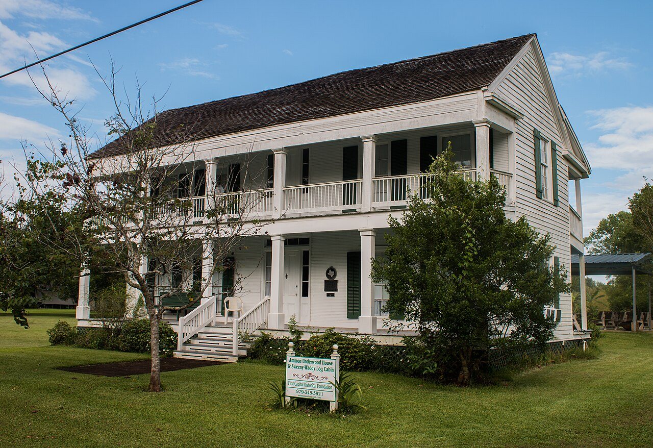
2 listings protect 12 historic buildings
The country’s official list of buildings and places worth saving.
Founding dates: Wikidata, Wikipedia, the U.S. post office records of Blevins & Helbock (CC0) and the Census. Homes by year built: Census ACS 2020–24. National Register of Historic Places: National Park Service (list of May 22, 2026). Old photos, postcards and papers: Wikimedia Commons, the Library of Congress and other public archives, credited on each item’s page. Maps: U.S. Geological Survey historical topographic maps (via Esri) and Sanborn fire-insurance maps (Library of Congress). History text and census tables: Wikipedia (CC BY-SA 4.0). Places that used to be: USGS Geographic Names Information System (2021). How TownRatings grades history →
From Wikimedia Commons (6), the National Register of Historic Places (2), Wikipedia, U.S. Geological Survey historical maps, the US Post Offices dataset (Blevins & Helbock) and the USGS Geographic Names Information System. Archive images are copied here with their credits and licenses, shown on each photo’s page. Refreshed monthly.


 2016
 2016
 2016
 2016
 2016
 2015