Guest, Sign inJoin

Post to Bolivar Peninsula

We’ll email a one-tap link to publish your post. No password, and nothing is public until you click it.
Already a member? Sign in
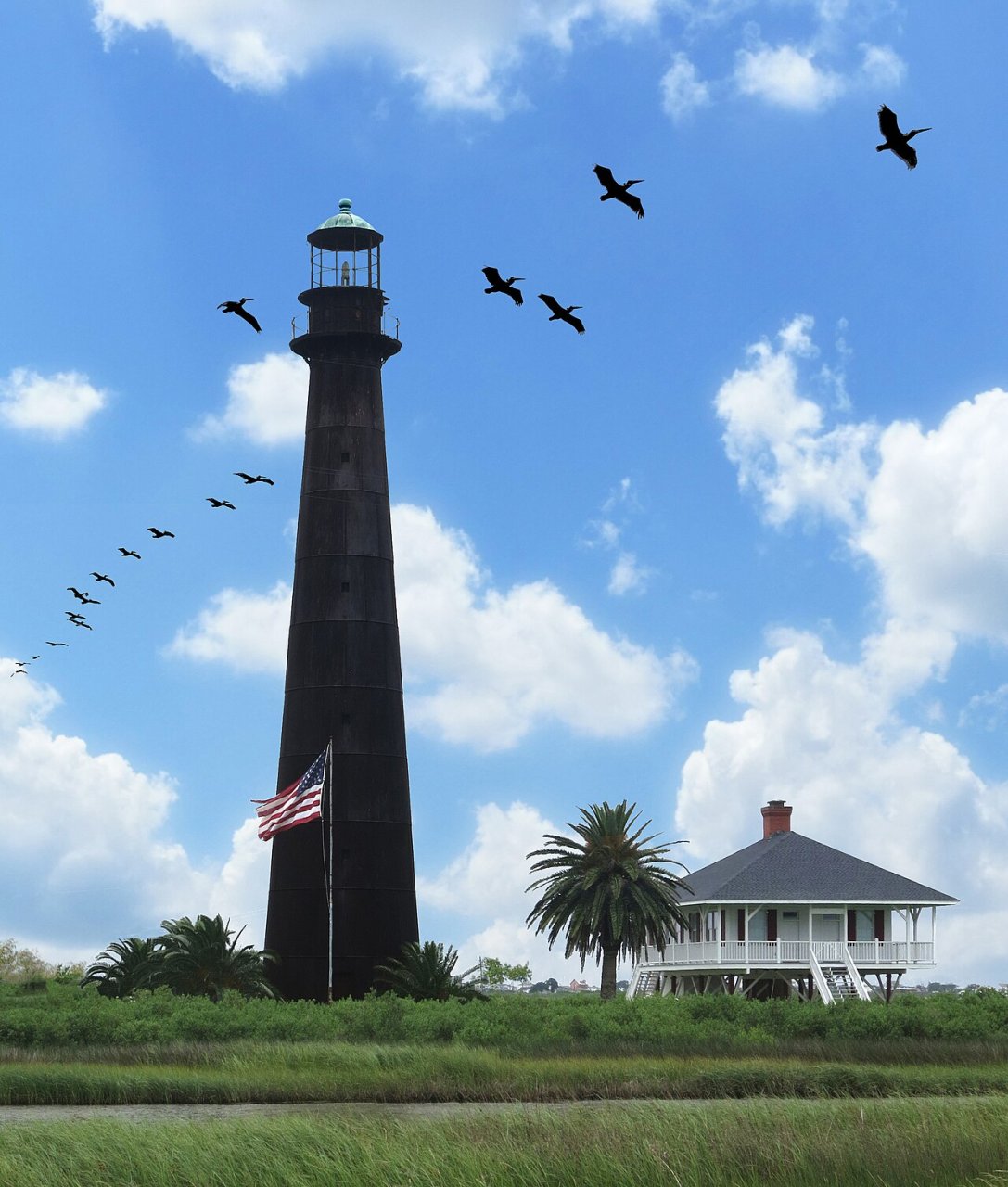
Bolivar Lighthouse -- Point Bolivar, Galveston, Texas
Texas›Galveston County

Bolivar PeninsulaTX

A town of 2,951. Home to 2 places on the National Register of Historic Places.

Photo: Jim Evans · CC BY-SA 4.0
Photo of Bolivar Peninsula

Bolivar Peninsula, TX · Photo: Jim Evans · CC BY-SA 4.0 · Source ↗

Is Bolivar Peninsula a good place to live?

Bolivar Peninsula grades D− overall, 623rd among Texas's 640 graded towns, mostly because of incomes. The median household income is $76K, and 12% of residents live below the poverty line. What it does well: it has 11 miles of trail. Bolivar Peninsula’s average trip to work is 53 minutes, where Texas’ towns sit at 25 minutes and U.S. towns at 25 minutes. On hazard risk, just 30 of Texas’ 1,000 towns do worse. Most errands need a car: it is less walkable than 88% of U.S. towns.

What makes Bolivar Peninsula stand out

Where Bolivar Peninsula beats most towns.

By the sea

Bolivar Peninsula lives by the ocean

Coastal flooding makes up 24% of the storm damage FEMA expects here.

37.1% of homes are seasonal or vacation homes, so the town is fuller in summer than its census count suggests.

24%of expected storm damage is coastal flooding
100thpercentile for coastal flood risk nationally
3,972paid flood-insurance claims since 1979
2storm & flood disasters paid out here
On the water
  • Fort Travis Seashore Park
  • Horseshoe Marsh Bird Sanctuary
  • Bolivar Flats Shorebird Sanctuary

FEMA National Risk Index · OpenFEMA · OpenStreetMap

How Bolivar Peninsula grades

Each subject compared with towns across the country (schools within Texas), ordered by how far Bolivar Peninsula is from typical.

How grading works
Character Graded, but not part of the overall grade.
Described, not graded Taste, not quality: snow or an older crowd is neither good nor bad.

How TownRatings grades towns →

Point Bolivar Lighthouse
Point Bolivar Lighthouse · National Register of Historic Places
Bolivar Peninsula’s story

Bolivar Peninsula in pictures

Census counts: 3,853 in 2000, 2,769 in 2020. The archive holds 12 old photos and papers going back to 1863 and 6 maps from 1931 on.

2 places on the National Register of Historic Places.

Explore the history →
Getting set up

Moving to Bolivar Peninsula: who provides what

Bolivar Peninsula is unincorporated, so Galveston County and regional agencies provide most services.

PowerEntergy Texas13.9¢/kWh · EIA 2025HIFLD · EIA
WaterBolivar Peninsula SUDNo health-based violations in 5 years · EPAEPA
Internet5 providers52% of addresses get 100/20 MbpsFCC
Trash & county servicesGalveston CountyGalveston County provides services here
SchoolsHigh Island Independent School DistrictGalveston Independent School District2 districts serve Bolivar Peninsula; which school depends on your address and gradeNCES
Register to voteIn personTexas has no online registration; you can register in person until 30 days before Election Day or by mail (postmarked 30 days before).vote.gov
Who runs elections hereGalveston County Early Voting ClerkGalveston County; contacts on the Handbook page.FVAP, Jun 2025
ZIP codes77650, 77623, 7761777650 83% · 77623 12% · 77617 5%Census 2020

EPA SDWIS (Oct 9, 2026) · HIFLD + EIA-861 2025 · Census 2020 ZCTAs · NCES 2024–25 · registration: vote.gov, updated Nov 18, 2024.

The data

Ordered by what stands out in Bolivar Peninsula.

Bolivar Peninsula has a longer frost-free season than nearly all U.S. towns, but it carries more natural-hazard risk than most of Texas (mostly inland flooding) and has commutes longer than most of Texas.

SchoolsC

On state tests, Bolivar Peninsula’s schools trail 67% of Texas districts

Its two schools are below. The public schools here belong to High Island ISD. 2 public schools serve Bolivar Peninsula, with 263 students in all.

33%of TX districts it outscoresCSchool Grade
SchoolLevelStudentsLetter
Crenshaw El and MiddleLargest public elementary schoolGrades PK–8Grades PK–8131C
High Island SchoolLargest public high schoolGrades PK–12Grades PK–12132B

NCES · EDFacts · graded within TX on state tests and graduation

Natural hazardsHazard risk grade D

In Bolivar Peninsula, the FEMA risk score runs higher than in the typical Texas or U.S. town

FEMA rates its natural-hazard risk higher than 98% of Texas towns, with expected losses of about $1,435 per resident a year; that rating is what its D for hazard risk is built on.

Of the losses FEMA expects in Bolivar Peninsula, 31% come from inland flooding and 24% from coastal flooding. The national flood insurance program has paid 3,972 claims locally since 1979. Federal aid has come to Bolivar Peninsula households in 2 declared disasters; the latest was in 2024.

84risk score of 100
FEMA risk score
84Very high riskLowerHigher
Inland floodingCoastal floodingHurricanes
3,972
paid flood claims since 1979
2
federal disasters paid out here

FEMA disaster declarations and aid · FEMA flood insurance claims · FEMA National Risk Index · OpenFEMA

HealthC

Bolivar Peninsula stands out in Texas and nationally: a larger share of its adults have high blood pressure

For adults in Bolivar Peninsula, the share who have diabetes is 17%. Against the Texas average, Bolivar Peninsula comes out ahead on 10 CDC measures out of 31, and behind on 10.

26%healthier than U.S. townsCHealth Grade
Bolivar PeninsulaTexas townsU.S. towns
High blood pressure (CDC PLACES)47%35%35%
Diabetes (CDC PLACES)17%13%12%
Frequent physical distress (CDC PLACES)17%15%14%
Yearly checkup (CDC PLACES)80%74%79%
31 measures vs. Texas
10 better11 too close to call10 worse
What stands outBolivar PeninsulaTX
Fewer uninsured adults11.9%19.1%
Fewer adults facing housing insecurity11.5%16.4%
More adults who have had cancer11.6%6.1%
Bayside Community Hospital
19.5 mi away · emergency room
2 of 3
care shortages: primary care, mental health
39th
percentile among TX towns

CDC PLACES 2025 · modeled estimates for adults · CMS · HRSA

OutdoorsB

Open space protected for good: 19.7% of Bolivar Peninsula

The biggest park or preserve is Bolivar Flats Shorebird Sanctuary, at 1,555 acres. Parks and preserves in Bolivar Peninsula: 12, covering 5,491 acres. The trail density here is 0.2 miles per square mile.

#309for trails in TX
19.7%
conserved · 6,052 of 30,723 acres
11 mi
of trails · 0.2 per sq mi
Biggest places to walkTrailsAcres
1. Smith Oaks Bird Sanctuary1.4 mi152
2. Jocelyn Nungaray National Wildlife Refuge South Unit1 mi1,512
3. Louis B. Smith Boy Scout Woods Bird Sanctuary0.6 mi55

Trails & parks © OpenStreetMap contributors · Conserved land: USGS PAD-US

Climate

Mild winters and hot summers: that is Bolivar Peninsula’s year

The Anahuac weather station, 21 miles away, records that the frost-free season runs about 302 days, longer than in 97% of U.S. towns. January nights average 46.4°, milder than in 97% of U.S. towns; July afternoons average 89.4°.

Snow is a rarity. The town’s January low stands at 46°F. Only one of the 642 Texas towns we compare has a lower typical July afternoon high than Bolivar Peninsula.

90°summer high
Bolivar PeninsulaTexas townsU.S. towns
January low46°F37°F22°F
July high89°F95°F85°F

Typical low → high °F

Winter48–63°
Spring63–76°
Summer77–89°
Fall65–79°
+1.3°
vs. the 20th-century average
90°
typical summer high

NOAA U.S. Climate Normals, 1991–2020

Work & commuteJobs & income grade C−

About one in seven working residents works right in Bolivar Peninsula

The average commute for its 622 working residents takes 52.5 minutes, against 26.7 across Texas. Jobs based here grew from 383 in 2013 to 604.

The top destinations are Houston (27%), Galveston (7%) and Pasadena (3%). Most people who work leave Bolivar Peninsula to do it: just 14% work in town. Between 2013 and 2023, jobs here rose by 221, to 604. Half of commuters travel less than 50 miles.

14%work in town
Bolivar PeninsulaTexas townsU.S. towns
Working residents who work in town14%8.3%8%
Median household income$76,000$69,000$80,000

Where working residents work

In Bolivar Peninsula14%
Houston27%
Galveston7%
Pasadena3%
Dallas3%
50 mi
median commute distance
604
jobs based in Bolivar Peninsula
Balanced
jobs vs. working residents
D
Walkability grade: more walkable than 12% of U.S. towns

Census LEHD 2023 · ACS

HousingCost of living grade C

A home in Bolivar Peninsula sells for about $420K at the median

On the market in Bolivar Peninsula: a median 91 days to sell. 95% of Bolivar Peninsula households are owner-occupiers. Also worth knowing: homes in Bolivar Peninsula sold for 92.3% of their list price on average.

$420Kmedian sale price
Market temperature
Buyer’s marketA buyer's marketBuyer’sSeller’s
91
days on market
92.3%
sale-to-list price
17
homes sold in May

Census ACS, 2020–24 · Zillow Home Value Index · Redfin Data Center

Nearby attractions

Galveston Island Historic Pleasure Pier and 14 more within 40 miles

Museums, parks, gardens and other places to visit around Bolivar Peninsula. Close and well known come first.

All 61 attractions →
Sources: National Park Service · ski areas © OpenSkiMap / OpenStreetMap contributors · Wikidata · Wikipedia readership · photos via Wikimedia Commons
Photo credits

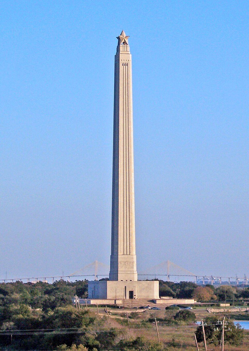
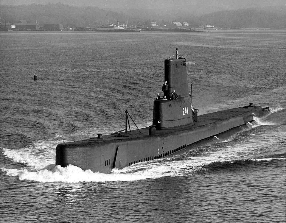
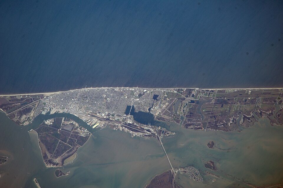
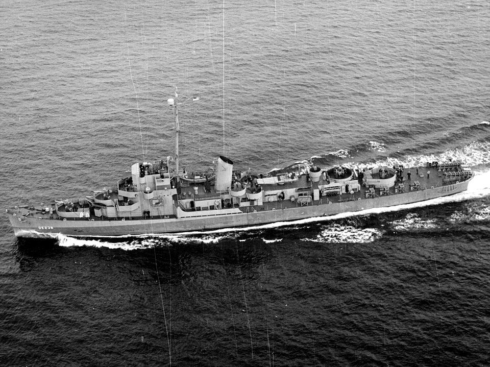
Galveston Island Historic Pleasure Pier: Matthew T Rader, CC BY-SA 4.0 · San Jacinto Monument: Tijuana Brass at English Wikipedia, Public domain · USS Cavalla: USN photo courtesy of http://ussubvetsofwwii.org. Photo i.d. courtesy of Chuck N, Public domain · Galveston Island: NASA, Public domain · Space Center Houston: Shujianyang, CC BY 4.0 · USS Stewart: Unknown, Public domain

Keep exploring

Everything we know about Bolivar Peninsula

17pages on Bolivar Peninsula
After high school

Colleges nearby

None within 15 miles of Bolivar Peninsula; the nearest are

A growing town

Bolivar Peninsula has grown 15% from 2010 to 2020

2,417 counted in 2010 and 2,769 in 2020.

2,4172010
2,7692020

U.S. Census 2010 & 2020 counts

Landmarks

2 places in Bolivar Peninsula on the National Register of Historic Places.

All landmarks →

About Bolivar Peninsula

Census-designated place in Texas, United States

Bolivar Peninsula ( BOL-i-vər) is a census-designated place (CDP) in Galveston County, Texas, United States. The population was 2,769 at the 2020 census. The communities of Port Bolivar, Crystal Beach, Caplen, Gilchrist, and High Island are located on Bolivar Peninsula.

From Wikipedia, licensed CC BY-SA 4.0 · facts via Wikidata (CC0)

Area
48 sq mi
Elevation
10 ft

Questions about Bolivar Peninsula

Short answers, built from the data on this page.

Is Bolivar Peninsula, TX a good place to live?

Bolivar Peninsula grades D− overall, better than 2% of U.S. towns and #623 of 640 in Texas. It grades C for health and C for schools. Hazard risk is its weak spot, with a D.

Is Bolivar Peninsula, TX expensive?

The typical home is worth about $316,000, 6% above the Texas typical home. Cost of living, which also weighs rents, property taxes and how many households pay 30% or more of their income for housing, grades C.