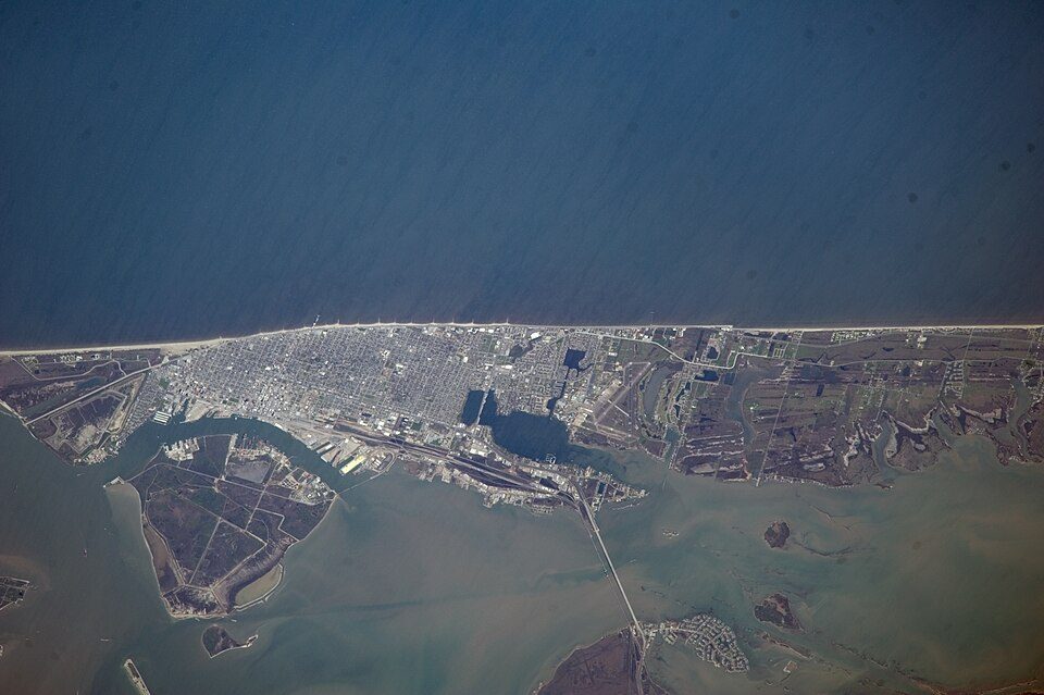
Galveston Island
Galveston Island ( GAL-vis-tən) is a barrier island on the Texas Gulf Coast in the United States, about 50 miles (80.5 km) southeast of Houston. It is in Galveston. Further out, Galveston Island Historic Pleasure Pier is 8.4 mi away.

A beach inside Galveston
Texas City is the nearest base
Texas City is 14 miles north, with 25 places to stay. Where to stay ↓
A day trip from Houston
Houston is about 48 miles northwest (straight-line). Where to stay ↓
Best months: Jan, Feb, Mar, Apr, May, Oct, Nov and Dec
January, February, March, April, May, October, November and December are the mild months, with highs of 62–82°. When to go ↓
Written from NOAA 1991–2020 normals, Overture places to stay, Census town figures, Wikidata and Wikipedia.
Highs and lows by month
Use the months below to time a visit to Galveston Island.
Galveston Island
Galveston Island ( GAL-vis-tən) is a barrier island on the Texas Gulf Coast in the United States, about 50 miles (80.5 km) southeast of Houston. The entire island, with the exception of Jamaica Beach, is within the city limits of the City of Galveston in Galveston County.
The island is about 27 miles (43.5 km) long and no more than 3 miles (4.8 km) wide at its widest point. The island is oriented generally northeast-southwest, with the Gulf of Mexico on the east and south, West Bay on the west, and Galveston Bay on the north. The island's main access point from the mainland is Interstate Highway 45 which crosses the Galveston Causeway that crosses West Bay on the northeast side of the island.
- Type
- Beach
- Area
- 64 square miles
- Elevation
- 20 ft
- Wikipedia readers
- 31K a year
Places to stay near Galveston Island
The closest towns with hotels, motels or campgrounds are Texas City (25) and Bolivar Peninsula (68).
Compare 8 towns
| Town | From Galveston Island | Drive | Places to stay | People | Typical home | Safety |
|---|---|---|---|---|---|---|
| Galveston | in town | — | — | 53,636 | $326K | D |
| Texas City | 14 mi north | 20 min | 25 20 hotels · 2 motels · 1 lodge or cabins · 1 campground · 1 RV park | 59,733 | $217K | C− |
| Bolivar Peninsula 37% vacation homes | 28 mi northeast | 40 min | 68 19 hotels · 3 motels · 2 inns & B&Bs · 6 lodges & cabins · 4 campgrounds · 34 RV parks | 2,951 | $316K | — |
| San Leon | 19 mi north | 30 min | 17 1 motel · 1 inn or B&B · 1 lodge or cabins · 14 RV parks | 6,458 | $183K | — |
| Webster | 25 mi northwest | 35 min | 29 28 hotels · 1 motel | 12,507 | $281K | D− |
| Bacliff | 20 mi north | 30 min | 14 6 hotels · 1 motel · 7 RV parks | 9,541 | $202K | — |
| Dickinson | 18 mi northwest | 25 min | 8 2 hotels · 1 inn or B&B · 1 lodge or cabins · 2 campgrounds · 2 RV parks | 21,908 | $278K | B− |
| Seabrook | 26 mi north | 40 min | 19 14 hotels · 2 inns & B&Bs · 1 lodge or cabins · 1 campground · 1 RV park | 13,974 | $350K | B− |
Getting there
Nearest airports with airline service
Also near Galveston Island
Every place here is under 47 miles away.
 Big draw44 mi Stadium & arenaReliant Stadium
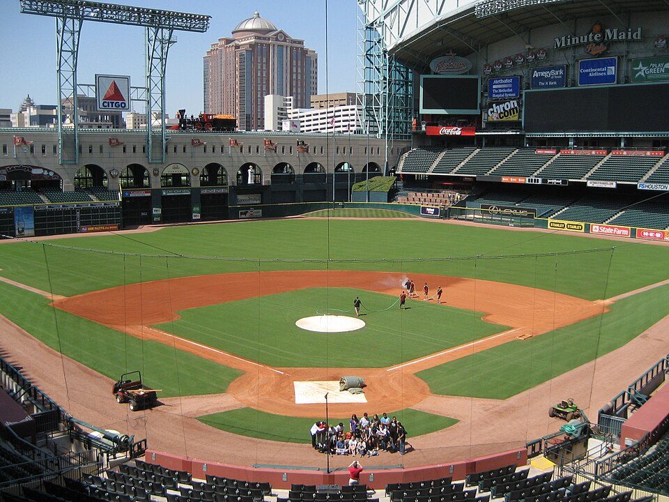 Big draw46 mi Stadium & arenaDaikin Park
 18 mi Theme parkGalveston Island Historic Pleasure Pier
 46 mi Stadium & arenaToyota Center
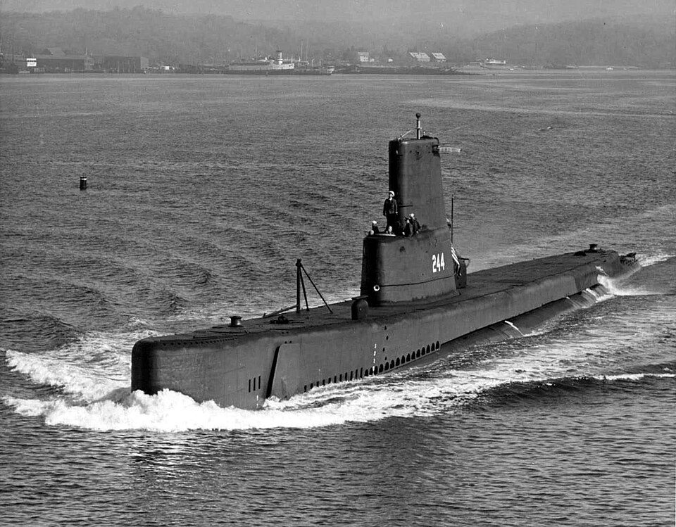 211 mi MuseumUSS Cavalla
 46 mi MuseumRothko Chapel
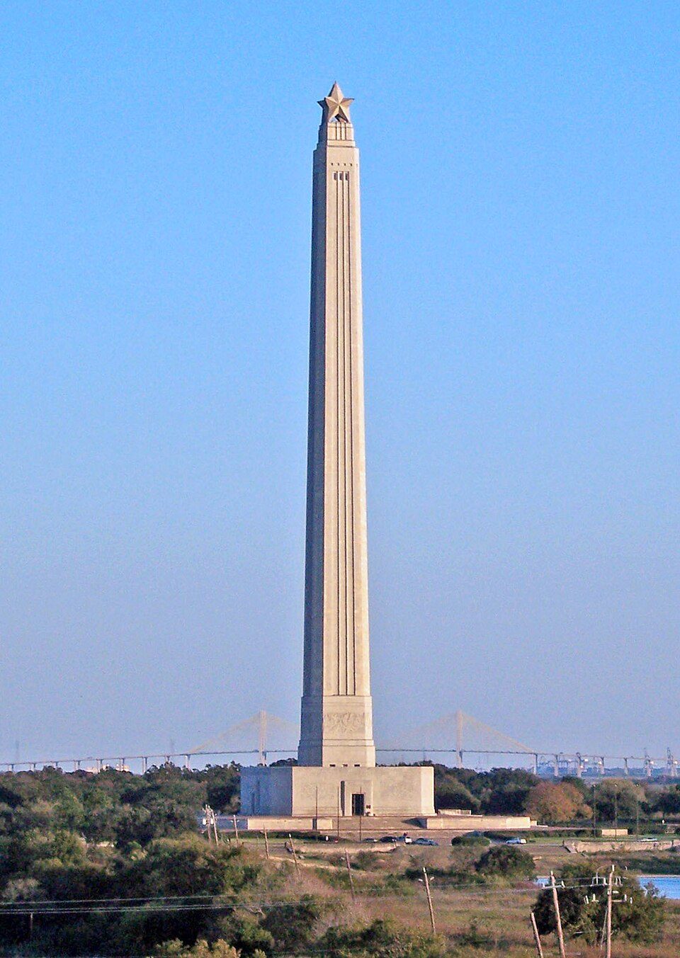 38 mi LandmarkSan Jacinto Monument
 325 mi MuseumSpace Center Houston
Photo credits
Reliant Stadium: User eschipul on Flickr, CC BY-SA 2.0 · Daikin Park: Delaywaves, CC BY 3.0 · Galveston Island Historic Pleasure Pier: Matthew T Rader, CC BY-SA 4.0 · Toyota Center: Ed Uthman from Houston, TX, USA, CC BY 2.0 · USS Cavalla: USN photo courtesy of http://ussubvetsofwwii.org. Photo i.d. courtesy of Chuck N, Public domain · Rothko Chapel: Unknown, Public domain · San Jacinto Monument: Tijuana Brass at English Wikipedia, Public domain · Space Center Houston: Shujianyang, CC BY 4.0


Your questions on Galveston Island
Is Galveston Island in Galveston?
Yes. It’s inside Galveston, TX.
When is the best time to visit Galveston Island?
January, February, March, April, May, October, November and December, with highs of 62–82°.
How far is Galveston Island from Houston?
About 48 miles northwest of Houston, as the crow flies.
What is the closest airport to Galveston Island?
William P. Hobby (HOU), about 37 miles away.
Where should I stay near Galveston Island?
Texas City (14 mi, 25 places to stay), Bolivar Peninsula (28 mi, 68 places to stay) and San Leon (19 mi, 17 places to stay).
Local know-how from Galveston
People in Galveston have not posted tips yet; their Town Square is open.
Sources: National Park Service · ski areas © OpenSkiMap / OpenStreetMap contributors · Wikidata · Wikipedia readership · NOAA climate normals · U.S. Census.