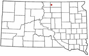
Eureka was laid out in 1887, and named "Eureka", a Greek exclamation meaning "I have found it!" The area attracted German-Russian immigrants, who referred to the original settlement as “St. Petersburg.” The arrival of the railroad in 1887 spurred the town’s growth, and it became a major regional hub for wheat production. From 1887 to 1902, Eureka was known as the world’s wheat capital.
The U.S. Geological Survey’s map of Eureka Township.
1986Mitchell sheet · 1:100,000
U.S. Geological Survey historical topographic maps (public domain), via Esri’s collection of the scans. The red ring marks the center of Eureka Township.
Places that used to be
Places now gone
Gone or out of use
Genes Spray Stripairport
Places and cemeteries from the USGS Geographic Names Information System (2021).
Stories next door
History across the town line
Each neighbor’s History grade, on the same three inputs.
Founding dates: Wikidata, Wikipedia, the U.S. post office records of Blevins & Helbock (CC0) and the Census. Homes by year built: Census ACS 2020–24. National Register of Historic Places: National Park Service (list of May 22, 2026). Old photos, postcards and papers: Wikimedia Commons, the Library of Congress and other public archives, credited on each item’s page. Maps: U.S. Geological Survey historical topographic maps (via Esri) and Sanborn fire-insurance maps (Library of Congress). History text and census tables: Wikipedia (CC BY-SA 4.0). Places that used to be: USGS Geographic Names Information System (2021). How TownRatings grades history →
From Wikimedia Commons (1), Wikipedia, U.S. Geological Survey historical maps, U.S. Census counts (via Wikipedia) and the USGS Geographic Names Information System. Archive images are copied here with their credits and licenses, shown on each photo’s page. Refreshed monthly.

 2004
