Dell Rapids dates to 1871, and 26% of its homes were built before 1940
More historic than 81% of U.S. towns · #4 of 35 in South Dakota. What drives it
13 places in town are on the National Register, among them two historic districts with 88 buildings between them. Below: maps from 1893 on and the census since 1880.
Founding year: Wikidata. First post office: 1871.The full story ↓
History grade
What drives Dell Rapids’ History grade
On its age, its old homes and the National Register, Dell Rapids is more historic than 81% of U.S. towns, #4 of 35 in South Dakota. Its National Register listings hold the grade up; its age pulls it down.
A−
HistoryA character grade: shown, never part of Dell Rapids’ overall grade.
South Dakota towns list more on the Register than most of the country (a typical South Dakota town has 37.3 per 10,000 residents, the U.S. 2.4), so Dell Rapids’ 246 sits above most of its state (95% of South Dakota towns have fewer) while its 96 historic buildings outnumber those of 89% of U.S. towns.
How sure. Graded on any two of the three inputs instead, the letter would range from B to A. The pre-1940 share is a Census survey estimate (±7.0 points). Two sources give 1871.
Founding year: Wikidata (other dates in Quick answers). Homes: Census ACS 2020–24. National Register: National Park Service, May 2026 list; each listing counted once (boundary changes and added documentation belong to their listing), and a historic district counts its contributing buildings. How TownRatings grades history →
What stands out about Dell Rapids’ past
Read from the archive, the National Register and the record. The page puts what stands out first.
Dell Rapids was originally named Dell City, but was renamed after the rapids of the Big Sioux River. After a fire broke out on the main street and burned most of the town, it was rebuilt out of Sioux Quartzite, a common rock in the area. The Chicago, Milwaukee, and Saint Paul Railroad built a railroad into the area, reaching Dell Rapids from Egan in 1881. Two large Sioux Quartzite quarries owned by LG Everist are operated via this rail line, which is now operated by LG's subsidiary, the D&I Railroad. The community celebrates its heritage with the annual "Quarry Days" in July, and in June, the city hosts "Cootie Days", where rides and games are set up and available in the city's park.
Passages that mention Dell Rapids, cut from the printed page as they were published.
History of Minnehaha county, South Dakota. Containing an account of its settlements, growth, development and resources ... Synopsis of public records, biographical sketches ..1899 · page 1008Read the page →
Read the text
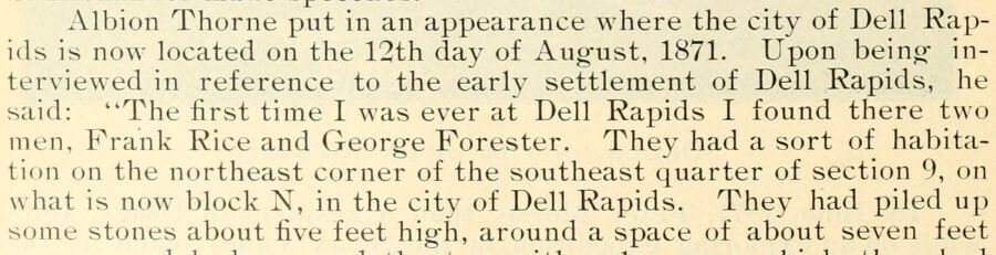
Albion Thorne put in an appearance where the city of Dell Rapids is now located on the 12th day of Aug-ust, 1871. Upon being interviewed in reference to the early settlement of Dell Rapids, he said: "The first time I was ever at Dell Rapids I found there two men. Prank Rice and George Porester. They had a sort of habitation on the northeast corner of the southeast quarter of section 9, on what is now block N, in the city of Dell Rapids. They had piled up some stones about five feet high, around a space of about seven feet
Text read by machine from the scan; it may contain errors.
History of Minnehaha county, South Dakota. Containing an account of its settlements, growth, development and resources ... Synopsis of public records, biographical sketches ..1899 · page 1034Read the page →
Read the text
Hampshire, and was born in 1846. He lived in that neighborhood until 1858, and then went to Janesville, Rock county, Wisconsin, and engag-ed in farminguntil 1883, when he came to this county and settled on a farm in Dell Rapids township. He remained on the farm until 1888, at which time he accepted a position as manag-er of the Dell Rapids IDlevator Company, and removed into the city of Dell Rapids, where he has since resided. He was a member of the Board of County Commissioners in 1887-8-9, and in January 1895, became
Text read by machine from the scan; it may contain errors.
Scans and text from the Internet Archive. Books published in 1930 or earlier, which are in the public domain.
Timeline
Dell Rapids, 1871 to 1990
Woven from the archive, old maps, post office records, the National Register and the people born here.
Every edition of the U.S. Geological Survey’s map of Dell Rapids. Tap a year, or press play to watch the town change.
1962Dell Rapids sheet · 1:24,000
U.S. Geological Survey historical topographic maps (public domain), via Esri’s collection of the scans. The red ring marks the center of Dell Rapids.
Every building
Dell Rapids, building by building, 1893–1911
Fire insurance maps drew every building, what it was made of and what it was used for, so insurers could price the risk of fire. Pick a year, then a sheet.
In 1871, according to Wikidata. Dell Rapids’ post office opened in 1871, and the census of 1880 counted 260 people here.
How does Dell Rapids rank for history?
Dell Rapids is more historic than 81% of U.S. towns, #4 of 35 in South Dakota. The History grade combines the town’s founding era, the share of homes built before 1940 and its National Register listings. It’s a character grade, so it isn’t part of the overall grade. How it works.
What is on the National Register in Dell Rapids?
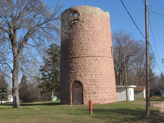
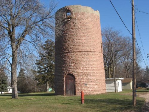
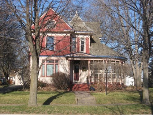
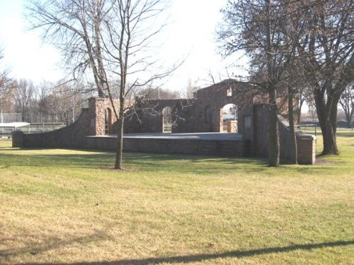
13 listings: 7 buildings, among them the Carnegie Free Public Library (listed 1973, the first), 2 historic districts, the Dell Rapids Historic District and the Dell Rapids Residential Historic District, with 88 contributing buildings, and 4 structures. 96 historic buildings in all.
How old are the homes in Dell Rapids?
26% of Dell Rapids’ homes were built before 1940 (Census estimate, ±7.0 points), against a typical 10% for a South Dakota town; the median home was built in 1983.
Founding dates: Wikidata, Wikipedia, the U.S. post office records of Blevins & Helbock (CC0) and the Census. Homes by year built: Census ACS 2020–24. National Register of Historic Places: National Park Service (list of May 22, 2026). Old photos, postcards and papers: Wikimedia Commons, the Library of Congress and other public archives, credited on each item’s page. Maps: U.S. Geological Survey historical topographic maps (via Esri) and Sanborn fire-insurance maps (Library of Congress). History text and census tables: Wikipedia (CC BY-SA 4.0). Places that used to be: USGS Geographic Names Information System (2021).
From Wikimedia Commons (1), Wikidata (4), the National Register of Historic Places (13), Wikipedia, Wikidata and Wikipedia for famous people, U.S. Geological Survey historical maps, U.S. Census counts (via Wikipedia), the US Post Offices dataset (Blevins & Helbock), the USGS Geographic Names Information System, Sanborn fire insurance maps (Library of Congress) and old county and town histories (Internet Archive). Archive images are copied here with their credits and licenses, shown on each photo’s page. Refreshed monthly.









 2010


