
Conata Water Tower footings, 2022
Conata Township’s story
118 years in pictures
The archive holds 5 old photos and papers going back to 2022 and a map from 1981 on.
- 1908Conata Township is settled
Each edition grades its towns against each other only.

With 9 residents, this town was settled in 1908.
Among 36 South Dakota towns, just one has a higher typical July afternoon high than Conata Township. 83% of the land in Conata Township is conserved, where South Dakota’s towns sit at 3.3% and U.S. towns at 4.3%. Buffalo Gap National Grassland, at 30,212 acres with 21.5 miles of trail, is the biggest park or preserve. Conata Township has fewer than 1,000 residents, too few for fair grades; the figures below are still real.
In a town this size, neighbors are the best guide. Ask them anything.
The archive holds 5 old photos and papers going back to 2022 and a map from 1981 on.
Museums, parks, gardens and other places to visit around Conata Township. Close and well known come first.
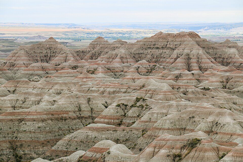 Big draw3 mi National ParkBadlands National Park1.1M visitors a year
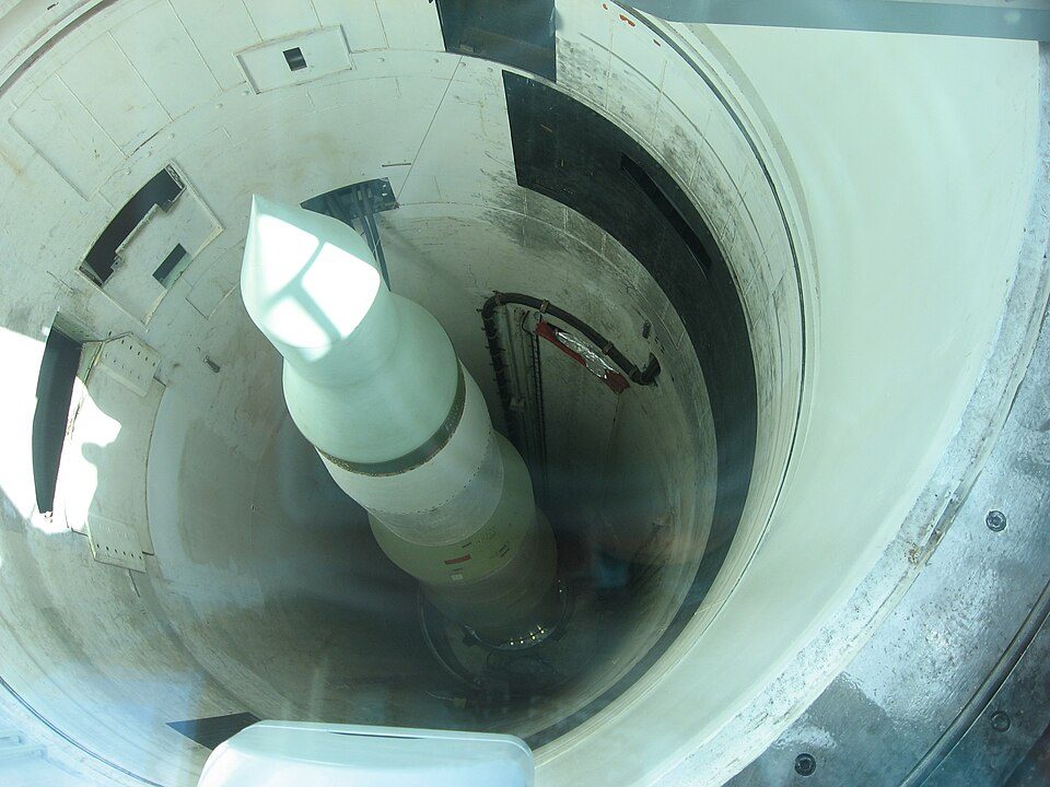 14 mi National Historic SiteMinuteman Missile National Historic Site102K visitors a year
Badlands National Park: Martin Kraft, CC BY-SA 3.0 · Minuteman Missile National Historic Site: Spencer, CC BY-SA 3.0
Who provides power, water and the rest in Conata Township, and how to reach them.
EPA SDWIS (Oct 9, 2026) · HIFLD + EIA-861 2025 · Census 2020 ZCTAs · NCES 2024–25 · registration: vote.gov, updated Aug 3, 2026.
Ordered by what stands out in Conata Township.
Across 3 parks and preserves: 42 miles of trail. Parks and preserves in Conata Township: 3, covering 51,758 acres.
| Biggest places to walk | Trails | Acres |
|---|---|---|
| 1. Buffalo Gap National Grassland | 21.5 mi | 30,212 |
| 2. Badlands Wilderness | 6.8 mi | 6,887 |
| 3. Badlands National Park | 4.1 mi | 14,659 |
Trails & parks © OpenStreetMap contributors · Conserved land: USGS PAD-US
Expected storm and flood damage is higher than in 74% of U.S. communities. Of the losses FEMA expects in Conata Township, 52% come from inland flooding and 15% from wildfires.
FEMA National Risk Index · OpenFEMA
NOAA U.S. Climate Normals, 1991–2020
21% of adults have been diagnosed with depression in Conata Township. Among 36 South Dakota towns, just 2 have a higher share of adults who have high blood pressure than Conata Township.
| Conata Township | South Dakota towns | U.S. towns | |
|---|---|---|---|
| Smoke cigarettes (CDC PLACES) | 18% | 14% | 14% |
| Diabetes (CDC PLACES) | 13% | 10% | 12% |
| High blood pressure (CDC PLACES) | 37% | 31% | 35% |
| Sleep under 7 hours (CDC PLACES) | 32% | 30% | 36% |
| What stands out | Conata Township | SD |
|---|---|---|
| More adults with heart disease | 8% | 6.8% |
| More adults who have had a stroke | 4% | 3.5% |
| More adults with arthritis | 28.7% | 25.8% |
CDC PLACES 2025 · modeled estimates for adults · CMS · HRSA
None within 15 miles of Conata Township; the nearest are
82.9% of the town is conserved land, across 3 parks and preserves.
American ghost town
Conata is a ghost town in Pennington County, in the U.S. state of South Dakota. The GNIS classifies it as a populated place.
From Wikipedia, licensed CC BY-SA 4.0 · facts via Wikidata (CC0)
Short answers, built from the data on this page.
Conata Township has fewer than 1,000 residents, too few for fair grades; the figures below are still real.

