Sullivan's Island in pictures
Census counts: 1,358 in 1960, 1,891 in 2020. The archive holds 12 old photos and papers going back to 1776 and 3 maps from 1943 on.
9 places on the National Register of Historic Places.
Explore the history →Each edition grades its towns against each other only.
A town of 1,961.
Sullivan's Island’s best subject grades are an A+ for health and an A for incomes and schools; its weakest is a D− for cost of living. No town in South Carolina scores higher than Sullivan's Island on civic life. Sullivan's Island has 10 places on the National Register. On the outdoors, just 3 of South Carolina’s 263 towns do better. Sullivan's Island has fewer than 2,500 residents, so it gets subject grades but no overall grade.
Where Sullivan's Island beats most towns, and one thing worth knowing.
| Widest gap | Sullivan's Island | SC |
|---|---|---|
| Fewer older adults who have lost all their teeth | 3.3% | 13.9% |
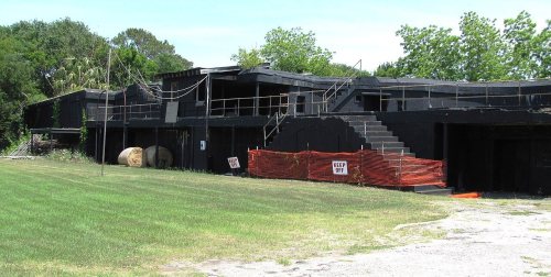
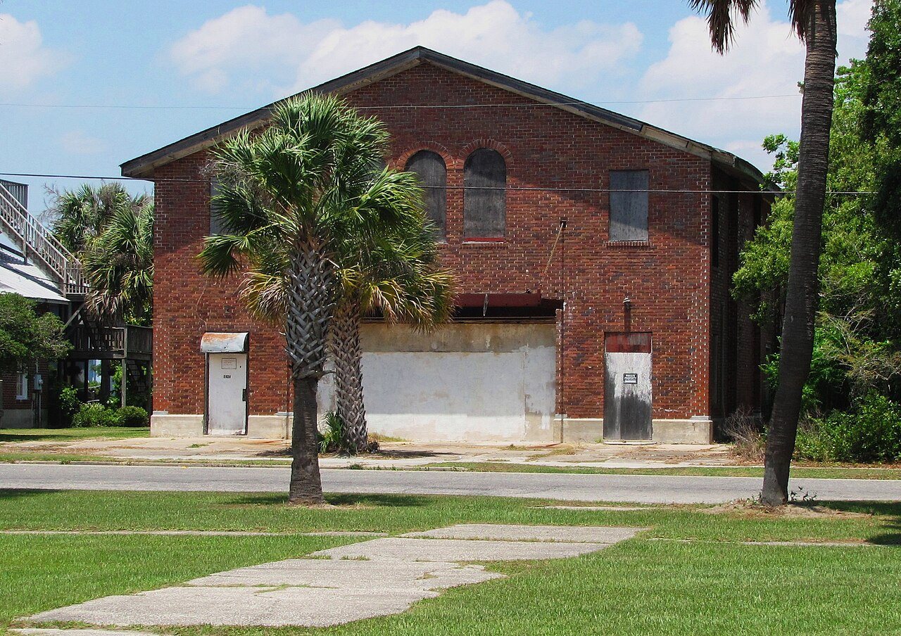
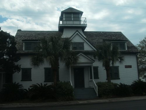
U.S. Coast Guard Historic DistrictCoastal flooding makes up 11% of the storm damage FEMA expects here.
FEMA National Risk Index · OpenFEMA · OpenStreetMap
Each subject compared with towns across the country (schools within South Carolina), ordered by how far Sullivan's Island is from typical.
How TownRatings grades towns →
Census counts: 1,358 in 1960, 1,891 in 2020. The archive holds 12 old photos and papers going back to 1776 and 3 maps from 1943 on.
9 places on the National Register of Historic Places.
Explore the history →Museums, parks, gardens and other places to visit around Sullivan's Island. Close and well known come first.
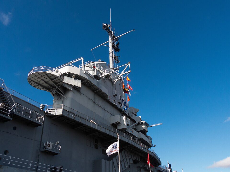
Big draw5 mi MuseumUSS Yorktown
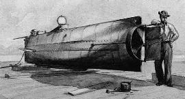
Big draw10 mi MuseumH. L. Hunley
5 mi MuseumUSS Laffey
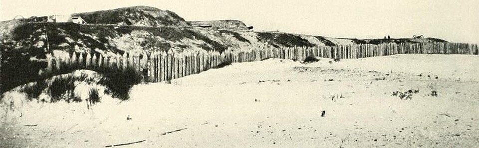
in town LandmarkFort Moultrie
5 mi LandmarkFort Wagner
6 mi DamThe BatteryUSS Yorktown: David Ratledge, CC BY 4.0 · H. L. Hunley: Sepia wash drawing by R.G. Skerrett, 1902, after a painting then held by the Con, Public domain · USS Laffey: U.S. Navy, Public domain · Fort Moultrie: Dima Sergiyenko; Please attribute this image as the work of "DiscoverWithDima.", CC BY-SA 4.0 · Fort Wagner: Unknown authorUnknown author, Public domain · The Battery: Eagledj, CC BY-SA 4.0
Who provides power, water and the rest in Sullivan's Island, and how to reach them.
EPA SDWIS (Oct 9, 2026) · HIFLD + EIA-861 2025 · Census 2020 ZCTAs · NCES 2024–25 · registration: vote.gov, updated Sep 12, 2025.
Ordered by what stands out in Sullivan's Island.
Values rose 8.2% in the 12 months to September 2026. 85% of households live in a home they own in Sullivan's Island, above both South Carolina’s towns (65%) and U.S. towns (73%).
Census ACS, 2020–24 · Zillow Home Value Index · Redfin Data Center
The Charleston 01 school district runs its public schools. Its one school is below. Sullivan's Island’s only public school teaches 497 students.
| School | Level | Students | Letter |
|---|---|---|---|
| Sullivan's Island ElementaryLargest public elementary schoolGrades PK–5 | Grades PK–5 | 497 | A+ |
NCES · EDFacts · graded within SC on state tests and graduation
Of the 170 South Carolina towns we compare, none has a lower share of adults who smoke cigarettes than Sullivan's Island. One in ten adults report frequent mental distress locally, below both the South Carolina town median (18%) and the median of U.S. towns (17%). In addition, the share of adults in Sullivan's Island who report frequent physical distress: 9.2%. The town does better than the South Carolina average on 25 of 32 CDC measures and worse on 2.
| Sullivan's Island | South Carolina towns | U.S. towns | |
|---|---|---|---|
| Smoke cigarettes (CDC PLACES) | 5.7% | 15% | 14% |
| Frequent mental distress (CDC PLACES) | 10% | 18% | 17% |
| Frequent physical distress (CDC PLACES) | 9.2% | 15% | 14% |
| Get no exercise (CDC PLACES) | 13% | 28% | 25% |
| What stands out | Sullivan's Island | SC |
|---|---|---|
| Fewer older adults who have lost all their teeth | 3.3% | 13.9% |
| Fewer adults facing food insecurity | 4.2% | 17.4% |
| More adults who have had cancer | 12.5% | 8.6% |
CDC PLACES 2025 · modeled estimates for adults · CMS · HRSA
Federal disaster aid has reached households in Sullivan's Island after 7 declared disasters, most recently in 2022. On expected storm and flood damage, Sullivan's Island sits above 95% of U.S. communities. Paid flood insurance claims locally since 1979: 670. Expected losses in Sullivan's Island break down as 64% from hurricanes and 12% from earthquakes.
FEMA disaster declarations and aid · FEMA flood insurance claims · FEMA National Risk Index · OpenFEMA
For Sullivan's Island, the level of property crime is 7.1 per 1,000 residents. The town reports less crime per resident than 74% of the U.S. towns and cities we grade.
| Sullivan's Island | South Carolina towns | U.S. towns | |
|---|---|---|---|
| Violent crimes per 1,000 (2025) | 0 per 1,000 residents | 4.1 | 1.6 |
| Property crimes per 1,000 (2025) | 7.1 per 1,000 residents | 21.4 | 9.9 |
FBI crime data, 2025 · crimes reported to police
July afternoons reach 90°, January nights drop to 41° and snow is almost unheard of.
NOAA U.S. Climate Normals, 1991–2020
No town among the 169 in South Carolina we compare has a higher income of the median household than Sullivan's Island. Just 9% of the town’s working residents have a job in town. Among 170 South Carolina towns, just 6 have a lower average commute than Sullivan's Island. Between 2013 and 2023, jobs here rose by 256, to 746.
| Sullivan's Island | South Carolina towns | U.S. towns | |
|---|---|---|---|
| Median household income | $193,000 | $57,000 | $80,000 |
| Average trip to work | 18 minutes | 24 minutes | 25 minutes |
| Below the poverty line | 8.8% | 17% | 9.6% |
| Working residents who work in town | 8.8% | 6.1% | 8% |
Census LEHD 2023 · ACS
Fort Moultrie, at 31 acres with 1.5 miles of trail, is the biggest park or preserve. There are 3.6 miles of trail across 4 parks and preserves. Sullivan's Island’s trail density stands at 1.1 miles per square mile.
| Sullivan's Island | South Carolina towns | U.S. towns | |
|---|---|---|---|
| Miles of trail per square mile | 1.1 miles per square mile | 0.3 | 0.4 |
| Conserved land | 8.6% | 1.8% | 4.3% |
| Biggest places to walk | Trails | Acres |
|---|---|---|
| 1. Fort Moultrie | 1.5 mi | 31 |
| 2. J. Marshall Stith Park | 0.1 mi | 4 |
| 3. United States Coast Guard Historic District | — | 3 |
Trails & parks © OpenStreetMap contributors · Conserved land: USGS PAD-US
5 within 15 miles of the center of Sullivan's Island
About 5 of every 100 Sullivan's Island residents are enrolled in college, about the same as South Carolina.
9 places in Sullivan's Island on the National Register of Historic Places.
Town in South Carolina, United States
Sullivan's Island, historically known as O'Sullivan's Island, is a town and island in Charleston County, South Carolina, United States, at the entrance to Charleston Harbor, with a population of 1,791 at the 2010 census, and 1,891 people in 2020. The town is part of the Charleston metropolitan area and is considered a very affluent suburb of Charleston.
From Wikipedia, licensed CC BY-SA 4.0 · facts via Wikidata (CC0)
2 towns share a border with Sullivan's Island.
| Town | SC rank | Overall | Cost | Safety | Schools | Health |
|---|---|---|---|---|---|---|
| Sullivan's Island | — | — | D− | B+ | A | A+ |
| Mount Pleasant | #21 | B+ | D | B− | A | A+ |
| Isle of Palms | #24 | B+ | D | C+ | A | A+ |
Sullivan's Island has fewer than 2,500 residents, so it gets subject grades but no overall grade. Compare Sullivan's Island with a neighbor →
Short answers, built from the data on this page.
Yes. That is 53.7 years of the area's median household income ($85,254 across the Charleston-North Charleston, SC metro area). Cost of living, which also weighs rents, property taxes and how many households pay 30% or more of their income for housing, grades D−.
2 notable people were born here, including Dorothea Benton Frank and Reese Havens.