
The Battery
The Battery is a landmark defensive seawall and promenade in Charleston, South Carolina. Nearby, USS Yorktown (1.9 mi) leads the list. Highs of 62–82°F make February, March, April, May, October, November and December the mildest time to go.

A dam inside Charleston
You can stay in Charleston
The Battery is inside Charleston, which has 136 places to stay, so you won’t need a base farther out. Where to stay ↓
Best months: Feb, Mar, Apr, May, Oct, Nov and Dec
February, March, April, May, October, November and December are the mild months, with highs of 62–82°. When to go ↓
An airport 11 miles away
Charleston (CHS) has airline service, about 11 miles from The Battery.
Written from NOAA 1991–2020 normals, Overture places to stay, Census town figures and Wikipedia.
Choosing a month
Here is how the weather at The Battery changes month by month.
The Battery
The Battery is a landmark defensive seawall and promenade in Charleston, South Carolina. Named for a pre–Civil War coastal defense artillery battery originally built by the British at the site, it stretches along the lower shores of the Charleston peninsula, bordered by the Ashley and Cooper Rivers, which meet here to form Charleston Harbor.
- Type
- Dam
- Wikipedia readers
- 26K a year
Bases for The Battery
Lodging nearby is in Charleston (136) and Mount Pleasant (42).
- 1USS Yorktown
- 2H. L. Hunley
- 3USS Laffey
- 4Fort Wagner
- 5Angel Oak
- 6Fort Moultrie
- 7Old Slave Mart
- 8Patriots Point
Compare 8 towns
| Town | From The Battery | Drive | Places to stay | People | Typical home | Safety |
|---|---|---|---|---|---|---|
| Charleston | in town | — | 136 88 hotels · 1 motel · 40 inns & B&Bs · 4 lodges & cabins · 2 hostels · 1 RV park | 159,423 | $510K | C− |
| Mount Pleasant | 5 mi northeast | 5 min | 42 37 hotels · 3 inns & B&Bs · 1 lodge or cabins · 1 campground | 95,469 | $749K | B− |
| North Charleston | 13 mi northwest | 20 min | 82 68 hotels · 6 motels · 1 inn or B&B · 5 lodges & cabins · 1 campground · 1 RV park | 129,245 | $302K | D− |
| Folly Beach 47% vacation homes | 7 mi south | 10 min | 12 7 hotels · 3 inns & B&Bs · 2 lodges & cabins | 2,081 | $1,000K | C |
| Isle of Palms 24% vacation homes | 11 mi east | 15 min | 11 9 hotels · 1 inn or B&B · 1 lodge or cabins | 4,377 | $1,581K | C+ |
| Kiawah Island 56% vacation homes | 13 mi southwest | 20 min | 11 9 hotels · 1 inn or B&B · 1 lodge or cabins | 2,014 | $2,000K | — |
| Summerville | 22 mi northwest | 35 min | 28 20 hotels · 1 motel · 5 inns & B&Bs · 2 lodges & cabins | 53,177 | $328K | — |
| Goose Creek | 16 mi north | 25 min | 9 6 hotels · 2 lodges & cabins · 1 RV park | 52,010 | $306K | C+ |
Getting there
Nearest airports with airline service
Next door to The Battery
More places people know lie within 10 miles.
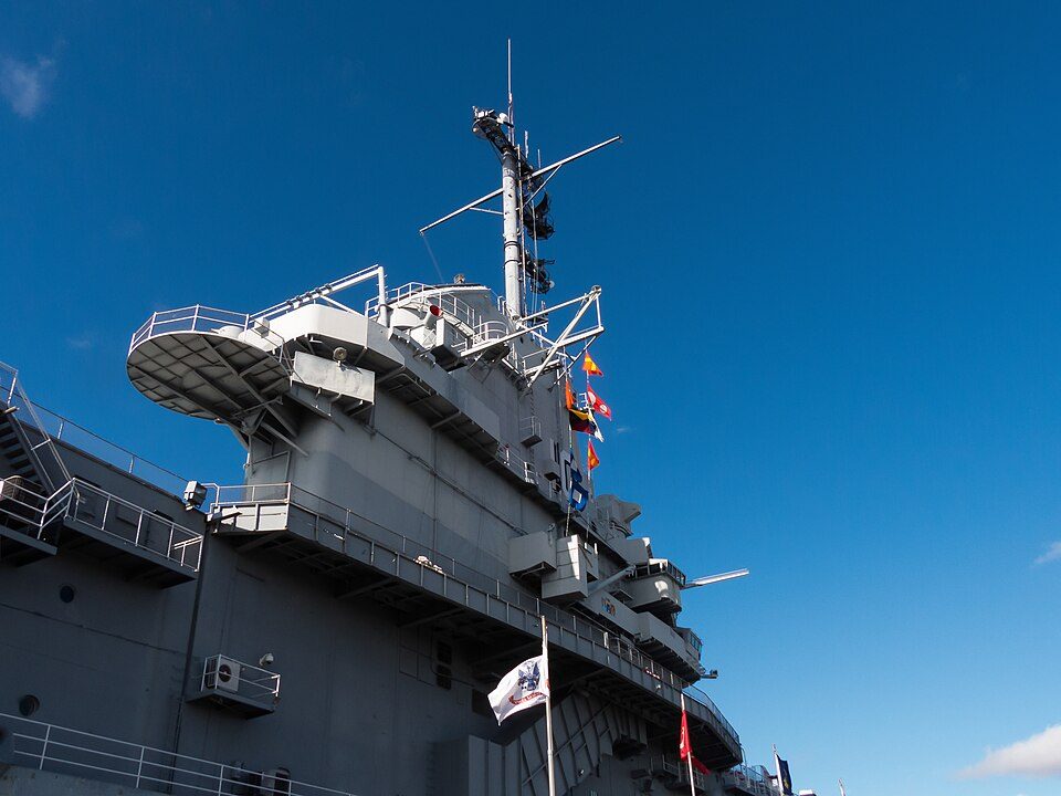 Big draw12 mi MuseumUSS Yorktown
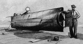 Big draw26 mi MuseumH. L. Hunley
 32 mi MuseumUSS Laffey
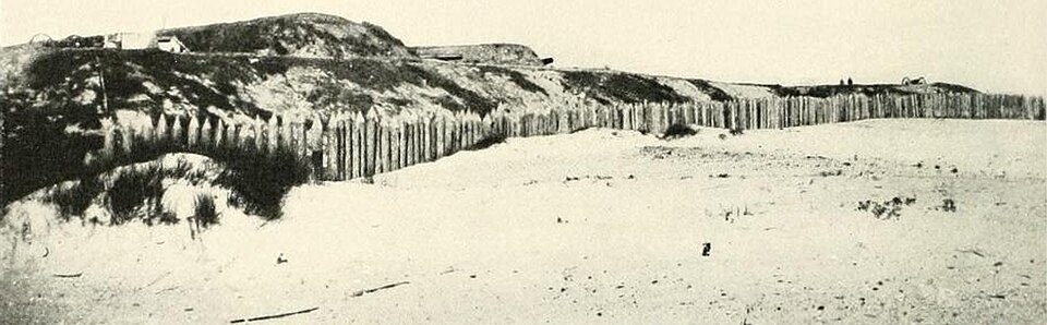 44 mi LandmarkFort Wagner
 59 mi Park & preserveAngel Oak
 64 mi LandmarkFort Moultrie
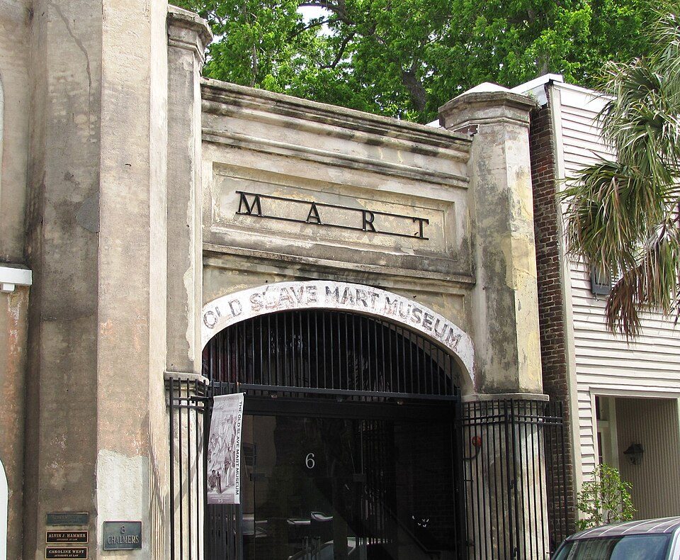 7in town MuseumOld Slave Mart
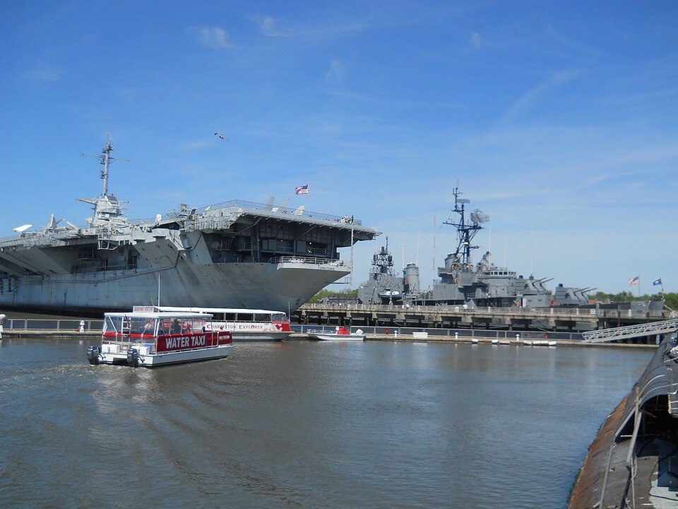 82 mi MuseumPatriots Point
Photo credits
USS Yorktown: David Ratledge, CC BY 4.0 · H. L. Hunley: Sepia wash drawing by R.G. Skerrett, 1902, after a painting then held by the Con, Public domain · USS Laffey: U.S. Navy, Public domain · Fort Wagner: Unknown authorUnknown author, Public domain · Angel Oak: Galen Parks Smith, CC BY-SA 3.0 · Fort Moultrie: Dima Sergiyenko; Please attribute this image as the work of "DiscoverWithDima.", CC BY-SA 4.0 · Old Slave Mart: Brian Stansberry, CC BY 3.0 · Patriots Point: Clarinetguy097, CC BY-SA 4.0


The Battery in questions
Is The Battery in Charleston?
Yes. It’s inside Charleston, SC.
When is the best time to visit The Battery?
February, March, April, May, October, November and December, with highs of 62–82°.
What is the closest airport to The Battery?
Charleston (CHS), about 11 miles away.
Where should I stay near The Battery?
Charleston (in town, 136 places to stay), Mount Pleasant (5 mi, 42 places to stay) and North Charleston (13 mi, 82 places to stay).
Inside knowledge from Charleston
Nobody has posted a tip yet; ask or answer in Charleston’s Town Square.
Sources: National Park Service · ski areas © OpenSkiMap / OpenStreetMap contributors · Wikidata · Wikipedia readership · NOAA climate normals · U.S. Census.