The picture is mixed. Litchfield Beach’s overall grade is C+, better than 38% of U.S. towns. That places it 82nd of 167 in South Carolina. Where it falls short is cost of living: the typical home is worth about $459K, 6.7 years of the Murrells Inlet area’s $69K median household income. It also trails on hazard risk — FEMA rates its natural-hazard risk higher than 97% of U.S. communities, with hurricanes at the top. Its strongest subject is health — CDC estimates put its residents' health ahead of 78% of the country. The town has 3 places on the National Register of Historic Places, among them Atalaya and Chicora Wood Plantation. 48% of residents are 65 or older here, above both the South Carolina town median (17%) and the median of U.S. towns (18%).
Figures: health, CDC PLACES · home values, Zillow · incomes, Census ACS, 2020–24 · FEMA National Risk Index · National Register of Historic Places.
Litchfield Beach is a second-home town, but it carries more natural-hazard risk than most of South Carolina (mostly hurricanes) and has homes that cost more against local pay than most of South Carolina.
The public schools here belong to the Georgetown 01 school district. One of its 5 schools is below, with the reason it’s listed. 3 public schools serve Litchfield Beach, with 1,287 students in all.
Litchfield Beach’s trail density is 0.9 miles per square mile. Walkers can cover 10 miles of trail in 1 park or preserve. One park or preserve covers 7 acres locally.
FEMA rates its natural-hazard risk higher than 93% of South Carolina towns, with expected losses of about $1,897 per resident a year; that rating is what its D− for hazard risk is built on.
The national flood insurance program has paid 309 claims in Litchfield Beach since 1989. Of the losses FEMA expects here, 73% come from hurricanes and 12% from inland flooding.
For adults in Litchfield Beach, the share who had a checkup this year is 86%. Only 3 of the 169 South Carolina towns we compare have a lower share of adults who feel lonely than Litchfield Beach. CDC measures, 32 in all: Litchfield Beach beats South Carolina on 21 and trails on 6.
78%healthier than U.S. townsA−Health Grade
Litchfield Beach
South Carolina towns
U.S. towns
Frequent mental distress (CDC PLACES)
11%
18%
17%
Feel lonely (CDC PLACES)
24%
33%
33%
Yearly checkup (CDC PLACES)
86%
80%
79%
Sleep under 7 hours (CDC PLACES)
29%
38%
36%
32 measures vs. South Carolina
21 better5 too close to call6 worse
What stands out
Litchfield Beach
SC
Fewer adults facing food insecurity
8.1%
17.4%
Fewer adults facing housing insecurity
6.3%
13.3%
More adults who have had cancer
15.2%
8.6%
Tidelands Waccamaw Community Hospital
7.2 mi away · emergency room
3 of 3
care shortages: primary care, dental, mental health
July afternoons average 88.5°: hotter than most of the country, but cooler than 96% of South Carolina places with climate records; January nights average 37.4°.
Its January low is 37°F. Only 6 of the 169 South Carolina towns we compare have a lower peak summer temperature than Litchfield Beach.
16% of Litchfield Beach working residents work locally. Jobs based in Litchfield Beach grew to 3,761 in 2023, 964 more than in 2013. Its average trip to work stands at 22 minutes. For half of commuters, work is under 20 miles away.
16%work in town
Litchfield Beach
South Carolina towns
U.S. towns
Work from home
19%
8.6%
11%
Working residents who work in town
16%
6.1%
8%
Below the poverty line
8.5%
17%
9.6%
Average trip to work
22 minutes
24 minutes
25 minutes
Where working residents work
In Litchfield Beach16%
Georgetown9%
Myrtle Beach6%
Murrells Inlet5%
Charleston4%
20 mi
median commute distance
3,761
jobs based in Litchfield Beach
Balanced
jobs vs. working residents
B+
Walkability grade: more walkable than 66% of U.S. towns
At 6.7 years of the Murrells Inlet area’s $69K median household income, the typical home costs more against local pay than in 96% of South Carolina towns; that ratio is one input to its C− for cost of living.
In Litchfield Beach, the median rent is $1,704 a month. The share of households in Litchfield Beach who live in a home they own: 83%. Also worth knowing: homes sold in Litchfield Beach spent a median 50 days on the market.
Census-designated place in South Carolina, United States
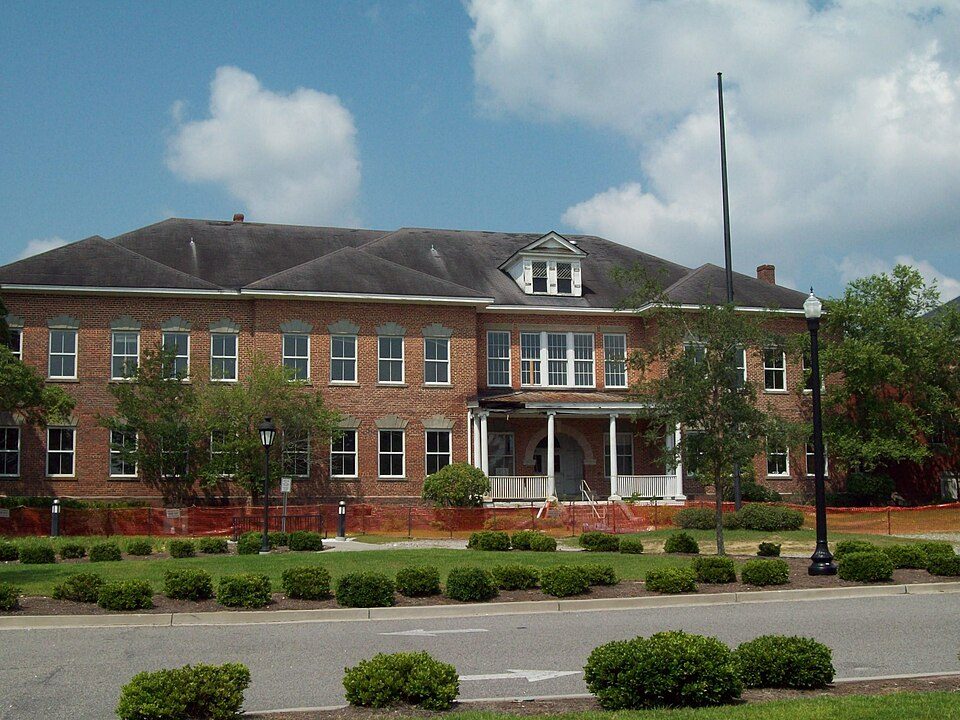
Litchfield Beach, also known simply as Litchfield, is an unincorporated community and census-designated place (CDP) in Georgetown County, South Carolina, United States. It was first listed as a CDP in the 2020 census with a population of 8,370. It lies three miles north of Pawleys Island, on the South Carolina Grand Strand. The communities Litchfield-By-The-Sea and North Litchfield are within Litchfield Beach. The community takes its name from Litchfield Plantation, a rice plantation founded early in the 18th century. It initially started in the 1950s as Retreat Beach. Modern development of the community began in the 1960s.
Litchfield Beach grades C+ overall, better than 38% of U.S. towns and #82 of 167 in South Carolina. It grades A− for health and C+ for schools. Hazard risk is its weak spot, with a D−.
Is Litchfield Beach, SC expensive?
Yes. The typical home is worth about $459,000, 51% above the South Carolina typical home. Cost of living, which also weighs rents, property taxes and how many households pay 30% or more of their income for housing, grades C−.


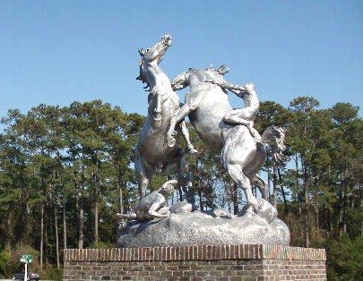 3 mi
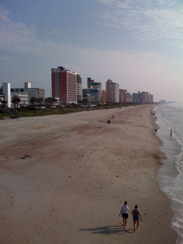 20 mi
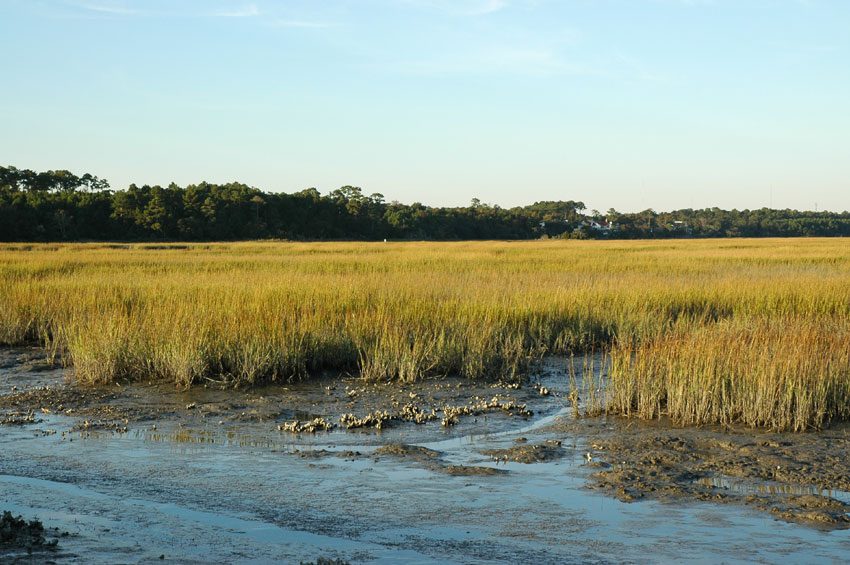 4 mi
 19 mi
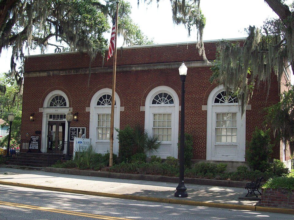 25 mi
 26 mi


