Laurel BaySC
A town of 5,882.
Is Laurel Bay a good place to live?
FEMA rates its natural-hazard risk higher than 98% of U.S. communities, with hurricanes at the top. Overall it grades C, ranked 98th of 167 in South Carolina. Its weakest subject is incomes: the median household income is $54K, and 18% of residents live below the poverty line. 34% of the land in Laurel Bay is conserved, where South Carolina’s towns sit at 1.7% and U.S. towns at 4.3%. Most errands need a car: it is less walkable than 90% of U.S. towns. Among 169 South Carolina towns, just 1 have a higher share of children under 18 than Laurel Bay.
What makes Laurel Bay stand out
Where Laurel Bay beats most towns, and one thing worth knowing.
| Widest gap | Laurel Bay | SC |
|---|---|---|
| Fewer adults who have had cancer | 4% | 8.6% |
| School | Grades | Students |
|---|---|---|
| Joseph S. Shanklin Elementary | PK–5 | 416 |
Laurel Bay has shrunk 14% from 2010 to 2020
5,891 counted in 2010 and 5,082 in 2020.
U.S. Census 2010 & 2020 counts
How Laurel Bay grades
Each subject compared with towns across the country (schools within South Carolina), ordered by how far Laurel Bay is from typical.
How TownRatings grades towns →
Moving to Laurel Bay: who provides what
Laurel Bay is unincorporated, so Beaufort County and regional agencies provide most services.
EPA SDWIS (Oct 9, 2026) · HIFLD + EIA-861 2025 · Census 2020 ZCTAs · NCES 2024–25 · registration: vote.gov, updated Sep 12, 2025.
The data
Ordered by what stands out in Laurel Bay.
Laurel Bay keeps more of its land conserved than most of South Carolina and is healthier than towns with similar incomes, but it carries more natural-hazard risk than most of South Carolina (mostly hurricanes).
Hurricanes leads a very high hazard risk in Laurel Bay
FEMA rates its natural-hazard risk higher than 95% of South Carolina towns, with expected losses of about $630 per resident a year; that rating is what its D− for hazard risk is built on.
Among 169 South Carolina towns, just 8 have a higher FEMA risk score than Laurel Bay. One flood insurance claim has been paid in Laurel Bay since 2016.
FEMA flood insurance claims · FEMA National Risk Index · OpenFEMA
Public schools in Laurel Bay beat 74% of South Carolina districts
Its public schools are run by the Beaufort 01 school district. Its one school is below.
| School | Level | Students | Letter |
|---|---|---|---|
| Joseph S. Shanklin ElementaryLargest public elementary schoolGrades PK–5 | Grades PK–5 | 416 | C− |
NCES · EDFacts · graded within SC on state tests and graduation
Nearly a third of Laurel Bay is conserved land
Its 1,097 conserved acres are a larger share of the town than in 99% of South Carolina towns.
0.2 miles of trail in 1 park or preserve.
| Biggest places to walk | Trails | Acres |
|---|---|---|
| 1. Freedom Sound Park | — | 6 |
Trails & parks © OpenStreetMap contributors · Conserved land: USGS PAD-US
Most working residents commute out of Laurel Bay
Laurel Bay has 313 jobs for its 1,184 working residents: even if every job went to a resident, most would still commute out.
Most working residents leave Laurel Bay for work: only 3% work in town. Since 2013, Laurel Bay has added 144 jobs, to 313 in 2023. Laurel Bay’s average trip to work is 28 minutes, above both South Carolina’s towns (24 minutes) and U.S. towns (25 minutes).
| Laurel Bay | South Carolina towns | U.S. towns | |
|---|---|---|---|
| Average trip to work | 28 minutes | 24 minutes | 25 minutes |
| Median household income | $54,000 | $57,000 | $80,000 |
| Working residents who work in town | 2.6% | 6.3% | 8% |
Where working residents work
Census LEHD 2023 · ACS
Compared with most of South Carolina and the rest of the country, fewer of Laurel Bay’s adults have high blood pressure
Against the 7,224 U.S. towns with household incomes like Laurel Bay’s, it is healthier than 97%, so its B+ isn’t only a matter of income. Its widest gap with South Carolina is cancer: 4% of its 3,470 adults have had cancer, against 8.6% statewide.
25% of Laurel Bay adults have high blood pressure. Only 3 of the 169 South Carolina towns we compare have a lower share of adults who have diabetes than Laurel Bay. 32% of Laurel Bay adults have obesity.
| Laurel Bay | South Carolina towns | U.S. towns | |
|---|---|---|---|
| Binge drink (CDC PLACES) | 23% | 15% | 16% |
| High blood pressure (CDC PLACES) | 25% | 40% | 35% |
| Diabetes (CDC PLACES) | 8.2% | 15% | 12% |
| Yearly checkup (CDC PLACES) | 74% | 80% | 79% |
| What stands out | Laurel Bay | SC |
|---|---|---|
| Fewer adults who have had cancer | 4% | 8.6% |
| Fewer adults with heart disease | 3.6% | 6.8% |
| More binge drinkers | 22.8% | 15.7% |
CDC PLACES 2025 · modeled estimates for adults · CMS · HRSA
Laurel Bay has mild winters and hot summers
Laurel Bay has warm winters and warm summers, with plenty of rain. Laurel Bay’s July high is 91°F.
Typical low → high °F
NOAA U.S. Climate Normals, 1991–2020
Laurel Bay stands out in South Carolina and nationally, with fewer of its households who own their home
At 2.8 years of the Hilton Head Island metro’s $83K median household income, the typical home costs less against local pay than in 76% of South Carolina towns; that ratio is one input to its C+ for cost of living. 70.2% of renter households pay 30% or more of their income for housing, against 52.1% across South Carolina.
23% of households own their home in Laurel Bay.
| Laurel Bay | South Carolina towns | U.S. towns | |
|---|---|---|---|
| Households that own their home | 23% | 65% | 73% |
| Median rent | $1,454 a month | $1,058 a month | $1,185 a month |
Census ACS, 2020–24 · Zillow Home Value Index · Redfin Data Center
Mercer House and 27 more within 40 miles
Museums, parks, gardens and other places to visit around Laurel Bay. Close and well known come first.
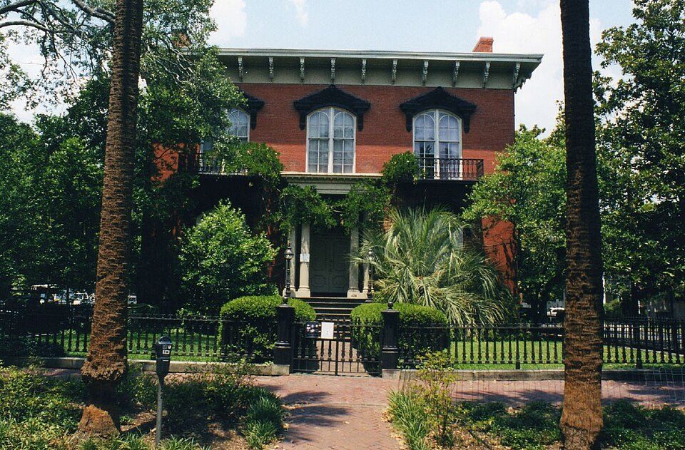 32 mi MuseumMercer House
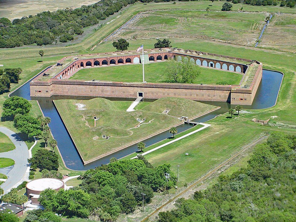 29 mi National MonumentFort Pulaski National Monument321K visitors a year
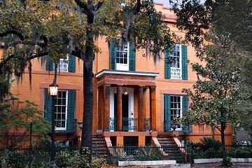 32 mi MuseumSorrel–Weed House
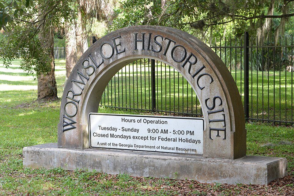 37 mi State parkWormsloe Historic Site
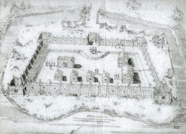 12 mi Ancient siteCharlesfort-Santa Elena Site
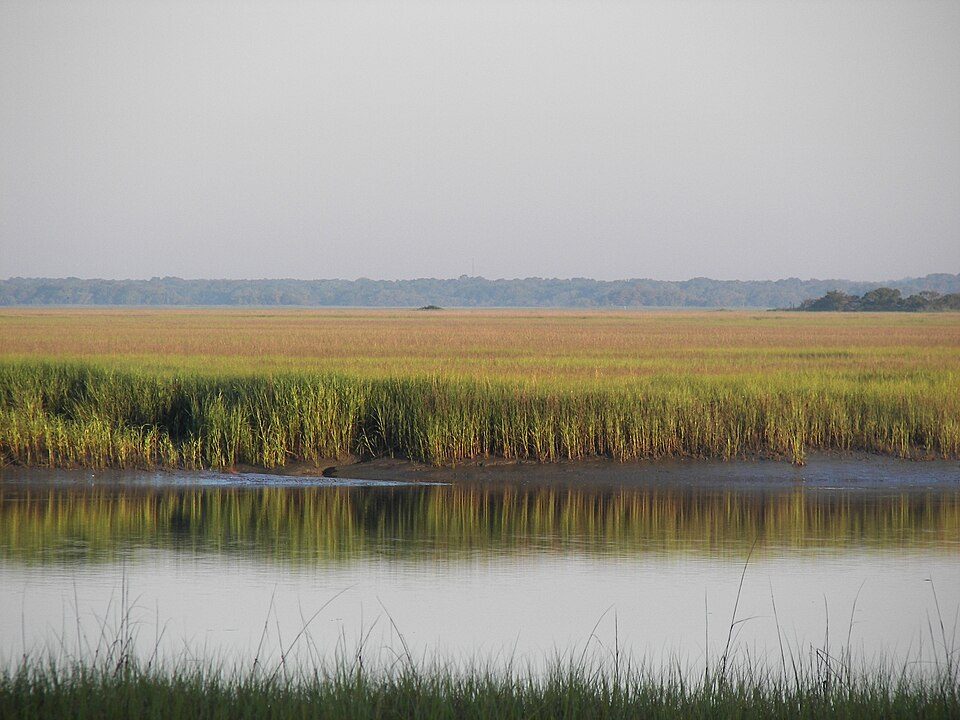 21 mi State parkHunting Island State Park
Photo credits
Mercer House: Kyle Kesselring from Canal Winchester, OH, CC BY 2.0 · Fort Pulaski National Monument: Edibobb, CC BY 3.0 · Sorrel–Weed House: Unknown, CC BY-SA 3.0 · Wormsloe Historic Site: Bubba73, CC BY-SA 3.0 · Charlesfort-Santa Elena Site: Arman Manookian, Public domain · Hunting Island State Park: The original uploader was Cdamgen at English Wikipedia., Public domain


Everything we know about Laurel Bay
Colleges nearby
1 within 15 miles of the center of Laurel Bay
About 5 of every 100 Laurel Bay residents are enrolled in college, about the same as South Carolina.
97% of working residents leave Laurel Bay for work
Where Laurel Bay’s working residents go each day. Line width shows the share.
Census LEHD 2023
About Laurel Bay
CDP in South Carolina, United States
Laurel Bay is a census-designated place and military housing complex in Beaufort County, South Carolina, United States. The population was 5,891 at the 2010 census. As defined by the U.S. Census Bureau, Laurel Bay is included within the Hilton Head Island-Bluffton-Beaufort, SC Metropolitan Statistical Area. The base primarily houses military personnel with families that are stationed at the nearby military bases: MCAS Beaufort, MCRD Parris Island, and USNH Beaufort. The housing area first opened in the mid-1950s.
From Wikipedia, licensed CC BY-SA 4.0 · facts via Wikidata (CC0)
- Area
- 5.2 sq mi
- Elevation
- 36 ft
Laurel Bay’s neighbors
2 towns share a border with Laurel Bay.
| Town | SC rank | Overall | Cost | Safety | Schools | Health |
|---|---|---|---|---|---|---|
| Laurel Bay | #98 | C | C+ | — | B+ | B+ |
| Beaufort | #88 | C | C+ | D | B+ | A− |
| Burton | #52 | B− | B | — | B+ | B− |
Laurel Bay and Burton report no FBI crime data of their own. Compare Laurel Bay with a neighbor →
Questions about Laurel Bay
Short answers, built from the data on this page.
Is Laurel Bay, SC a good place to live?
Laurel Bay grades C overall, better than 31% of U.S. towns and #98 of 167 in South Carolina. It grades B+ for health and B+ for schools. Hazard risk is its weak spot, with a D−.
Is Laurel Bay, SC expensive?
The typical home is worth about $232,000, 24% below the South Carolina typical home. Cost of living, which also weighs rents, property taxes and how many households pay 30% or more of their income for housing, grades C+.