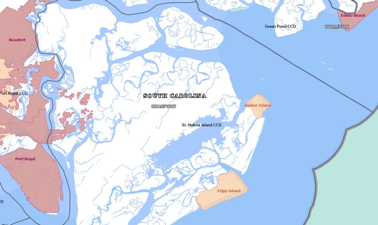
Fripp IslandSC
In South Carolina, this town has 752 residents.
Is Fripp Island a good place to live?
57% of adults 25 and older hold a bachelor’s degree or more in Fripp Island, against 23% in South Carolina’s towns and 29% across U.S. towns. Of the 170 South Carolina towns we compare, none has a lower share of residents below the poverty line than Fripp Island. Fripp Island’s trail network density is 1.5 miles per square mile, above both the South Carolina town median (0.3) and the median of U.S. towns (0.4). The biggest park or preserve is Hunting Island State Park, at 79 acres. Fripp Island has fewer than 1,000 residents, too few for fair grades; the figures below are still real.
Fripp Island lives by the ocean
Coastal flooding makes up 24% of the storm damage FEMA expects here.
- Hunting Island State Park
FEMA National Risk Index · OpenFEMA · OpenStreetMap
Moving to Fripp Island: who provides what
Fripp Island is unincorporated, so Beaufort County and regional agencies provide most services.
EPA SDWIS (Oct 9, 2026) · HIFLD + EIA-861 2025 · Census 2020 ZCTAs · NCES 2024–25 · registration: vote.gov, updated Sep 12, 2025.
The data
Ordered by what stands out in Fripp Island.
Fripp Island stands out in South Carolina and nationally: the FEMA risk score there is higher
Of the losses FEMA expects in Fripp Island, 66% come from hurricanes and 24% from coastal flooding. Federal disaster aid has reached households in Fripp Island once, in 2016. Expected storm and flood damage is higher than in 99% of U.S. communities.
FEMA disaster declarations and aid · FEMA National Risk Index · OpenFEMA
Fripp Island has 0.3 jobs for every working resident, so most commute out
Jobs in Fripp Island fell by 22 from 2013 to 2023, to 86. Most people who work leave Fripp Island to do it: just 8% work in town. The town’s typical journey to work is 30 minutes. The top destinations are Harbor Island (13%), Beaufort (8%) and Burton (7%).
| Fripp Island | South Carolina towns | U.S. towns | |
|---|---|---|---|
| Median household income | $103,000 | $57,000 | $80,000 |
| Average trip to work | 30 minutes | 24 minutes | 25 minutes |
Where working residents work
Census LEHD 2023 · ACS
Typical low → high °F
NOAA U.S. Climate Normals, 1991–2020
A smaller share of adults in Fripp Island have been diagnosed with depression than in the typical South Carolina or U.S. town
Among 170 South Carolina towns, just one has a lower share of adults who say their health is fair or poor than Fripp Island. Fripp Island: 25% of adults have obesity. CDC measures, 32 in all: Fripp Island beats South Carolina on 24 and trails on 5. Nearly one in ten adults in Fripp Island report frequent mental distress; 24% sleep under 7 hours.
| Fripp Island | South Carolina towns | U.S. towns | |
|---|---|---|---|
| Smoke cigarettes (CDC PLACES) | 5.9% | 15% | 14% |
| Frequent mental distress (CDC PLACES) | 8.7% | 18% | 17% |
| Sleep under 7 hours (CDC PLACES) | 24% | 38% | 36% |
| Feel lonely (CDC PLACES) | 21% | 33% | 33% |
| What stands out | Fripp Island | SC |
|---|---|---|
| Fewer older adults who have lost all their teeth | 3.5% | 13.9% |
| Fewer adults facing housing insecurity | 3.4% | 13.3% |
| More adults who have had cancer | 17.7% | 8.6% |
CDC PLACES 2025 · modeled estimates for adults · CMS · HRSA
Fripp Island keeps 0.2% of its land conserved
Across 2 parks and preserves: 7.0 miles of trail.
| Biggest places to walk | Trails | Acres |
|---|---|---|
| 1. Hunting Island State Park | — | 79 |
| 2. Davis Love Park | — | 1 |
Trails & parks © OpenStreetMap contributors · Conserved land: USGS PAD-US
Homes in Fripp Island sell for about $825K
On the market in Fripp Island: a median 86 days to sell. Only one of the 170 South Carolina towns we compare has a higher home-ownership rate than Fripp Island. Also worth knowing: homes in Fripp Island sold for 98.1% of their list price on average.
Census ACS, 2020–24 · Zillow Home Value Index · Redfin Data Center
Angel Oak and 25 more within 40 miles
Museums, parks, gardens and other places to visit around Fripp Island. Close and well known come first.
 36 mi Park & preserveAngel Oak
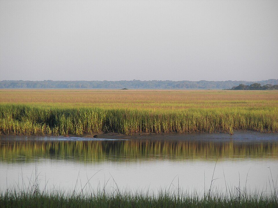 4 mi State parkHunting Island State Park
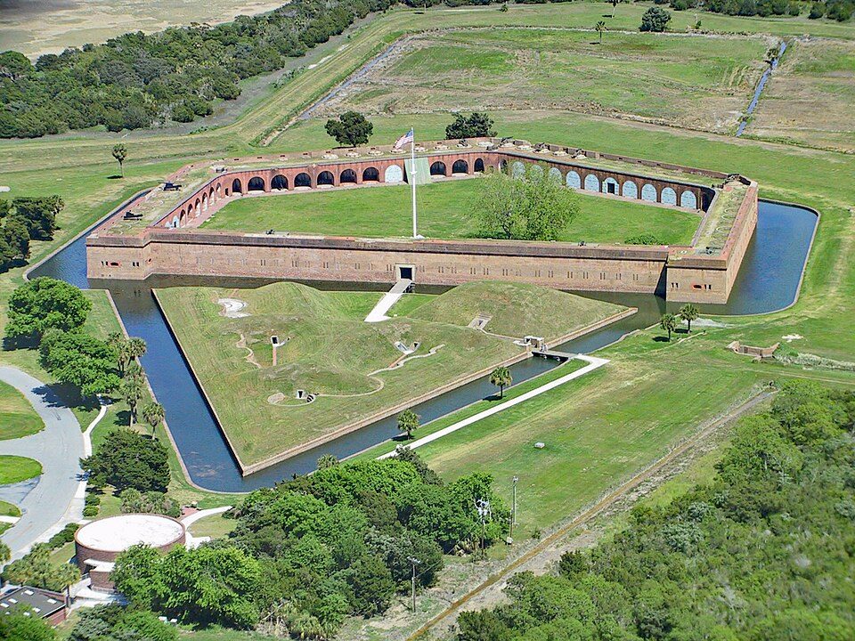 31 mi National MonumentFort Pulaski National Monument321K visitors a year
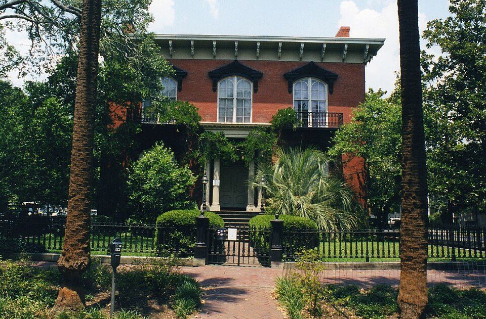 40 mi MuseumMercer House
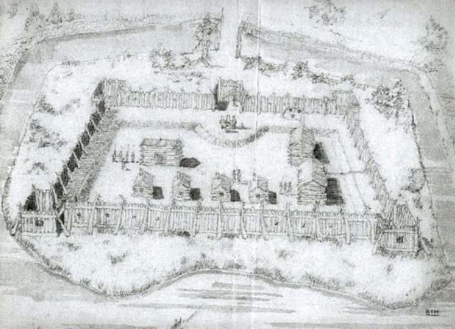 11 mi Ancient siteCharlesfort-Santa Elena Site
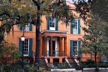 40 mi MuseumSorrel–Weed House
Photo credits
Angel Oak: Galen Parks Smith, CC BY-SA 3.0 · Hunting Island State Park: The original uploader was Cdamgen at English Wikipedia., Public domain · Fort Pulaski National Monument: Edibobb, CC BY 3.0 · Mercer House: Kyle Kesselring from Canal Winchester, OH, CC BY 2.0 · Charlesfort-Santa Elena Site: Arman Manookian, Public domain · Sorrel–Weed House: Unknown, CC BY-SA 3.0


Everything we know about Fripp Island
Colleges nearby
1 within 15 miles of the center of Fripp Island
About 3 of every 100 Fripp Island residents are enrolled in college, against 6 across South Carolina.
752 people, and everyone knows the way
In a town this size, neighbors are the best guide. Ask them anything.
About Fripp Island
Census-designated place in South Carolina, United States
Fripp Island is a 6.546 sq mi (16.954 km2) barrier island and census-designated place (CDP) located along the Atlantic coast of the lowcountry part of South Carolina. It was first listed as a CDP in the 2020 census with a population of 963. It is approximately 21 miles from Beaufort, 96 miles south of Charleston, and 65 miles north of Savannah, Georgia. Some of the neighboring islands include Hunting Island, Harbor Island, Saint Helena Island, Lady's Island, and Pritchard's Island. The island mostly serves as a residential vacation resort, but several hundred residents make it their permanent home. It is also the most seaward of the South Carolina Sea Islands. Fripp is renowned for its reso…
From Wikipedia, licensed CC BY-SA 4.0 · facts via Wikidata (CC0)
- Area
- 4.6 sq mi
- Elevation
- 3 ft
- ZIP code
- 29920
Questions about Fripp Island
Short answers, built from the data on this page.
Is Fripp Island, SC a good place to live?
Fripp Island has fewer than 1,000 residents, too few for fair grades; the figures below are still real.