
At a Saturday night square dance, 1940
Clayville’s story
178 years in pictures
The archive holds 18 old photos and papers going back to 1940 and 7 maps from 1889 on.
- 1848Clayville is settled
Each edition grades its towns against each other only.

Clayville has fewer than 1,000 residents, too few for fair grades; the figures below are still real.
Where Clayville beats most towns.
In a town this size, neighbors are the best guide. Ask them anything.
The archive holds 18 old photos and papers going back to 1940 and 7 maps from 1889 on.
Museums, parks, gardens and other places to visit around Clayville. Close and well known come first.
 Big draw20 mi LakeLake Chaubunagungamaug
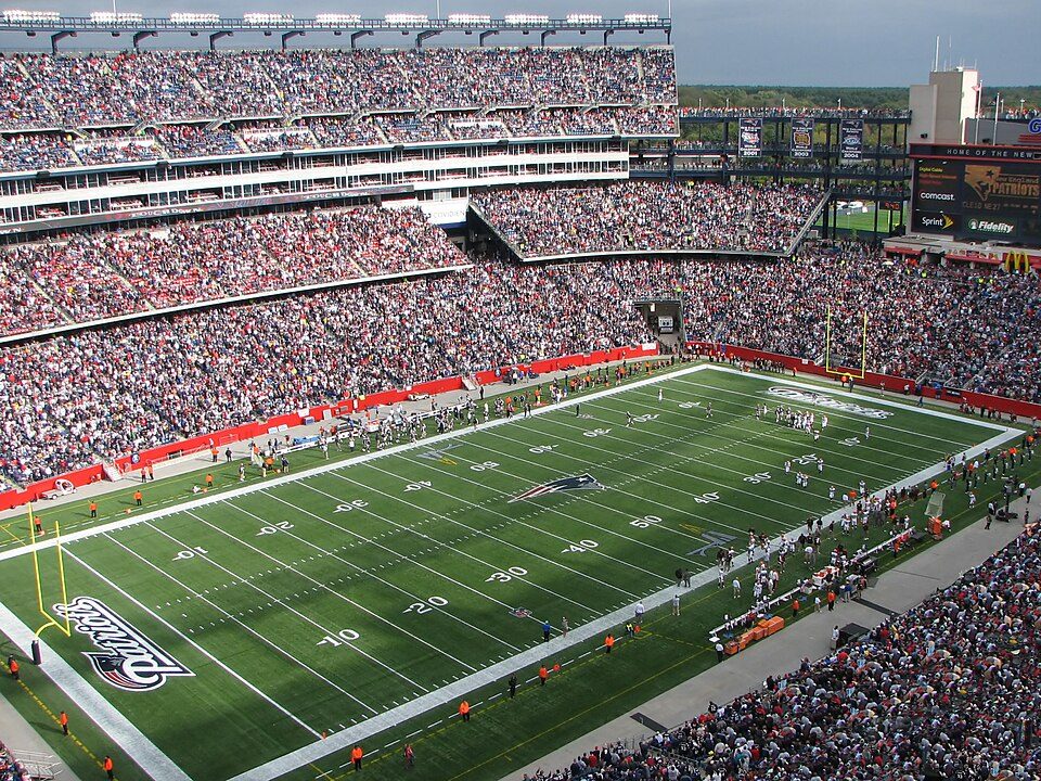 Big draw31 mi Stadium & arenaGillette Stadium
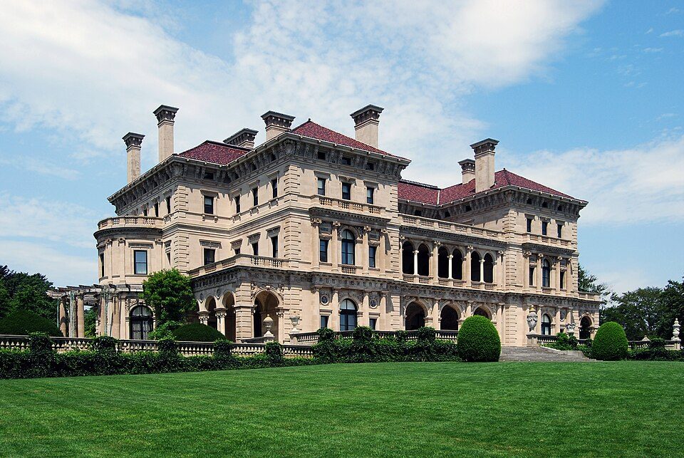 Big draw29 mi MuseumThe Breakers
 21 mi Ancient siteHMS Endeavour
 28 mi MuseumUSS Massachusetts
 29 mi MuseumMarble House
Lake Chaubunagungamaug: Bree from Worcester, MA, USA, CC BY-SA 2.0 · Gillette Stadium: Bernard Gagnon, CC BY-SA 3.0 · The Breakers: UpstateNYer, CC BY-SA 3.0 · HMS Endeavour: Samuel Atkins (c.1760-1810), Public domain · USS Massachusetts: USN, Public domain · Marble House: [email protected], Public domain
Clayville is unincorporated, so Providence County and regional agencies provide most services.
EPA SDWIS (Oct 9, 2026) · HIFLD + EIA-861 2025 · Census 2020 ZCTAs · NCES 2024–25 · registration: vote.gov, updated Sep 30, 2026.
Ordered by what stands out in Clayville.
Clayville’s risk rating from FEMA stands at 20 of 100, below both Rhode Island’s towns (26 of 100) and U.S. towns (44 of 100). 71% of the town’s expected losses from natural hazards come from inland flooding, followed by hurricanes at 10%. Expected storm and flood damage is lower than in 80% of U.S. communities.
FEMA National Risk Index · OpenFEMA
The top destinations are Providence (20%), Cranston (7%) and Smithfield (7%). Half of commuters travel less than 14 miles.
Census LEHD 2023 · ACS
Clayville’s July high stands at 82°F, against 82°F in Rhode Island’s towns and 85°F across U.S. towns.
NOAA U.S. Climate Normals, 1991–2020
Of 32 CDC measures, Clayville beats the Rhode Island average on 8 and trails it on 3. For adults locally, the share who had a checkup this year is 86%. In Clayville, 37% of adults have high blood pressure, and 32% have obesity.
| Clayville | Rhode Island towns | U.S. towns | |
|---|---|---|---|
| Yearly checkup (CDC PLACES) | 86% | 85% | 79% |
| High blood pressure (CDC PLACES) | 37% | 34% | 35% |
| Obesity (CDC PLACES) | 32% | 29% | 35% |
| No health insurance, 18–64 (CDC PLACES) | 4.7% | 5.4% | 8.1% |
| What stands out | Clayville | RI |
|---|---|---|
| Fewer uninsured adults | 4.7% | 8.2% |
| Fewer adults facing food insecurity | 10.5% | 15.1% |
| More adults who have had cancer | 10.5% | 8.4% |
CDC PLACES 2025 · modeled estimates for adults · CMS · HRSA
7 within 15 miles of the center of Clayville
About 13 of every 100 Clayville residents are enrolled in college, against 8 across Rhode Island.
Where Clayville’s working residents go each day. Line width shows the share.
Census LEHD 2023
Census-designated place in Rhode Island, United States
Clayville is a census-designated place mostly in the town of Foster, with the remainder in Scituate in Providence County, Rhode Island, United States. As of the 2020 census, Clayville had a population of 312. It is the location of the Clayville Historic District.
From Wikipedia, licensed CC BY-SA 4.0 · facts via Wikidata (CC0)
Short answers, built from the data on this page.
Clayville has fewer than 1,000 residents, too few for fair grades; the figures below are still real.


