The place was on the route of an old Lenape trail to New York and developed into a typical colonial crossroads, with inns, stables, blacksmiths, and wheelwright shops. William Penn granted land to physician Nicholas More and the tract became known as the "Manor of Moreland" and later, Moreland Township. The place dates to the year 1711 when the Old York Road was laid out from Philadelphia to New Hope where the Delaware River was crossed at Coryell's Ferry. In 1792, mapmaker Reading Howell was said to remark upon the abundance of "willow trees in the marshy land" and the name "Willow Grove" stuck. During the American Revolution, inn keeper Joseph Butler, proprietor of the Red Lion Inn at Willow Grove tended to wounded American soldiers. He was later arrested by the British and held prisoner in Philadelphia.
Passages that mention Willow Grove, cut from the printed page as they were published.
History of Montgomery County, Pennsylvania1884 · page 877Read the page →
Read the text
division of the same was made, and the respective townships required to attend to it in the future. The road from Groeme Park by way of Horsham Meetinghouse to the York road, at Willow Grove, was opened in 1722, and also the same year from the former place down the county line, to Hatboro'. As these were laid out from Governor Keith's settlement, the former was long known as the " Governor's road." The
Text read by machine from the scan; it may contain errors.
A brief history of Montgomery County, Pennsylvania, with an accompanying map1923 · page 192Read the page →
Read the text
Meeting House to Hatfield township is reached. A mile to the southeast is the Horsham Friends’ Meeting House, an old land¬ mark, on the historic Easton road, connecting Easton by way of Doylestown and Philadelphia by way of Willow Grove. Settlement in the vicinity of the meeting house was made by the Palmers, 1683, and by Iredells and Lukenses about 1709 or 1710. The first house of worship was built 1718-1721; the present, 1803. A school, insti¬ tuted here 1753, was conducted continuously and successfully until
Text read by machine from the scan; it may contain errors.
History of Montgomery County, Pennsylvania1884 · page 977Read the page →
Read the text
iliddle road, to the "iSorrel Horse," in 1848; and the Warminster in 1850. The North East Pennsylvania Railroad has two miles of road in this township, and has stations at Willow Grove, Heaton, Fulmor and Bonair. The branch extending from Jenkintown to New York, has a course of two miles and a half, and a station called Bethayres. The Newtown Railroad has three miles of track in the township witli sta-
Text read by machine from the scan; it may contain errors.
Montgomery County, Pennsylvania1923 · page 319Read the page →
Read the text
Willow Grove is situated at the junction of the Doylestown and York road, thirteen miles north of Philadelphia. In 171 1 the York road was laid out from Philadelphia to this point. The stream flowing through here in 1722 was known as Round Meadow run, over which a bridge had been constructed. A hotel here advertised "good stabling for a hundred horses," showing what travel was expected over that route.
Text read by machine from the scan; it may contain errors.
Scans and text from the Internet Archive. Books published in 1930 or earlier, which are in the public domain.
By decade
Willow Grove, decade by decade
2 decades in the archive, from the 1890s to the 1900s. Scroll each row; tap a photo for its story.
Nothing in the archives for these yearsWeddings on Main Street, storms, parades, school pictures, the old store. If it’s in your family album, it belongs here.
Founding dates: Wikidata, Wikipedia, the U.S. post office records of Blevins & Helbock (CC0) and the Census. Homes by year built: Census ACS 2020–24. National Register of Historic Places: National Park Service (list of May 22, 2026). Old photos, postcards and papers: Wikimedia Commons, the Library of Congress and other public archives, credited on each item’s page. Maps: U.S. Geological Survey historical topographic maps (via Esri) and Sanborn fire-insurance maps (Library of Congress). History text and census tables: Wikipedia (CC BY-SA 4.0). Places that used to be: USGS Geographic Names Information System (2021). How TownRatings grades history →
From Wikimedia Commons (1), the Library of Congress (5), Wikipedia, Wikidata and Wikipedia for famous people and old county and town histories (Internet Archive). Archive images are copied here with their credits and licenses, shown on each photo’s page. Refreshed monthly.

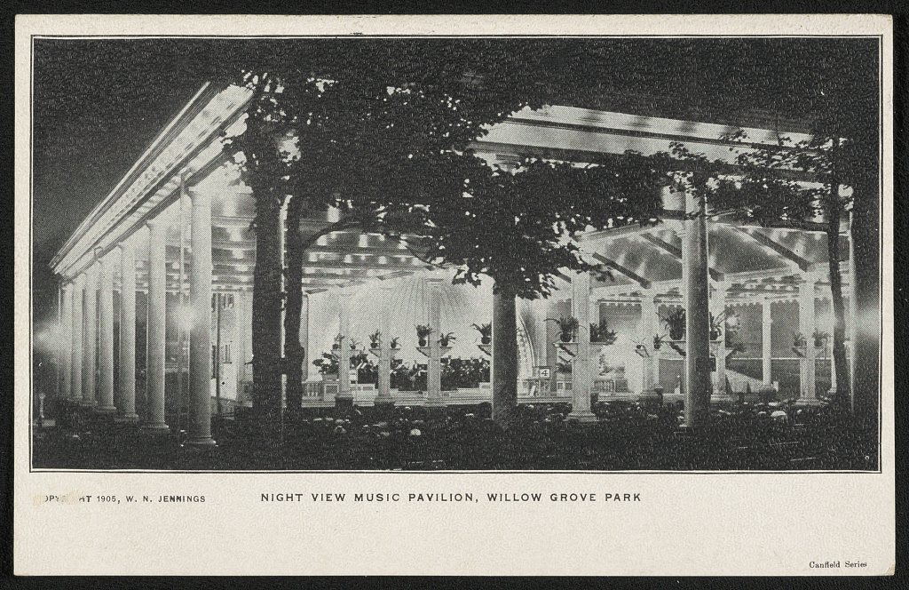


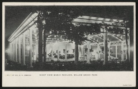 1905
 1905
 1905
 1907